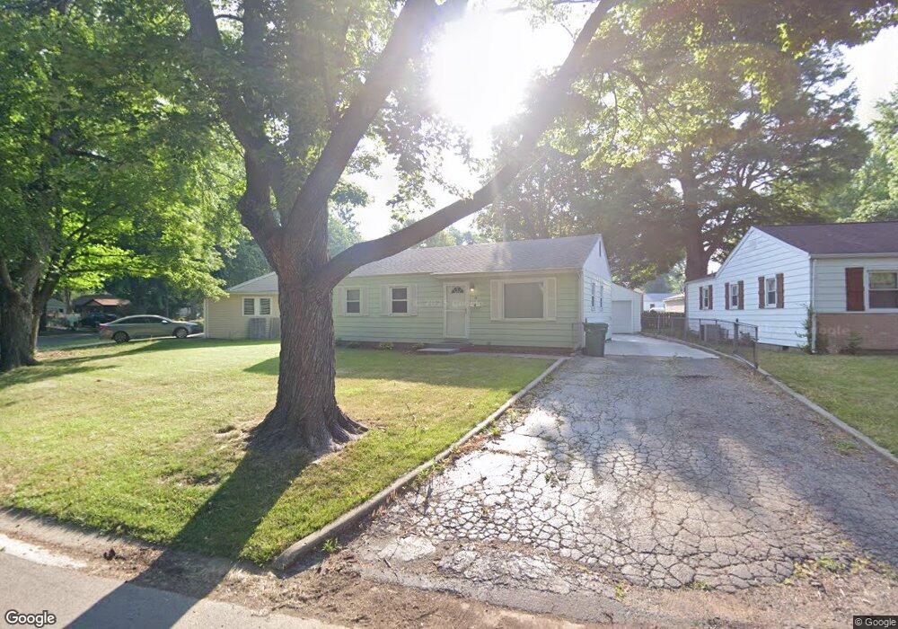
18 Beverly Dr Springfield, IL 62702
Estimated Value: $99,000 - $112,569
3
Beds
1
Bath
912
Sq Ft
$114/Sq Ft
Est. Value
About This Home
This home is located at 18 Beverly Dr, Springfield, IL 62702 and is currently estimated at $104,142, approximately $114 per square foot. 18 Beverly Dr is a home located in Sangamon County with nearby schools including Jane Addams Elementary School, U.S. Grant Middle School, and Lanphier High School.
Ownership History
Date
Name
Owned For
Owner Type
Purchase Details
Closed on
May 21, 2020
Sold by
Cassiday Trace P and Cassiday Laura M
Bought by
Garner Matthew E
Current Estimated Value
Home Financials for this Owner
Home Financials are based on the most recent Mortgage that was taken out on this home.
Original Mortgage
$68,400
Outstanding Balance
$59,983
Interest Rate
2.88%
Mortgage Type
New Conventional
Estimated Equity
$44,159
Purchase Details
Closed on
Mar 8, 2016
Purchase Details
Closed on
Dec 16, 2011
Purchase Details
Closed on
Dec 15, 2011
Create a Home Valuation Report for This Property
The Home Valuation Report is an in-depth analysis detailing your home's value as well as a comparison with similar homes in the area
Purchase History
| Date | Buyer | Sale Price | Title Company |
|---|---|---|---|
| Garner Matthew E | $72,000 | Illinois Real Estate Title | |
| -- | $67,000 | -- | |
| -- | $64,000 | -- | |
| -- | -- | -- |
Source: Public Records
Mortgage History
| Date | Status | Borrower | Loan Amount |
|---|---|---|---|
| Open | Garner Matthew E | $68,400 |
Source: Public Records
Tax History
| Year | Tax Paid | Tax Assessment Tax Assessment Total Assessment is a certain percentage of the fair market value that is determined by local assessors to be the total taxable value of land and additions on the property. | Land | Improvement |
|---|---|---|---|---|
| 2024 | $1,888 | $28,472 | $2,988 | $25,484 |
| 2023 | $1,769 | $26,006 | $2,729 | $23,277 |
| 2022 | $1,652 | $24,434 | $2,588 | $21,846 |
| 2021 | $1,577 | $23,519 | $2,491 | $21,028 |
| 2020 | $1,503 | $23,060 | $2,496 | $20,564 |
| 2019 | $1,473 | $22,979 | $2,487 | $20,492 |
| 2018 | $1,443 | $23,084 | $2,475 | $20,609 |
| 2017 | $1,407 | $22,786 | $2,443 | $20,343 |
| 2016 | $1,372 | $22,453 | $2,407 | $20,046 |
| 2015 | $1,264 | $21,122 | $2,378 | $18,744 |
| 2014 | $1,261 | $20,986 | $2,363 | $18,623 |
| 2013 | $1,233 | $21,219 | $2,363 | $18,856 |
Source: Public Records
Map
Nearby Homes
- 2321 Winners Cir
- 2011 W Jefferson St
- 2102 W Jefferson St
- 904 Diane Ct
- 809 Diane Ct
- 23 Lilac Ln
- 1621 W North Grand Ave
- 1617 W North Grand Ave
- 116 Shennadoh Dr
- 2510 & 2518 W Jefferson St
- 1913 Jeanette Ln Unit 8
- 812 Roanoke Dr
- 1914 Jeanette Ln Unit 6
- 12 Gettysburg Dr
- 27 Skyview Dr
- 1515 N Lincoln Ave Unit 63
- 1515 N Lincoln Ave Unit 14
- 1515 N Lincoln Ave Unit 74
- 1515 N Lincoln Ave Unit 68
- 1128 W Elliott Ave
Your Personal Tour Guide
Ask me questions while you tour the home.