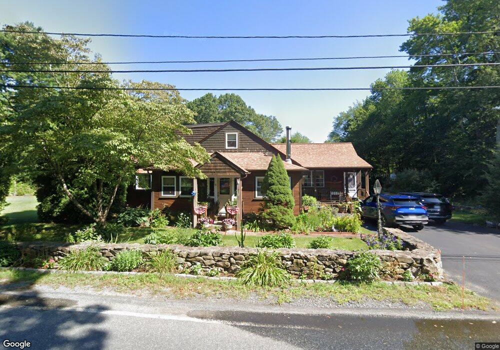
18 Broad St Rehoboth, MA 02769
Estimated Value: $537,940 - $577,000
4
Beds
2
Baths
1,547
Sq Ft
$358/Sq Ft
Est. Value
About This Home
This home is located at 18 Broad St, Rehoboth, MA 02769 and is currently estimated at $554,235, approximately $358 per square foot. 18 Broad St is a home located in Bristol County with nearby schools including Dighton-Rehoboth Regional High School and Cedar Brook School.
Ownership History
Date
Name
Owned For
Owner Type
Purchase Details
Closed on
Nov 1, 1978
Bought by
Hawksley Roy W and Hawksley June A
Current Estimated Value
Create a Home Valuation Report for This Property
The Home Valuation Report is an in-depth analysis detailing your home's value as well as a comparison with similar homes in the area
Home Values in the Area
Average Home Value in this Area
Purchase History
| Date | Buyer | Sale Price | Title Company |
|---|---|---|---|
| Hawksley Roy W | -- | -- |
Source: Public Records
Mortgage History
| Date | Status | Borrower | Loan Amount |
|---|---|---|---|
| Open | Hawksley Roy W | $10,000 | |
| Closed | Hawksley Roy W | $13,439 | |
| Closed | Hawksley Roy W | $50,000 |
Source: Public Records
Tax History
| Year | Tax Paid | Tax Assessment Tax Assessment Total Assessment is a certain percentage of the fair market value that is determined by local assessors to be the total taxable value of land and additions on the property. | Land | Improvement |
|---|---|---|---|---|
| 2025 | $50 | $448,000 | $171,600 | $276,400 |
| 2024 | $4,526 | $398,400 | $171,600 | $226,800 |
| 2023 | $4,574 | $395,000 | $168,400 | $226,600 |
| 2022 | $4,320 | $341,000 | $160,800 | $180,200 |
| 2021 | $3,021 | $329,100 | $145,700 | $183,400 |
| 2020 | $4,284 | $326,500 | $145,700 | $180,800 |
| 2018 | $3,705 | $309,500 | $138,600 | $170,900 |
| 2017 | $5,099 | $297,900 | $138,600 | $159,300 |
| 2016 | $3,474 | $285,900 | $138,600 | $147,300 |
| 2015 | $3,580 | $290,800 | $132,000 | $158,800 |
| 2014 | $3,433 | $276,000 | $125,800 | $150,200 |
Source: Public Records
Map
Nearby Homes
- 23 Colonial Way
- 48 Broad St
- 7 Ciana Rd
- 252 Pine St
- 15 Hickory Ridge Rd
- 111 Summer St
- 9 Wedge Way
- 20 School St
- 321 Winthrop St
- 67 Wheeler St
- 145 Winthrop St
- 0 Winter St
- 24 Danforth St
- 0 Winthrop St Unit 73180872
- 23 Bay State Rd
- 1 Clubhouse Way
- 139 Rocky Hill Rd
- 156 Rocky Hill Rd
- 8 Linden Ln
- 8 Linden Ln
- 19 Broad St
- 20 Broad St
- 11 Broad St
- 23 Broad St
- 00 Broad St
- 67 River St
- 450 Winthrop St
- 26 Broad St
- 454 Winthrop St
- 27 Broad St
- 9 Broad St
- 462 Winthrop St Unit 2
- 462 Winthrop St Unit 3
- 462 Winthrop St Unit 1B
- 462 Winthrop St Unit 7
- 446 Winthrop St
- 453 Winthrop St
- 460 Winthrop St
- 33 Broad St
- 32 Broad St
Your Personal Tour Guide
Ask me questions while you tour the home.