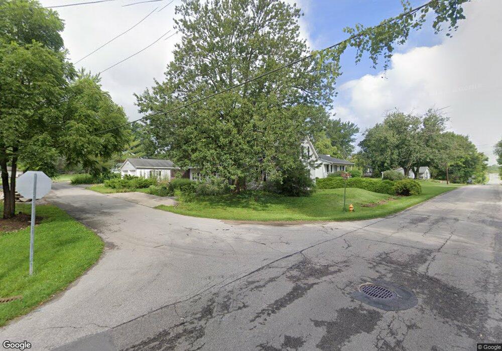
18 Carr St Ostrander, OH 43061
Scioto NeighborhoodEstimated Value: $251,000 - $339,000
About This Home
This home is located at 18 Carr St, Ostrander, OH 43061 and is currently estimated at $295,503, approximately $142 per square foot. 18 Carr St is a home located in Delaware County with nearby schools including Buckeye Valley High School.
Ownership History
We collect this data history from publicly available records. To have your information removed, we recommend requesting removal directly through your county’s website.
Purchase Details
Purchase Details
Purchase Details
Home Financials for this Owner
Home Financials are based on the most recent Mortgage that was taken out on this home.Purchase Details
Purchase Details
Home Financials for this Owner
Home Financials are based on the most recent Mortgage that was taken out on this home.Purchase Details
Home Values in the Area
Average Home Value in this Area
Purchase History
We collect this data history from publicly available records. To have your information removed, we recommend requesting removal directly through your county’s website.
| Date | Buyer | Sale Price | Title Company |
|---|---|---|---|
| -- | Attorney | ||
| -- | Attorney | ||
| $123,000 | Talon Group | ||
| $123,000 | Talon Group | ||
| $50,000 | Lakeside Title & Escrow Agen | ||
| $50,000 | Lakeside Title & Escrow Agen | ||
| $62,000 | -- | ||
| $62,000 | -- | ||
| $90,000 | -- | ||
| $90,000 | -- | ||
| $69,900 | -- | ||
| $69,900 | -- |
Mortgage History
We collect this data history from publicly available records. To have your information removed, we recommend requesting removal directly through your county’s website.
| Date | Status | Borrower | Loan Amount |
|---|---|---|---|
| Previous Owner | $80,000 | ||
| Previous Owner | $89,282 |
Tax History
We collect this data history from publicly available records. To have your information removed, we recommend requesting removal directly through your county’s website.
| Year | Tax Paid | Tax Assessment Tax Assessment Total Assessment is a certain percentage of the fair market value that is determined by local assessors to be the total taxable value of land and additions on the property. | Land | Improvement |
|---|---|---|---|---|
| 2025 | $2,430 | $70,700 | $14,280 | $56,420 |
| 2024 | $2,387 | $70,700 | $14,280 | $56,420 |
| 2023 | $2,386 | $70,700 | $14,280 | $56,420 |
| 2022 | $1,687 | $44,600 | $9,910 | $34,690 |
| 2021 | $1,642 | $44,600 | $9,910 | $34,690 |
| 2020 | $1,328 | $44,600 | $9,910 | $34,690 |
| 2019 | $1,162 | $37,420 | $8,260 | $29,160 |
| 2018 | $1,183 | $37,420 | $8,260 | $29,160 |
| 2017 | $1,318 | $37,700 | $6,300 | $31,400 |
| 2016 | $1,463 | $37,700 | $6,300 | $31,400 |
| 2015 | $1,543 | $37,700 | $6,300 | $31,400 |
| 2014 | $1,451 | $37,700 | $6,300 | $31,400 |
| 2013 | $1,510 | $37,700 | $6,300 | $31,400 |
Map
- 0 E High St Unit Tract 1 225034753
- 0 E High St Unit Tract 4 225034758
- 3480 Ostrander Rd
- 303 Ben Curtis Dr
- 325 Long Trail
- 8960 Mills Rd
- 534 Brayshaw Dr
- 112 Highview Ct
- 3700 Burnt Pond Rd
- 9639 Stults Farm Dr
- 0 Carr Rd Unit 225016840
- 0 Burnt Pond Rd Unit Tract 2
- 11394 US Highway 36
- 15319 Fish Rd
- 0 Delaware County Line Rd
- 0 Ohio 257 Unit Lot 1
- 1181 Ostrander Rd
- 0 Brown Rd Unit 226018803
- 0 Brown Rd Unit 226018806
- 11042 Hinton Mill Rd
- 201 N Main St
- 185 N Main St
- 18 Carr St
- 171 N Main St
- 235 N Main St
- 40 Loveless St
- 180 N Main St
- 58 Loveless St
- 222 N Main St
- 249 N Main St
- 0 N Main St Unit Lot 1 214047340
- 0 N Main St Unit Lot 3 214047350
- 0 N Main St Unit Lot 2
- 150 N Main St
- 70 Carr St
- 135 N Main St
- 267 N Main St
- 82 Loveless St
- 197 N 2nd St
- 177 N 2nd St
Ask me questions while you tour the home.