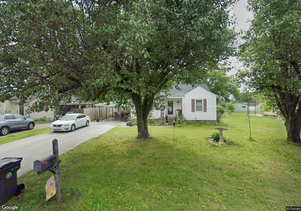
18 Eaton Cir Fort Oglethorpe, GA 30742
Estimated Value: $171,000 - $191,000
2
Beds
1
Bath
1,050
Sq Ft
$173/Sq Ft
Est. Value
About This Home
This home is located at 18 Eaton Cir, Fort Oglethorpe, GA 30742 and is currently estimated at $181,269, approximately $172 per square foot. 18 Eaton Cir is a home located in Catoosa County with nearby schools including Battlefield Primary School, Battlefield Elementary School, and Lakeview Middle School.
Ownership History
Date
Name
Owned For
Owner Type
Purchase Details
Closed on
Jun 8, 2010
Sold by
Hofman Amanda
Bought by
Johnson William R
Current Estimated Value
Home Financials for this Owner
Home Financials are based on the most recent Mortgage that was taken out on this home.
Original Mortgage
$58,800
Outstanding Balance
$38,681
Interest Rate
4.91%
Mortgage Type
New Conventional
Estimated Equity
$142,588
Purchase Details
Closed on
Apr 21, 2003
Bought by
Hofman Amanda
Create a Home Valuation Report for This Property
The Home Valuation Report is an in-depth analysis detailing your home's value as well as a comparison with similar homes in the area
Home Values in the Area
Average Home Value in this Area
Purchase History
| Date | Buyer | Sale Price | Title Company |
|---|---|---|---|
| Johnson William R | $84,000 | -- | |
| Hofman Amanda | $86,000 | -- |
Source: Public Records
Mortgage History
| Date | Status | Borrower | Loan Amount |
|---|---|---|---|
| Open | Johnson William R | $58,800 |
Source: Public Records
Tax History
| Year | Tax Paid | Tax Assessment Tax Assessment Total Assessment is a certain percentage of the fair market value that is determined by local assessors to be the total taxable value of land and additions on the property. | Land | Improvement |
|---|---|---|---|---|
| 2025 | $1,349 | $60,061 | $10,000 | $50,061 |
| 2024 | $1,452 | $55,193 | $7,297 | $47,896 |
| 2023 | $1,202 | $42,795 | $7,297 | $35,498 |
| 2022 | $1,001 | $35,645 | $7,297 | $28,348 |
| 2021 | $949 | $35,645 | $7,297 | $28,348 |
| 2020 | $928 | $31,430 | $7,297 | $24,133 |
| 2019 | $938 | $31,430 | $7,297 | $24,133 |
| 2018 | $750 | $23,923 | $6,486 | $17,437 |
| 2017 | $750 | $23,938 | $6,486 | $17,452 |
| 2016 | $746 | $22,775 | $6,486 | $16,289 |
| 2015 | -- | $22,775 | $6,486 | $16,289 |
| 2014 | -- | $22,775 | $6,486 | $16,289 |
| 2013 | -- | $22,775 | $6,486 | $16,288 |
Source: Public Records
Map
Nearby Homes
- 3 Stovall St
- 312 Forrest Rd
- 29 Polk Cir
- 4 Delores Dr
- 3 Walker Ave
- 99 Battlewood Dr
- 2 Polk Cir
- 84 Elaine Cir
- 31 Jackson Way
- 47 Elaine Cir
- 4 Shelby St
- 92 S Glade Rd
- 215 Battlewood Dr
- 9 Chickamauga St
- 12 Maple Ln
- 291 S Cedar Ln
- 1943 Old Lafayette Rd
- 1112 Park Forrest Dr
- 309 Barnhardt Cir
- 212 Round Tree Dr
Your Personal Tour Guide
Ask me questions while you tour the home.