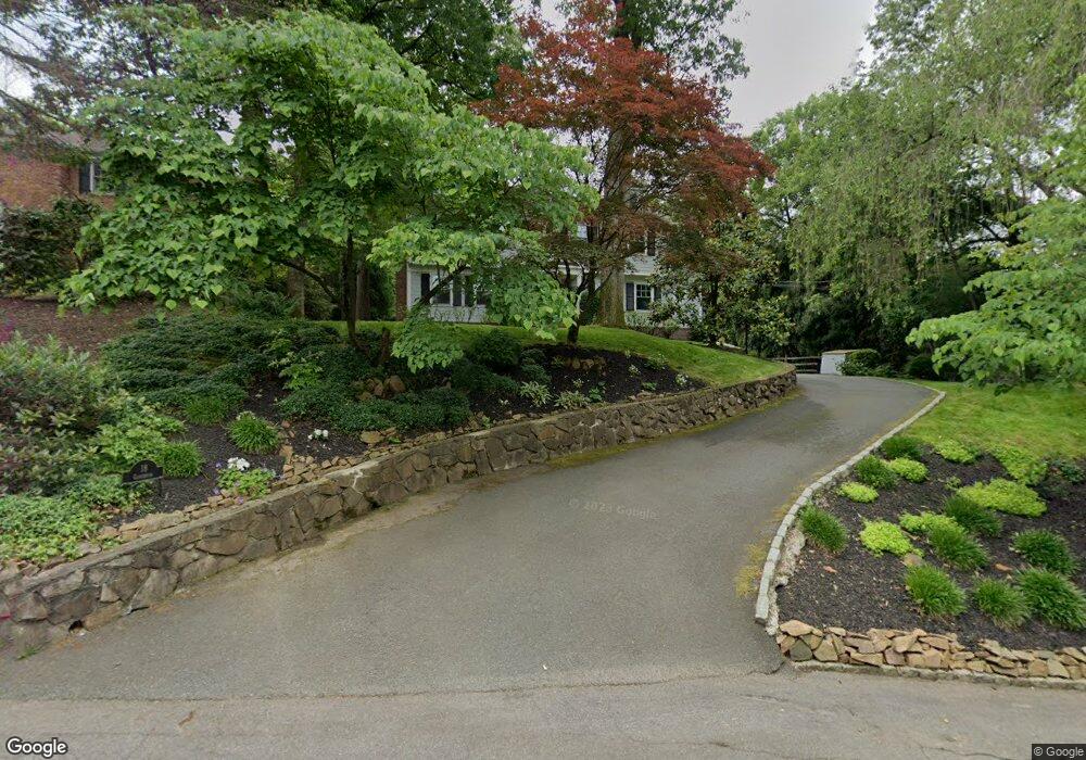
18 Gloucester Rd Summit, NJ 07901
Estimated Value: $1,720,777 - $2,162,000
Studio
--
Bath
2,843
Sq Ft
$695/Sq Ft
Est. Value
About This Home
This home is located at 18 Gloucester Rd, Summit, NJ 07901 and is currently estimated at $1,974,694, approximately $694 per square foot. 18 Gloucester Rd is a home located in Union County with nearby schools including L C Johnson Summit Middle School, Summit Sr High School, and Oak Knoll School of the Holy Child.
Ownership History
Date
Name
Owned For
Owner Type
Purchase Details
Closed on
Jul 11, 2003
Sold by
Geibel Dean
Bought by
Dephillips Andrew and Dephillips Karen
Current Estimated Value
Home Financials for this Owner
Home Financials are based on the most recent Mortgage that was taken out on this home.
Original Mortgage
$880,000
Outstanding Balance
$376,387
Interest Rate
5.34%
Estimated Equity
$1,598,307
Purchase Details
Closed on
Mar 16, 1994
Sold by
Daingerfield Ed L
Bought by
Geibel Dean S and Geibel Tara A
Home Financials for this Owner
Home Financials are based on the most recent Mortgage that was taken out on this home.
Original Mortgage
$440,000
Interest Rate
6.9%
Create a Home Valuation Report for This Property
The Home Valuation Report is an in-depth analysis detailing your home's value as well as a comparison with similar homes in the area
Home Values in the Area
Average Home Value in this Area
Purchase History
| Date | Buyer | Sale Price | Title Company |
|---|---|---|---|
| Dephillips Andrew | $1,100,000 | -- | |
| Geibel Dean S | $550,000 | -- |
Source: Public Records
Mortgage History
| Date | Status | Borrower | Loan Amount |
|---|---|---|---|
| Open | Dephillips Andrew | $880,000 | |
| Previous Owner | Geibel Dean S | $440,000 |
Source: Public Records
Tax History
| Year | Tax Paid | Tax Assessment Tax Assessment Total Assessment is a certain percentage of the fair market value that is determined by local assessors to be the total taxable value of land and additions on the property. | Land | Improvement |
|---|---|---|---|---|
| 2025 | $25,840 | $593,200 | $296,900 | $296,300 |
| 2024 | $25,668 | $593,200 | $296,900 | $296,300 |
| 2023 | $25,668 | $593,200 | $296,900 | $296,300 |
| 2022 | $25,407 | $593,200 | $296,900 | $296,300 |
| 2021 | $25,608 | $593,200 | $296,900 | $296,300 |
| 2020 | $25,864 | $593,200 | $296,900 | $296,300 |
| 2019 | $25,893 | $593,200 | $296,900 | $296,300 |
| 2018 | $25,727 | $593,200 | $296,900 | $296,300 |
| 2017 | $25,893 | $593,200 | $296,900 | $296,300 |
| 2016 | $25,514 | $593,200 | $296,900 | $296,300 |
| 2015 | $25,015 | $593,200 | $296,900 | $296,300 |
| 2014 | $24,369 | $593,200 | $296,900 | $296,300 |
Source: Public Records
Map
Nearby Homes
- 22 Brook Hollow Ln
- 78 Seven Oaks Dr
- 65 Seven Oaks Dr
- 71 Dale Dr
- 65 Division Ave
- 49 the Fellsway
- 226 Mountain Ave
- 157 Grant Ave
- 15 Alison Ct
- 84 Pine Grove Ave
- 63 Gallinson Dr
- 4 Parkview Terrace
- 113 Crest Dr
- 852 Springfield Ave
- 39 Gallinson Dr
- 709 Springfield Ave Unit One
- 709 Springfield Ave Unit 4
- 709 Springfield Ave Unit 2
- 709 Springfield Ave Unit 3
- 61 Oakwood Dr
- 15 Stony Hill Ct
- 14 Gloucester Rd
- 11 Stony Hill Ct
- 18 Stony Hill Ct
- 10 Gloucester Rd
- 22 Gloucester Rd
- 21 Gloucester Rd
- 11 Gloucester Rd
- 309 Ashland Rd
- 313 Ashland Rd
- 168 Division Ave
- 26 Gloucester Rd
- 315 Ashland Rd
- 303 Ashland Rd
- 111 Colt Rd
- 107 Colt Rd
- 27 Gloucester Rd
- 164 Division Ave
- 299 Ashland Rd
- 172 Division Ave
Your Personal Tour Guide
Ask me questions while you tour the home.