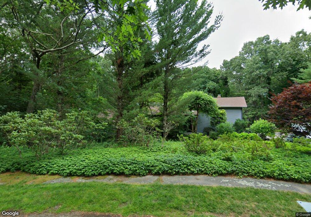
18 Wits End Weston, MA 02493
Estimated Value: $1,864,642 - $2,634,000
4
Beds
6
Baths
2,592
Sq Ft
$853/Sq Ft
Est. Value
About This Home
This home is located at 18 Wits End, Weston, MA 02493 and is currently estimated at $2,210,161, approximately $852 per square foot. 18 Wits End is a home located in Middlesex County with nearby schools including Country Elementary School, Woodland Elementary School, and Field Elementary School.
Ownership History
Date
Name
Owned For
Owner Type
Purchase Details
Closed on
May 26, 1993
Sold by
Belkin Steven B and Belkin Joan W
Bought by
Bookman Lawrence A and Bookman Laura D
Current Estimated Value
Home Financials for this Owner
Home Financials are based on the most recent Mortgage that was taken out on this home.
Original Mortgage
$50,000
Interest Rate
7.41%
Mortgage Type
Purchase Money Mortgage
Create a Home Valuation Report for This Property
The Home Valuation Report is an in-depth analysis detailing your home's value as well as a comparison with similar homes in the area
Home Values in the Area
Average Home Value in this Area
Purchase History
We collect this data history from publicly available records. To have your information removed, we recommend requesting removal directly through your county’s website.
| Date | Buyer | Sale Price | Title Company |
|---|---|---|---|
| Bookman Lawrence A | $625,000 | -- |
Source: Public Records
Mortgage History
We collect this data history from publicly available records. To have your information removed, we recommend requesting removal directly through your county’s website.
| Date | Status | Borrower | Loan Amount |
|---|---|---|---|
| Open | Bookman Lawrence A | $473,000 | |
| Closed | Bookman Lawrence A | $30,000 | |
| Closed | Bookman Lawrence A | $50,000 | |
| Closed | Bookman Lawrence A | $50,000 |
Source: Public Records
Tax History
| Year | Tax Paid | Tax Assessment Tax Assessment Total Assessment is a certain percentage of the fair market value that is determined by local assessors to be the total taxable value of land and additions on the property. | Land | Improvement |
|---|---|---|---|---|
| 2025 | $18,152 | $1,635,300 | $1,082,200 | $553,100 |
| 2024 | $17,513 | $1,574,900 | $1,082,200 | $492,700 |
| 2023 | $17,496 | $1,477,700 | $1,082,200 | $395,500 |
| 2022 | $17,492 | $1,365,500 | $1,024,800 | $340,700 |
| 2021 | $16,952 | $1,306,000 | $981,000 | $325,000 |
| 2020 | $16,904 | $1,317,500 | $981,000 | $336,500 |
| 2019 | $16,611 | $1,319,400 | $981,000 | $338,400 |
| 2018 | $16,752 | $1,339,100 | $981,000 | $358,100 |
| 2017 | $16,676 | $1,344,800 | $981,000 | $363,800 |
| 2016 | $16,421 | $1,350,400 | $981,000 | $369,400 |
| 2015 | $16,113 | $1,312,100 | $936,600 | $375,500 |
Source: Public Records
Map
Nearby Homes
- 41 Chesterton Rd
- 169 Hickory Rd
- 55 Oakdale Ave
- 568 Wellesley St
- 38 Parker Rd
- 2 Marigold Ave
- 53 Elmwood Rd
- 11 Scotch Pine Cir
- 8 Oakdale Ave
- 16 Sunnyside Ave
- 7 Massasoit Rd
- 48 Scotch Pine Rd
- 206 Bristol Rd
- 11 Ingleside Rd
- 58 Upland Rd
- 14 Greylock Rd
- 100 Albion Rd
- 83 Brown St
- 201 Lowell Rd
- 64 Country Dr
- 21 Wits End
- 14 Wits End
- 710 Wellesley St
- 702 Wellesley St
- 702 Wellesley St Unit 702
- 17 Wits End
- 720 Wellesley St
- 690 Wellesley St
- 32 Rockport Rd
- 705 Wellesley St
- 48 Rockport Rd
- 9 Wits End
- 40 Rockport Rd
- 12 Wits End
- 711 Wellesley St
- 22 Rockport Rd
- 726 Wellesley St
- 699 Wellesley St
- 680 Wellesley St
- 680 Wellesley St Unit 1
Your Personal Tour Guide
Ask me questions while you tour the home.