180 Hatch Rd New Gloucester, ME 04260
Estimated Value: $598,086 - $816,000
3
Beds
2
Baths
2,250
Sq Ft
$305/Sq Ft
Est. Value
About This Home
This home is located at 180 Hatch Rd, New Gloucester, ME 04260 and is currently estimated at $686,029, approximately $304 per square foot. 180 Hatch Rd is a home located in Cumberland County with nearby schools including Gray-New Gloucester High School.
Ownership History
Date
Name
Owned For
Owner Type
Purchase Details
Closed on
May 5, 2010
Sold by
Gist James M and Gist Faith S
Bought by
Clark Justin A
Current Estimated Value
Home Financials for this Owner
Home Financials are based on the most recent Mortgage that was taken out on this home.
Original Mortgage
$28,000
Outstanding Balance
$18,604
Interest Rate
5.03%
Mortgage Type
Purchase Money Mortgage
Estimated Equity
$667,425
Purchase Details
Closed on
Aug 21, 2007
Sold by
Gist James M and Gist Faith S
Bought by
Clark Maura T and Clark Justin A
Home Financials for this Owner
Home Financials are based on the most recent Mortgage that was taken out on this home.
Original Mortgage
$79,000
Interest Rate
6.67%
Mortgage Type
Unknown
Create a Home Valuation Report for This Property
The Home Valuation Report is an in-depth analysis detailing your home's value as well as a comparison with similar homes in the area
Home Values in the Area
Average Home Value in this Area
Purchase History
| Date | Buyer | Sale Price | Title Company |
|---|---|---|---|
| Clark Justin A | -- | -- | |
| Clark Maura T | -- | -- |
Source: Public Records
Mortgage History
| Date | Status | Borrower | Loan Amount |
|---|---|---|---|
| Open | Clark Maura T | $28,000 | |
| Previous Owner | Clark Maura T | $79,000 | |
| Previous Owner | Clark Maura T | $300,800 |
Source: Public Records
Tax History
| Year | Tax Paid | Tax Assessment Tax Assessment Total Assessment is a certain percentage of the fair market value that is determined by local assessors to be the total taxable value of land and additions on the property. | Land | Improvement |
|---|---|---|---|---|
| 2025 | $6,732 | $435,176 | $109,200 | $325,976 |
| 2024 | $6,480 | $435,176 | $109,200 | $325,976 |
| 2023 | $6,219 | $435,176 | $109,200 | $325,976 |
| 2022 | $6,005 | $435,176 | $109,200 | $325,976 |
| 2021 | $6,005 | $435,176 | $109,200 | $325,976 |
| 2020 | $5,940 | $435,176 | $109,200 | $325,976 |
| 2019 | $6,057 | $358,400 | $76,700 | $281,700 |
| 2018 | $5,663 | $358,400 | $76,700 | $281,700 |
| 2017 | $5,591 | $358,400 | $76,700 | $281,700 |
| 2016 | $5,268 | $358,400 | $76,700 | $281,700 |
| 2015 | $5,251 | $358,400 | $76,700 | $281,700 |
| 2014 | $5,197 | $358,400 | $76,700 | $281,700 |
| 2013 | $4,820 | $358,400 | $76,700 | $281,700 |
Source: Public Records
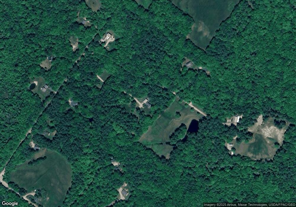
Map
Nearby Homes
- 21 Bald Hill Rd
- Bowdoin Way
- 10-56 C&E Bowdoin Way
- 56 Cobbs Bridge Rd
- 155 & 151 Gloucester Hill Rd
- 1890 Pownal Rd
- TBD Emmaus Rd
- 26 Hemlock Ln
- 436 Lot A Foster Rd
- 436 Lot B Foster Rd
- 14 Golden Way
- 71A Black Point Rd
- 145 Harvest Hill Ln
- 16 Harvest Hill Ln Unit 2
- 14 Harvest Hill Ln Unit 1
- 168 Auburn Pownal Rd
- 79 Charter Way
- 059-007 Soper's Mill Rd
- 2578 Hotel Rd
- 120 Brentwood Dr
- 180 A Hatch Rd
- 42 Homestead Rd
- 192 Hatch Rd
- 166 Hatch Rd
- 100 Rowe Station Rd
- 63 Homestead Rd
- 171 Hatch Rd
- 165 Hatch Rd
- 181 Hatch Rd
- 210 Hatch Rd
- 147 Hatch Rd
- 159 Hatch Rd
- 136 Rowe Station Rd
- 216 Hatch Rd
- 124 Rowe Station Rd
- 122 Rowe Station Rd
- 94 Rowe Station Rd
- 114 Hatch Rd
- 127 Rowe Station Rd
- 129 Rowe Station Rd
Your Personal Tour Guide
Ask me questions while you tour the home.