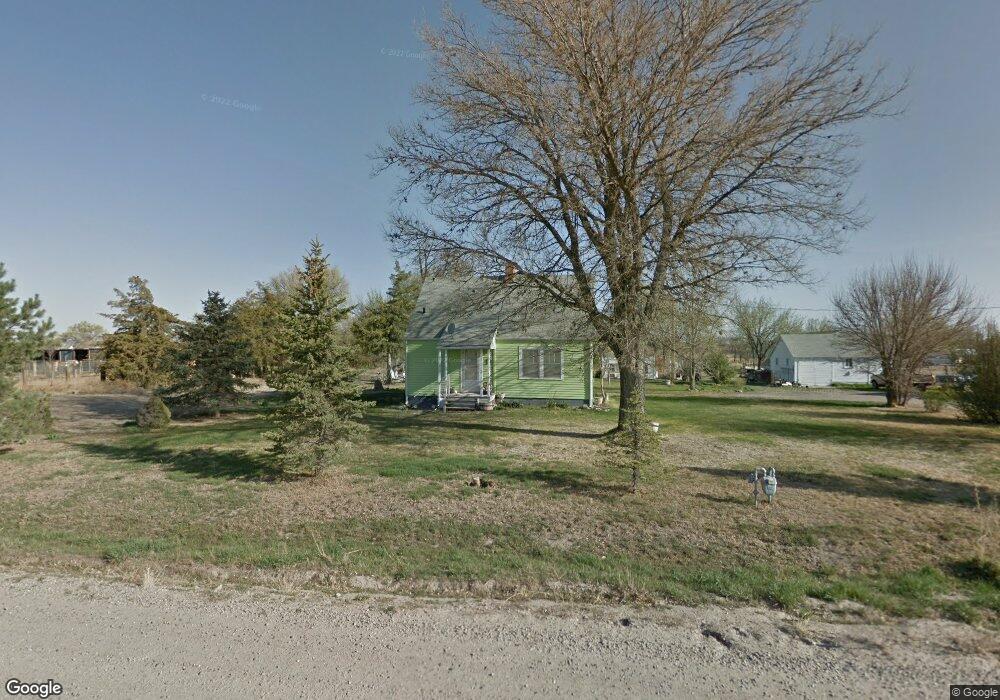
180226 Farmstead Rd Scottsbluff, NE 69361
Scottsbluff AreaEstimated Value: $143,142 - $219,000
About This Home
This home is located at 180226 Farmstead Rd, Scottsbluff, NE 69361 and is currently estimated at $185,381, approximately $187 per square foot. 180226 Farmstead Rd is a home located in Scotts Bluff County with nearby schools including Lincoln Heights Elementary School, Bluffs Middle School, and Scottsbluff Senior High School.
Ownership History
We collect this data history from publicly available records. To have your information removed, we recommend requesting removal directly through your county’s website.
Purchase Details
Purchase Details
Purchase History
We collect this data history from publicly available records. To have your information removed, we recommend requesting removal directly through your county’s website.
| Date | Buyer | Sale Price | Title Company |
|---|---|---|---|
| -- | None Listed On Document | ||
| -- | None Available |
Mortgage History
We collect this data history from publicly available records. To have your information removed, we recommend requesting removal directly through your county’s website.
| Date | Status | Borrower | Loan Amount |
|---|---|---|---|
| Open | $124,000 |
Tax History
We collect this data history from publicly available records. To have your information removed, we recommend requesting removal directly through your county’s website.
| Year | Tax Paid | Tax Assessment Tax Assessment Total Assessment is a certain percentage of the fair market value that is determined by local assessors to be the total taxable value of land and additions on the property. | Land | Improvement |
|---|---|---|---|---|
| 2025 | $1,290 | $120,920 | $28,080 | $92,840 |
| 2024 | $1,265 | $114,045 | $28,080 | $85,965 |
| 2023 | $20 | $90,441 | $18,050 | $72,391 |
| 2022 | $20 | $90,441 | $18,050 | $72,391 |
| 2021 | $37 | $85,764 | $18,050 | $67,714 |
| 2020 | $37 | $79,690 | $18,050 | $61,640 |
| 2019 | $66 | $57,735 | $18,762 | $38,973 |
| 2018 | $1,063 | $55,879 | $18,762 | $37,117 |
| 2017 | $1,027 | $53,837 | $18,762 | $35,075 |
| 2016 | $79 | $52,846 | $18,762 | $34,084 |
| 2015 | $76 | $51,853 | $18,762 | $33,091 |
| 2014 | $78 | $48,573 | $18,762 | $29,811 |
| 2012 | -- | $47,705 | $18,762 | $28,943 |
Map
- 4218 Apple Ave
- 2410 Country Ln
- 2902 W 35th St
- 2307 W 42nd St Unit 46
- 5502 Oriole Dr
- 60043 Mccain Rd
- 1012 W 36th St
- 711 Monument Cir
- TBD W 36th St
- 0 W 36th St Unit 20254154
- 50729 County Road 19
- 20 Bluestem
- 2809 Avenue I
- Legacy Feeders Unit LLC
- 2009 Avenue N
- 1720 Avenue O
- 2905 Avenue C
- 1426 Avenue P
- 3405 Ross Ave
- 1509 Avenue O
- 180152 Farmstead Rd
- 180244 Farmstead Rd
- 180300 Farmstead Rd
- 80169 Abner St
- 180238 Farmstead Rd
- 80152 Abner St
- 180336 Farmstead Rd
- 80085 Abner St
- 80536 County Road 19
- 180344 Farmstead Rd
- 80084 Abner St
- 180023 Beaver Dr
- 80019 Abner St
- 180046 Beaver Dr
- 80620 County Road 19
- 80378 North St
- 80024 Abner St
- 80670 County Road 19
- 80245 North St
- 80349 County Road 19
Ask me questions while you tour the home.