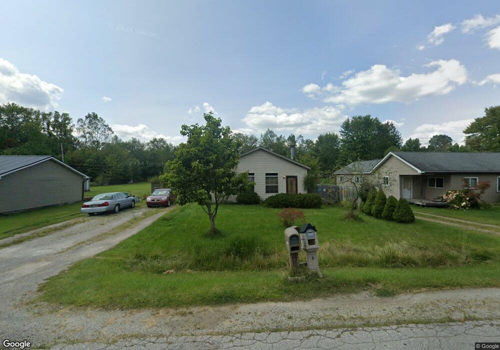
1805 Marlette Rd Kimball, MI 48074
Estimated Value: $180,000 - $258,000
About This Home
This home is located at 1805 Marlette Rd, Kimball, MI 48074 and is currently estimated at $228,333, approximately $122 per square foot. 1805 Marlette Rd is a home located in St. Clair County with nearby schools including Kimball Elementary School, Central Middle School, and Port Huron High School.
Ownership History
We collect this data history from publicly available records. To have your information removed, we recommend requesting removal directly through your county’s website.
Purchase Details
Home Financials for this Owner
Home Financials are based on the most recent Mortgage that was taken out on this home.Purchase Details
Purchase Details
Home Values in the Area
Average Home Value in this Area
Purchase History
We collect this data history from publicly available records. To have your information removed, we recommend requesting removal directly through your county’s website.
| Date | Buyer | Sale Price | Title Company |
|---|---|---|---|
| $125,385 | None Available | ||
| $25,000 | None Available | ||
| -- | None Available |
Mortgage History
We collect this data history from publicly available records. To have your information removed, we recommend requesting removal directly through your county’s website.
| Date | Status | Borrower | Loan Amount |
|---|---|---|---|
| Open | $129,412 |
Tax History
We collect this data history from publicly available records. To have your information removed, we recommend requesting removal directly through your county’s website.
| Year | Tax Paid | Tax Assessment Tax Assessment Total Assessment is a certain percentage of the fair market value that is determined by local assessors to be the total taxable value of land and additions on the property. | Land | Improvement |
|---|---|---|---|---|
| 2025 | $678 | $125,100 | $0 | $0 |
| 2024 | $622 | $114,000 | $0 | $0 |
| 2023 | $569 | $112,200 | $0 | $0 |
| 2022 | $1,074 | $92,800 | $0 | $0 |
| 2020 | $1,002 | $71,700 | $71,700 | $0 |
| 2019 | $988 | $72,700 | $0 | $0 |
| 2018 | $948 | $35,700 | $0 | $0 |
| 2017 | $988 | $40,600 | $0 | $0 |
| 2016 | $504 | $40,600 | $0 | $0 |
| 2015 | -- | $36,000 | $36,000 | $0 |
| 2014 | -- | $50,000 | $50,000 | $0 |
| 2013 | -- | $63,200 | $0 | $0 |
Map
- 4654 Davidson Rd
- 1918 Harvey Rd
- 1908 Range Rd
- V/L Allen
- 1405 Range Rd
- 0000 Range Rd
- 00 Range Rd
- 1782 Maple Rd
- 4602 Howard Rd
- 5080 Dove Rd
- 0 Allen Rd Unit 20250008612
- 0 Wall Rd Unit 50185999
- 4118 Griswold Rd
- 2482 Range Rd
- 4761 Lapeer Rd
- 0 Lapeer Rd Unit 50137357
- 0 Range Vl Rd
- 2189 Michigan Rd
- 2165 Michigan Rd
- 269 Westbrook Ct
- 1815 Marlette Rd
- 1827 Marlette Rd
- 1801 Marlette Rd
- 1795 Marlette Rd
- 1806 Marlette Rd
- 1800 Marlette Rd
- 1789 Marlette Rd
- 1835 Marlette Rd
- 1816 Marlette Rd
- 1836 Marlette Rd
- 1790 Marlette Rd
- 1845 Marlette Rd
- 1785 Marlette Rd
- 1844 Marlette Rd
- 1779 Marlette Rd
- 1849 Marlette Rd
- 4715 Davidson Rd
- 4696 Davidson Rd
- 4707 Davidson Rd
- 1850 Marlette Rd
Ask me questions while you tour the home.