1806 E Cedar St Rawlins, WY 82301
Studio
--
Bath
11,800
Sq Ft
1.08
Acres Lot
About This Home
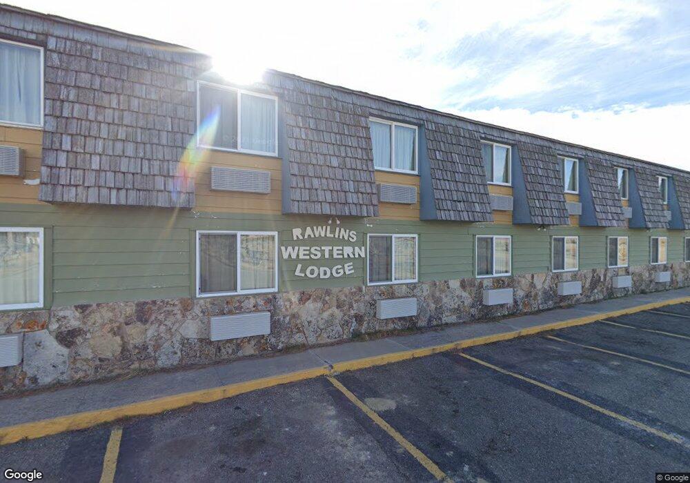
This home is located at 1806 E Cedar St, Rawlins, WY 82301. 1806 E Cedar St is a home located in Carbon County with nearby schools including Rawlins Elementary School, Rawlins Middle School, and Rawlins High School.
Ownership History
Date
Name
Owned For
Owner Type
Purchase Details
Closed on
Oct 26, 2012
Sold by
Lee Lester H and Lee Helen E
Bought by
Rr The Key Llc
Home Financials for this Owner
Home Financials are based on the most recent Mortgage that was taken out on this home.
Original Mortgage
$370,000
Interest Rate
3.59%
Mortgage Type
Seller Take Back
Create a Home Valuation Report for This Property
The Home Valuation Report is an in-depth analysis detailing your home's value as well as a comparison with similar homes in the area
Purchase History
We collect this data history from publicly available records. To have your information removed, we recommend requesting removal directly through your county’s website.
| Date | Buyer | Sale Price | Title Company |
|---|---|---|---|
| Rr The Key Llc | -- | Summit Title Services |
Source: Public Records
Mortgage History
We collect this data history from publicly available records. To have your information removed, we recommend requesting removal directly through your county’s website.
| Date | Status | Borrower | Loan Amount |
|---|---|---|---|
| Closed | Rr The Key Llc | $370,000 |
Source: Public Records
Tax History
| Year | Tax Paid | Tax Assessment Tax Assessment Total Assessment is a certain percentage of the fair market value that is determined by local assessors to be the total taxable value of land and additions on the property. | Land | Improvement |
|---|---|---|---|---|
| 2025 | $3,327 | $46,057 | $9,868 | $36,189 |
| 2024 | $33 | $46,084 | $9,868 | $36,216 |
| 2023 | $3,363 | $46,582 | $8,954 | $37,628 |
| 2022 | $2,754 | $37,624 | $5,814 | $31,810 |
| 2021 | $2,754 | $33,306 | $5,814 | $27,492 |
| 2020 | $2,350 | $64,996 | $11,628 | $53,368 |
| 2019 | $2,337 | $32,500 | $5,814 | $26,686 |
| 2018 | $2,268 | $31,027 | $5,814 | $25,213 |
| 2017 | $2,231 | $30,693 | $5,814 | $24,879 |
| 2016 | $2,144 | $29,492 | $5,814 | $23,678 |
| 2015 | -- | $29,263 | $5,814 | $23,449 |
| 2014 | -- | $29,063 | $5,814 | $23,249 |
Source: Public Records
Map
Nearby Homes
- TBD Highway 287
- 821 Ash St
- 609 Olive Cir
- 805 Apple St
- 460 Airport Rd
- 1425 Murray #116 St
- 711 Olive Cir
- 510 Rodeo Ct
- 725 E State St
- 508 Rodeo Ct
- Tract 1 Blk 2 Monroe St
- Tract 3 Blk 1 Monroe St
- PT NW 1/4 Sec Monroe St
- 0 Mobile Only Unit 20260953
- 504 Rodeo St
- 506 Rodeo St
- 205 E State St
- 120 E Water St
- 1822 MacTavish Unit 4 Ct
- 221 E Pine St
- 1712 E Cedar St
- 1906 E Cedar St
- 2100 E Cedar St
- 1811 Mahoney St
- 1812 Daley St
- 0 McIlvaine St Unit 20251325
- 0 Highway 287
- 1999-A Highway 287
- 319 Elk Ct
- 319 Elk Ct Unit Harshman
- 1122 Elk Ct
- 310 Elk Ct
- 316 Elk Ct
- 322 Elk Ct
- 330 Elk Ct
- 305 Harshman St
- 309 Harshman St
- 321 Harshman St
- 315 Harshman St
- 2217 Mahoney St
Your Personal Tour Guide
Ask me questions while you tour the home.