1806 Sansdan Ct Painesville, OH 44077
Estimated Value: $301,000 - $345,000
4
Beds
3
Baths
1,143
Sq Ft
$278/Sq Ft
Est. Value
About This Home
This home is located at 1806 Sansdan Ct, Painesville, OH 44077 and is currently estimated at $318,028, approximately $278 per square foot. 1806 Sansdan Ct is a home located in Lake County with nearby schools including Henry F. Lamuth Middle School, Riverside Junior/Senior High School, and Summit Academy Community School - Painesville.
Ownership History
Date
Name
Owned For
Owner Type
Purchase Details
Closed on
Jun 29, 2006
Sold by
Bogert John L and Bogert Melanie
Bought by
Hart Shawn C and Hart Kelly A
Current Estimated Value
Home Financials for this Owner
Home Financials are based on the most recent Mortgage that was taken out on this home.
Original Mortgage
$217,565
Outstanding Balance
$126,987
Interest Rate
6.73%
Mortgage Type
FHA
Estimated Equity
$191,041
Purchase Details
Closed on
Dec 14, 1998
Sold by
Tresger Construction Co
Bought by
Bogert John L and Bogert Melanie
Home Financials for this Owner
Home Financials are based on the most recent Mortgage that was taken out on this home.
Original Mortgage
$148,950
Interest Rate
6.93%
Create a Home Valuation Report for This Property
The Home Valuation Report is an in-depth analysis detailing your home's value as well as a comparison with similar homes in the area
Home Values in the Area
Average Home Value in this Area
Purchase History
| Date | Buyer | Sale Price | Title Company |
|---|---|---|---|
| Hart Shawn C | $221,000 | Enterprise Title | |
| Bogert John L | $186,200 | Continental Title Agency Cor | |
| Tresger Construction Co | -- | Continental Title Agency Cor |
Source: Public Records
Mortgage History
| Date | Status | Borrower | Loan Amount |
|---|---|---|---|
| Open | Hart Shawn C | $217,565 | |
| Previous Owner | Bogert John L | $148,950 |
Source: Public Records
Tax History
| Year | Tax Paid | Tax Assessment Tax Assessment Total Assessment is a certain percentage of the fair market value that is determined by local assessors to be the total taxable value of land and additions on the property. | Land | Improvement |
|---|---|---|---|---|
| 2025 | -- | $102,650 | $24,080 | $78,570 |
| 2024 | -- | $102,650 | $24,080 | $78,570 |
| 2023 | $8,595 | $78,870 | $19,230 | $59,640 |
| 2022 | $5,330 | $78,870 | $19,230 | $59,640 |
| 2021 | $5,340 | $78,870 | $19,230 | $59,640 |
| 2020 | $4,969 | $68,580 | $16,720 | $51,860 |
| 2019 | $5,331 | $68,580 | $16,720 | $51,860 |
| 2018 | $5,205 | $64,700 | $12,400 | $52,300 |
| 2017 | $4,653 | $64,700 | $12,400 | $52,300 |
| 2016 | $4,701 | $64,700 | $12,400 | $52,300 |
| 2015 | $3,703 | $64,700 | $12,400 | $52,300 |
| 2014 | $3,764 | $64,700 | $12,400 | $52,300 |
| 2013 | $3,678 | $64,700 | $12,400 | $52,300 |
Source: Public Records
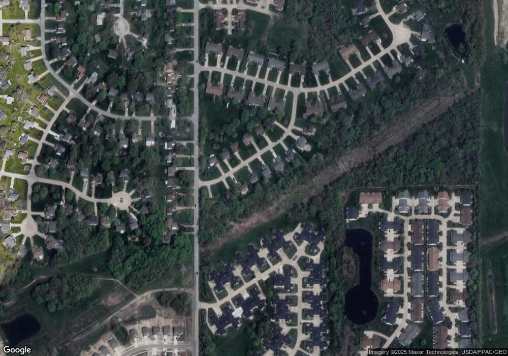
Map
Nearby Homes
- 2041 Marsh Ln Unit 2041
- 1865 Marsh Ln Unit 1865
- 983 Tradewinds Cove Unit 4A
- 972 Tradewinds Cove Unit 5D
- 783 Outrigger Cove
- 594 Prestwick Path
- 1598 Bogie Ln
- 592 Sand Trap Cir
- 1175 Vista Lago Cir
- 399 Sandtrap Cir
- 4 Lyndale Dr
- 27 Kenilworth Ave
- 909 Lake Terrace Dr
- 903 Oakwood Blvd
- 0 Fremont Ave Unit 5152717
- 0 Bellevue Ave Unit 5152736
- 856 Beech Ave
- 575 Park Rd
- 4300 Florida St
- 2990 Narrows Rd
- 1814 Sansdan Ct
- 1802 Sansdan Ct
- 1824 Sansdan Ct
- 1790 Sansdan Ct
- 1799 Sansdan Ct
- 1795 Sansdan Ct
- 1826 Sansdan Ct
- 1780 Sansdan Ct
- 1781 Sansdan Ct
- 1803 Sansdan Ct
- 1811 Sansdan Ct
- 2012 Marsh Ln Unit 2012
- 1821 Sansdan Ct
- 2020 Marsh Ln Unit 2020
- 1830 Sansdan Ct
- 2014 Marsh Ln Unit 2014
- 2016 Marsh Ln Unit 2016
- 2000 Marsh Ln Unit 2000
- 2010 Marsh Ln Unit 2010
- 2032 Marsh Ln Unit 2032
Your Personal Tour Guide
Ask me questions while you tour the home.