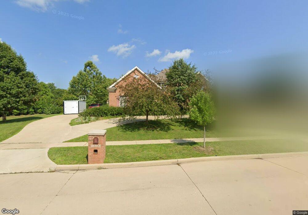
1808 Mullikin Dr Champaign, IL 61822
Estimated Value: $761,872 - $849,000
About This Home
This home is located at 1808 Mullikin Dr, Champaign, IL 61822 and is currently estimated at $801,968, approximately $169 per square foot. 1808 Mullikin Dr is a home located in Champaign County with nearby schools including Centennial High School, Countryside School, and Swann Special Care Center-Elem/Secondary School.
Ownership History
We collect this data history from publicly available records. To have your information removed, we recommend requesting removal directly through your county’s website.
Purchase Details
Home Financials for this Owner
Home Financials are based on the most recent Mortgage that was taken out on this home.Purchase History
We collect this data history from publicly available records. To have your information removed, we recommend requesting removal directly through your county’s website.
| Date | Buyer | Sale Price | Title Company |
|---|---|---|---|
| $494,000 | Allied |
Mortgage History
We collect this data history from publicly available records. To have your information removed, we recommend requesting removal directly through your county’s website.
| Date | Status | Borrower | Loan Amount |
|---|---|---|---|
| Open | $359,650 | ||
| Closed | $84,202 |
Tax History
We collect this data history from publicly available records. To have your information removed, we recommend requesting removal directly through your county’s website.
| Year | Tax Paid | Tax Assessment Tax Assessment Total Assessment is a certain percentage of the fair market value that is determined by local assessors to be the total taxable value of land and additions on the property. | Land | Improvement |
|---|---|---|---|---|
| 2025 | $16,292 | $214,650 | $48,560 | $166,090 |
| 2024 | $15,514 | $190,630 | $43,130 | $147,500 |
| 2023 | $15,514 | $176,020 | $39,820 | $136,200 |
| 2022 | $14,751 | $164,200 | $37,150 | $127,050 |
| 2021 | $14,403 | $161,290 | $36,490 | $124,800 |
| 2020 | $14,270 | $159,690 | $36,130 | $123,560 |
| 2019 | $13,847 | $157,020 | $35,530 | $121,490 |
| 2018 | $13,825 | $157,020 | $35,530 | $121,490 |
| 2017 | $13,547 | $153,820 | $35,530 | $118,290 |
| 2016 | $12,417 | $153,820 | $35,530 | $118,290 |
| 2015 | $12,724 | $153,820 | $35,530 | $118,290 |
| 2014 | $12,456 | $153,820 | $35,530 | $118,290 |
| 2013 | $12,347 | $153,820 | $35,530 | $118,290 |
Map
- 1805 Mullikin Dr
- 1809 Mullikin Dr
- 4412 Brittany Trail Dr
- 1818 Benodot St
- 1821 Benodot St
- 1808 Vale St
- 4705 Sandcherry Dr
- 4706 Chestnut Grove Dr
- 4808 Westborough Dr
- 4905 Peifer Ln
- 4406 Crossgate Dr
- 4402 Crossgate Dr
- 1808 Foxborough Ct
- 1607 Chestnut Grove Ct
- 4703 W Kirby Ave
- 4705 Stonebridge Dr
- 4309 Crossgate Dr
- 2208 Mullikin Dr
- 1614 English Oak Dr
- 4714 Watermark Dr
- 1806 Mullikin Dr
- 4504 Brittany Trail Dr
- 4503 Southford Trace Dr
- 1807 Mullikin Dr
- 4501 Southford Trace Dr
- 1804 Mullikin Dr
- 4602 Brittany Trail Dr
- 1803 Mullikin Dr
- 4505 Southford Trace Dr
- 4503 Brittany Trail Dr
- 1802 Mullikin Dr
- 4417 Southford Trace Dr
- 4604 Brittany Trail Dr
- 1801 Mullikin Dr
- 1810 Benodot St
- 1812 Benodot St
- 4601 Brittany Trail Dr
- 1808 Benodot St
- 1814 Benodot St
- 1806 Benodot St
Ask me questions while you tour the home.