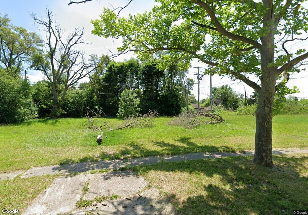
1809 Canniff St Flint, MI 48504
Bel-Aire Woods NeighborhoodEstimated Value: $44,000 - $222,000
About This Home
This home is located at 1809 Canniff St, Flint, MI 48504 and is currently estimated at $113,333, approximately $86 per square foot. 1809 Canniff St is a home located in Genesee County with nearby schools including Brownell STEM Academy, The New Standard Academy, and Eagle's Nest Academy.
Ownership History
We collect this data history from publicly available records. To have your information removed, we recommend requesting removal directly through your county’s website.
Purchase Details
Purchase Details
Purchase Details
Purchase Details
Purchase Details
Purchase Details
Home Values in the Area
Average Home Value in this Area
Purchase History
We collect this data history from publicly available records. To have your information removed, we recommend requesting removal directly through your county’s website.
| Date | Buyer | Sale Price | Title Company |
|---|---|---|---|
| -- | None Available | ||
| -- | None Available | ||
| -- | None Available | ||
| -- | None Available | ||
| -- | Cislo Title Co | ||
| -- | None Available |
Tax History
We collect this data history from publicly available records. To have your information removed, we recommend requesting removal directly through your county’s website.
| Year | Tax Paid | Tax Assessment Tax Assessment Total Assessment is a certain percentage of the fair market value that is determined by local assessors to be the total taxable value of land and additions on the property. | Land | Improvement |
|---|---|---|---|---|
| 2025 | -- | $0 | $0 | $0 |
| 2024 | -- | $0 | $0 | $0 |
| 2023 | -- | $0 | $0 | $0 |
| 2022 | $0 | $0 | $0 | $0 |
| 2021 | $0 | $0 | $0 | $0 |
| 2020 | $0 | $0 | $0 | $0 |
| 2019 | $0 | $0 | $0 | $0 |
| 2018 | $0 | $0 | $0 | $0 |
| 2017 | $0 | $0 | $0 | $0 |
| 2016 | $0 | $0 | $0 | $0 |
| 2015 | -- | $0 | $0 | $0 |
| 2014 | -- | $0 | $0 | $0 |
| 2012 | -- | $4,900 | $0 | $0 |
Map
- 2013 Canniff St
- 4911 Birchcrest Dr
- 5106 Cloverlawn Dr
- 2320 Canniff St
- 4701 Birchcrest Dr
- 1913 Basil Ln
- 4110 Leerda St
- 5413 Fleming Rd
- 1720 Marlowe Dr
- 5215 Susan St
- 5309 Marja St
- 3918 Trumbull Ave
- 4816 Glenn Ave
- 3921 Kellar Ave
- 5616 Griggs Dr
- 5620 Marlowe Dr
- 5502 Susan St
- 4808 Edwards Ave
- 3710 Kellar Ave
- 3722 Sterling St
- 4621 Warrington Dr
- 4613 Warrington Dr
- 1805 Canniff St
- 4607 Warrington Dr
- 4630 Warrington Dr
- 1806 Canniff St
- 1910 Santa Barbara Dr
- 1901 Canniff St
- 1902 Santa Barbara Dr
- 4707 Warrington Dr
- 1914 Santa Barbara Dr
- 1902 Canniff St
- 4622 Warrington Dr
- 4618 Warrington Dr
- 1907 Canniff St
- 4614 Warrington Dr
- 1918 Santa Barbara Dr
- 4711 Warrington Dr
- 4610 Warrington Dr
- 1908 Canniff St
Ask me questions while you tour the home.