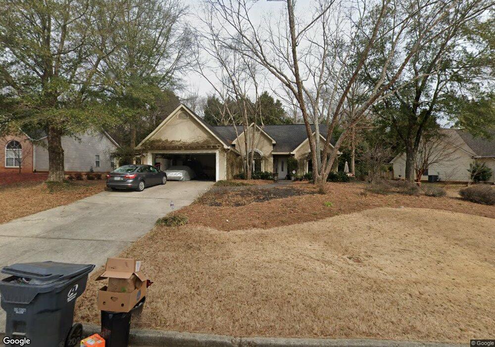
181 Marston Dr Unit 1 Suwanee, GA 30024
Lawrenceville AreaEstimated Value: $364,894 - $400,000
About This Home
This home is located at 181 Marston Dr Unit 1, Suwanee, GA 30024 and is currently estimated at $388,474, approximately $234 per square foot. 181 Marston Dr Unit 1 is a home located in Gwinnett County with nearby schools including Walnut Grove Elementary School, Creekland Middle School, and Collins Hill High School.
Ownership History
We collect this data history from publicly available records. To have your information removed, we recommend requesting removal directly through your county’s website.
Purchase Details
Home Financials for this Owner
Home Financials are based on the most recent Mortgage that was taken out on this home.Home Values in the Area
Average Home Value in this Area
Purchase History
We collect this data history from publicly available records. To have your information removed, we recommend requesting removal directly through your county’s website.
| Date | Buyer | Sale Price | Title Company |
|---|---|---|---|
| -- | -- |
Mortgage History
We collect this data history from publicly available records. To have your information removed, we recommend requesting removal directly through your county’s website.
| Date | Status | Borrower | Loan Amount |
|---|---|---|---|
| Open | $143,865 | ||
| Closed | $170,000 | ||
| Closed | $33,400 | ||
| Closed | $50,000 |
Tax History
We collect this data history from publicly available records. To have your information removed, we recommend requesting removal directly through your county’s website.
| Year | Tax Paid | Tax Assessment Tax Assessment Total Assessment is a certain percentage of the fair market value that is determined by local assessors to be the total taxable value of land and additions on the property. | Land | Improvement |
|---|---|---|---|---|
| 2025 | $3,730 | $136,320 | $26,320 | $110,000 |
| 2024 | $3,890 | $138,160 | $33,600 | $104,560 |
| 2023 | $3,890 | $130,040 | $33,600 | $96,440 |
| 2022 | $3,269 | $109,840 | $29,200 | $80,640 |
| 2021 | $2,656 | $78,720 | $20,200 | $58,520 |
| 2020 | $2,673 | $78,720 | $20,200 | $58,520 |
| 2019 | $2,599 | $78,720 | $20,200 | $58,520 |
| 2018 | $2,568 | $77,280 | $17,200 | $60,080 |
| 2016 | $2,285 | $63,240 | $14,440 | $48,800 |
| 2015 | $2,094 | $55,000 | $12,400 | $42,600 |
| 2014 | $2,104 | $55,000 | $12,400 | $42,600 |
Map
- 2130 Saint Thomas Way
- 2121 Little River Dr
- 2164 Cape Liberty Dr
- 2330 Cape Courage Way
- 2150 Laurel Lake Dr
- 2332 Merrymount Dr
- 2382 Merrymount Dr Unit 2
- 1985 Tyler Trace
- 2115 Wildwood Lake Dr
- 101 Fernwood Ct Unit 3
- 2050 Wildcat Cliffs Way
- 2390 Walnut Grove Way
- 2035 Wildcat Cliffs Way Unit 1
- 2084 York River Way
- 105 Prestwyck Oak Place
- 1820 Stone Forest Dr
- 1832 Shores Ridge Ct
- 2285 Shore View Way Unit 2
- 291 Shore Dr
- 2315 Shore View Way
- 191 Marston Dr
- 171 Marston Dr
- 154 Saint Georges Ct
- 201 Marston Dr Unit 1
- 164 Saint Georges Ct
- 161 Marston Dr
- 144 Saint Georges Ct
- 182 Marston Dr
- 172 Marston Dr
- 192 Marston Dr
- 202 Marston Dr Unit 1
- 211 Marston Dr
- 162 Marston Dr Unit 1
- 174 Saint Georges Ct Unit 1
- 174 Saint Georges Ct Unit 14
- 2140 Saint Thomas Way
- 2150 Saint Thomas Way Unit 1
- 212 Marston Dr
- 152 Marston Dr
- 2160 Saint Thomas Way
Ask me questions while you tour the home.