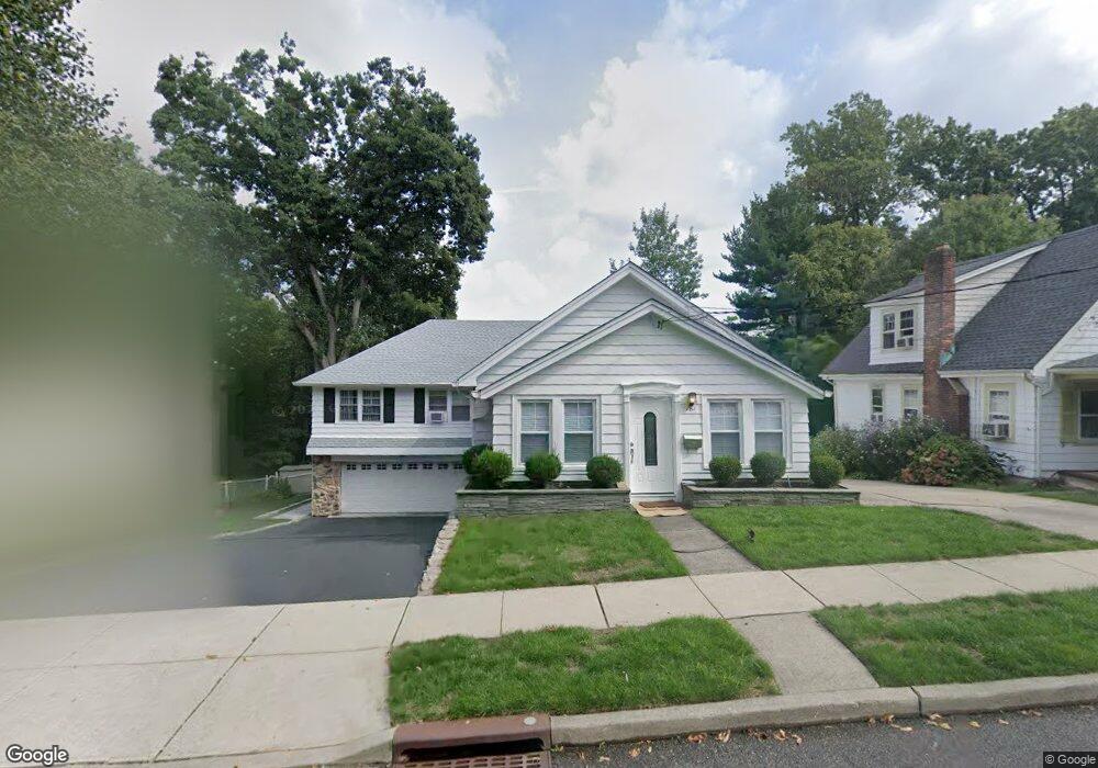
181 Mccosh Rd Montclair, NJ 07043
Montclair Heights NeighborhoodEstimated Value: $659,000 - $776,000
About This Home
This home is located at 181 Mccosh Rd, Montclair, NJ 07043 and is currently estimated at $707,993, approximately $364 per square foot. 181 Mccosh Rd is a home located in Passaic County with nearby schools including Clifton High School, The Magical Palace of Knowledge, and Saint Philip the Apostle Preparatory School.
Ownership History
We collect this data history from publicly available records. To have your information removed, we recommend requesting removal directly through your county’s website.
Purchase Details
Home Financials for this Owner
Home Financials are based on the most recent Mortgage that was taken out on this home.Home Values in the Area
Average Home Value in this Area
Purchase History
We collect this data history from publicly available records. To have your information removed, we recommend requesting removal directly through your county’s website.
| Date | Buyer | Sale Price | Title Company |
|---|---|---|---|
| $310,000 | -- |
Mortgage History
We collect this data history from publicly available records. To have your information removed, we recommend requesting removal directly through your county’s website.
| Date | Status | Borrower | Loan Amount |
|---|---|---|---|
| Open | $304,385 |
Tax History
We collect this data history from publicly available records. To have your information removed, we recommend requesting removal directly through your county’s website.
| Year | Tax Paid | Tax Assessment Tax Assessment Total Assessment is a certain percentage of the fair market value that is determined by local assessors to be the total taxable value of land and additions on the property. | Land | Improvement |
|---|---|---|---|---|
| 2025 | $11,706 | $197,200 | $118,400 | $78,800 |
| 2024 | $11,426 | $197,200 | $118,400 | $78,800 |
| 2022 | $11,260 | $197,200 | $118,400 | $78,800 |
| 2021 | $10,797 | $197,200 | $118,400 | $78,800 |
| 2020 | $10,832 | $197,200 | $118,400 | $78,800 |
| 2019 | $10,755 | $197,200 | $118,400 | $78,800 |
| 2018 | $10,694 | $197,200 | $118,400 | $78,800 |
| 2017 | $10,578 | $197,200 | $118,400 | $78,800 |
| 2016 | $10,373 | $197,200 | $118,400 | $78,800 |
| 2015 | $10,272 | $197,200 | $118,400 | $78,800 |
| 2014 | $10,061 | $197,200 | $118,400 | $78,800 |
Map
- 130 Pearl Brook Dr
- 110 Woodlawn Ave
- 5 Witherspoon Rd
- 257 Mccosh Rd
- 687 Grove St
- 28 Charles St
- 41 Pino Ct
- 31 MacOpin Ave
- 591 Highland Ave
- 125 Alexander Ave
- 129 Mount Hebron Rd
- 77 Macarthur Dr
- 530 Up Mountain Ave
- 526 Highland Ave
- 16 Lenape Trail
- 605 Grove St Unit 11
- 605 Grove St Unit 13
- 605 Grove St Unit 2
- 605 Grove St Unit K011
- 32 Brantwood Place
- 189 Mccosh Rd
- 200 Mccosh Rd
- 184 Mccosh Rd
- 177 Mccosh Rd
- 192 Mccosh Rd
- 199 Mccosh Rd
- 196 Mccosh Rd
- 171 Mccosh Rd
- 176 Mccosh Rd
- 120 Pearl Brook Dr
- 182 Mccosh Rd
- 112 Pearl Brook Dr
- 167 Mccosh Rd
- 204 Mccosh Rd
- 168 Mccosh Rd
- 163 Mccosh Rd
- 211 Mccosh Rd
- 136 Woodlawn Ave
- 115 Pearl Brook Dr
- 140 Pearl Brook Dr
Ask me questions while you tour the home.