181 Oakridge Rd Ardmore, OK 73401
Estimated Value: $315,000 - $437,000
2
Beds
2
Baths
1,867
Sq Ft
$193/Sq Ft
Est. Value
About This Home
This home is located at 181 Oakridge Rd, Ardmore, OK 73401 and is currently estimated at $360,015, approximately $192 per square foot. 181 Oakridge Rd is a home located in Carter County with nearby schools including Lone Grove Primary School, Lone Grove Intermediate School, and Lone Grove Middle School.
Ownership History
Date
Name
Owned For
Owner Type
Purchase Details
Closed on
Jul 27, 2012
Sold by
Burroughs Brannon R and Burroughs Erica
Bought by
Nitschmann Seth A and Nitschmann Carley A
Current Estimated Value
Home Financials for this Owner
Home Financials are based on the most recent Mortgage that was taken out on this home.
Original Mortgage
$175,000
Outstanding Balance
$121,086
Interest Rate
3.72%
Mortgage Type
New Conventional
Estimated Equity
$238,929
Purchase Details
Closed on
Jun 22, 2010
Sold by
Hines Dale
Bought by
Burroughs Brannon R and Burroughs E
Create a Home Valuation Report for This Property
The Home Valuation Report is an in-depth analysis detailing your home's value as well as a comparison with similar homes in the area
Home Values in the Area
Average Home Value in this Area
Purchase History
| Date | Buyer | Sale Price | Title Company |
|---|---|---|---|
| Nitschmann Seth A | $196,666 | None Available | |
| Burroughs Brannon R | $21,000 | -- |
Source: Public Records
Mortgage History
| Date | Status | Borrower | Loan Amount |
|---|---|---|---|
| Open | Nitschmann Seth A | $175,000 |
Source: Public Records
Tax History
| Year | Tax Paid | Tax Assessment Tax Assessment Total Assessment is a certain percentage of the fair market value that is determined by local assessors to be the total taxable value of land and additions on the property. | Land | Improvement |
|---|---|---|---|---|
| 2025 | $2,805 | $27,840 | $2,596 | $25,244 |
| 2024 | $2,731 | $27,030 | $2,520 | $24,510 |
| 2023 | $2,649 | $26,242 | $2,520 | $23,722 |
| 2022 | $2,612 | $26,242 | $2,520 | $23,722 |
| 2021 | $2,628 | $26,242 | $2,520 | $23,722 |
| 2020 | $2,603 | $26,149 | $2,520 | $23,629 |
| 2019 | $2,521 | $25,387 | $2,520 | $22,867 |
| 2018 | $2,554 | $25,466 | $2,520 | $22,946 |
| 2017 | $2,546 | $25,494 | $2,520 | $22,974 |
| 2016 | $2,597 | $26,044 | $2,520 | $23,524 |
| 2015 | $2,770 | $25,080 | $2,520 | $22,560 |
| 2014 | $2,686 | $24,349 | $2,520 | $21,829 |
Source: Public Records
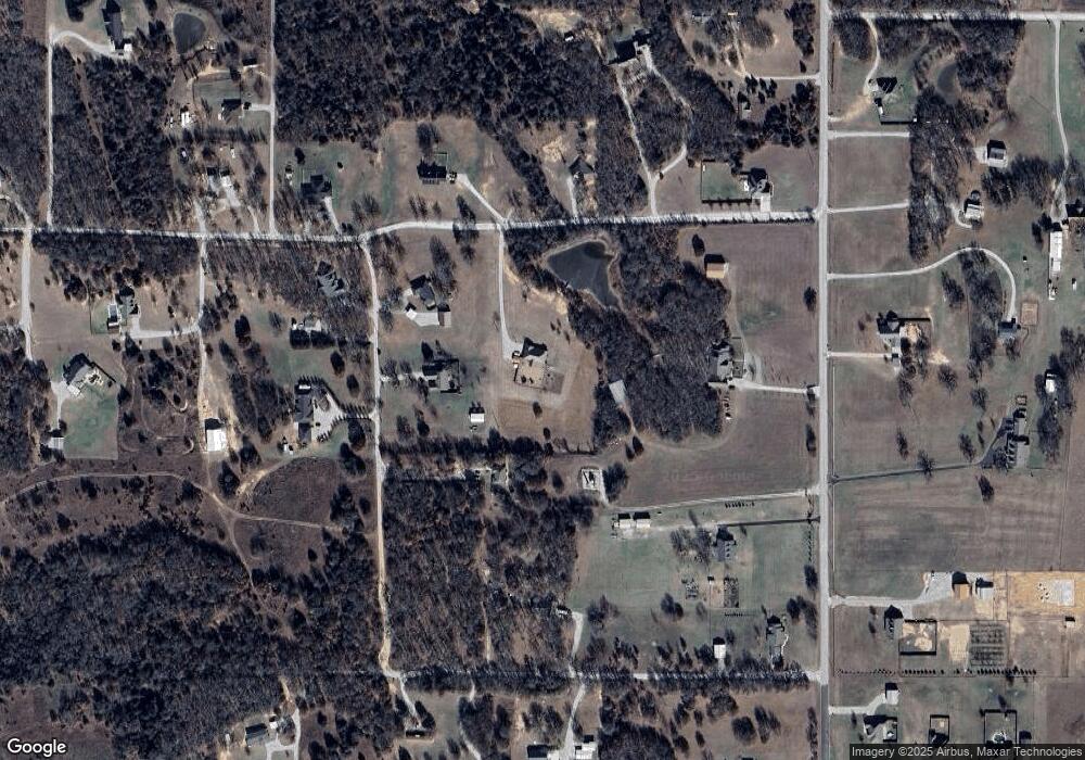
Map
Nearby Homes
- 147 Cool Shady Dr
- 5705 S Brock Rd
- 161 Chadwick Ln
- 1598 Meridian Rd
- 261 Chadwick Ln
- TBD Chadwick Ln
- 0000 Chadwick Ln
- 364 Howard St
- 0 Cheek Rd Unit 2608326
- 4377 Cheek
- 145 Cross Creek Cir
- 0 High Chaparal Dr Unit 2525272
- 1199 Newport Rd
- 319 Cross Creek Cir
- 7023 Myall Rd SW
- 0 Quail Ridge St
- 647 Durango St
- 1411 Newport Rd
- 273 Chestnut St
- 40 Whipperwill St
- 152 Southerland
- 114 Southerland
- 196 Southerland
- 3197 Meridian Rd
- 142 Oakridge Rd
- 186 Oakridge Rd
- 302 Oak Ridge St
- 302 Oak Ridge St
- 139 Southerland
- 139 Southerland
- 30 Oak Ridge St
- 3075 Meridian Rd
- 3075 S Meridian Ln
- 94 Oak Ridge St
- 94 Oak Ridge St
- 3351 S Meridian Rd
- 0 Herrell Ln Unit 29290
- 0 Herrell Ln Unit 33261
- Lot 23 Banshee
- 3220 Meridian Rd
Your Personal Tour Guide
Ask me questions while you tour the home.