181 Simpson Dr Litchfield, MI 49252
Estimated Value: $438,792
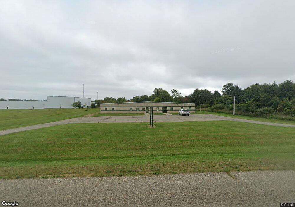
About This Home
This home is located at 181 Simpson Dr, Litchfield, MI 49252 and is currently estimated at $438,792, approximately $45 per square foot. 181 Simpson Dr is a home located in Hillsdale County with nearby schools including Litchfield Elementary School and Litchfield High School.
Ownership History
We collect this data history from publicly available records. To have your information removed, we recommend requesting removal directly through your county’s website.
Purchase Details
Purchase Details
Home Financials for this Owner
Home Financials are based on the most recent Mortgage that was taken out on this home.Purchase Details
Purchase History
We collect this data history from publicly available records. To have your information removed, we recommend requesting removal directly through your county’s website.
| Date | Buyer | Sale Price | Title Company |
|---|---|---|---|
| $225,000 | None Available | ||
| $135,900 | None Available | ||
| $10,000 | -- |
Mortgage History
We collect this data history from publicly available records. To have your information removed, we recommend requesting removal directly through your county’s website.
| Date | Status | Borrower | Loan Amount |
|---|---|---|---|
| Previous Owner | $115,000 |
Tax History
We collect this data history from publicly available records. To have your information removed, we recommend requesting removal directly through your county’s website.
| Year | Tax Paid | Tax Assessment Tax Assessment Total Assessment is a certain percentage of the fair market value that is determined by local assessors to be the total taxable value of land and additions on the property. | Land | Improvement |
|---|---|---|---|---|
| 2025 | -- | $84,540 | $11,750 | $72,790 |
| 2024 | -- | $75,888 | $10,250 | $65,638 |
| 2023 | -- | $75,371 | $10,000 | $65,371 |
| 2022 | $0 | $93,402 | $14,000 | $79,402 |
| 2021 | $0 | $111,476 | $14,000 | $97,476 |
| 2020 | $0 | $112,919 | $13,000 | $99,919 |
| 2019 | $0 | $111,794 | $10,500 | $101,294 |
| 2018 | $0 | $0 | $0 | $0 |
| 2017 | -- | $0 | $0 | $0 |
| 2016 | -- | $0 | $0 | $0 |
| 2015 | -- | $0 | $0 | $0 |
| 2013 | $1,854 | $90,000 | $0 | $0 |
| 2012 | $1,811 | $90,000 | $0 | $0 |
Map
- 410 S Chicago St
- 153 Marshall St
- 217 Birch St
- 225 W Birch St
- 6080 Herring Rd
- 0 W Mosherville Rd Unit 50214549
- 7509 Genesee Rd
- 10020 Hadley Rd
- 5260 W Litchfield Rd
- 12650 van Wert Rd
- 11850 Cook Rd
- 25500 U Dr S
- 121 Prentiss St
- 5651 W Chicago Rd
- V/L W Chicago Rd
- 500 23 Mile Rd
- 2752 W Mosherville Rd
- 2554 W Mosherville Rd
- 320 Jonesville Rd
- 1024 23 Mile Rd
- 7851 Herring Rd
- 7651 Herring Rd
- 1194 Clarendon Rd
- M-49 Anderson Rd
- 00 N Cronk Rd
- 928 Anderson Rd
- 8120 Herring Rd
- 8998 Anderson Rd
- 8980 Anderson Rd
- 917 Anderson Rd
- 0 Anderson Rd Unit 16047513
- 0 Anderson Rd Unit 4717880
- 0 Anderson Rd Unit 5418588
- 0 Anderson Rd Unit 5495686
- 0 Anderson Rd Unit 15040259
- 0 Anderson Rd Unit 62021014335
- 0 Anderson Rd Unit 53015040259
- 0 Anderson Rd Unit 53016016341
- 0 Anderson Rd Unit 21014335
- 0 Anderson Rd Unit 19048749
Ask me questions while you tour the home.