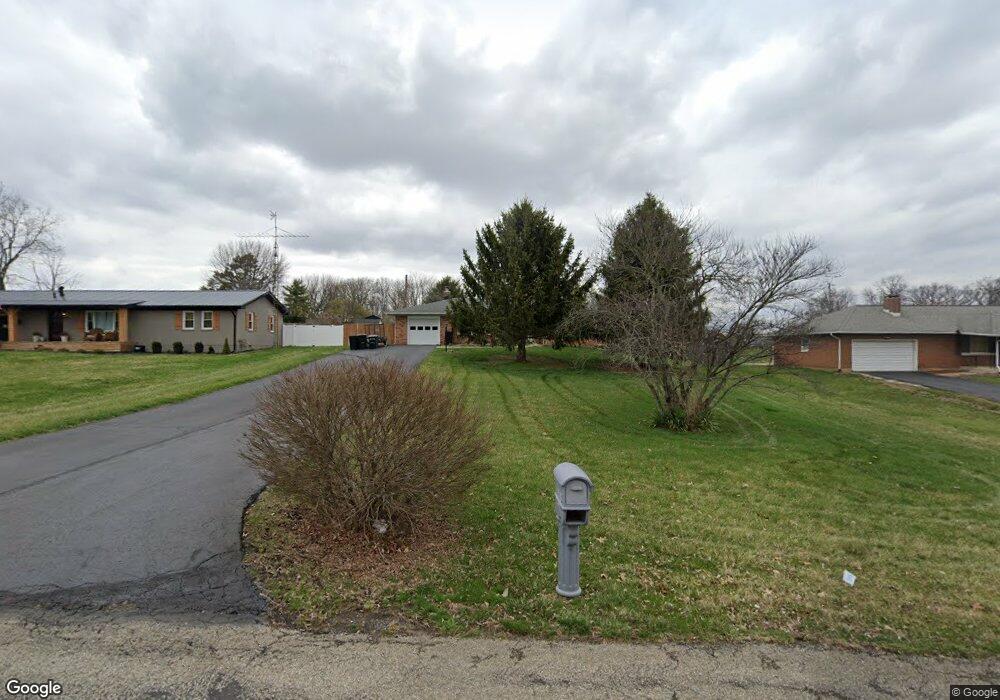
1810 Devon Dr Springfield, OH 45503
Springfield AreaEstimated Value: $216,000 - $250,000
About This Home
This home is located at 1810 Devon Dr, Springfield, OH 45503 and is currently estimated at $237,360, approximately $181 per square foot. 1810 Devon Dr is a home located in Clark County with nearby schools including Northridge Elementary School, Kenton Ridge Middle & High School, and Emmanuel Christian Academy.
Ownership History
We collect this data history from publicly available records. To have your information removed, we recommend requesting removal directly through your county’s website.
Purchase Details
Home Financials for this Owner
Home Financials are based on the most recent Mortgage that was taken out on this home.Home Values in the Area
Average Home Value in this Area
Purchase History
We collect this data history from publicly available records. To have your information removed, we recommend requesting removal directly through your county’s website.
| Date | Buyer | Sale Price | Title Company |
|---|---|---|---|
| $105,000 | Ohio Real Estate Title |
Mortgage History
We collect this data history from publicly available records. To have your information removed, we recommend requesting removal directly through your county’s website.
| Date | Status | Borrower | Loan Amount |
|---|---|---|---|
| Open | $91,575 | ||
| Closed | $91,575 | ||
| Previous Owner | $50,000 | ||
| Previous Owner | $35,000 |
Tax History
We collect this data history from publicly available records. To have your information removed, we recommend requesting removal directly through your county’s website.
| Year | Tax Paid | Tax Assessment Tax Assessment Total Assessment is a certain percentage of the fair market value that is determined by local assessors to be the total taxable value of land and additions on the property. | Land | Improvement |
|---|---|---|---|---|
| 2025 | $2,599 | $65,450 | $12,570 | $52,880 |
| 2024 | $2,513 | $59,430 | $11,030 | $48,400 |
| 2023 | $2,513 | $59,430 | $11,030 | $48,400 |
| 2022 | $2,523 | $59,430 | $11,030 | $48,400 |
| 2021 | $1,814 | $36,220 | $7,880 | $28,340 |
| 2020 | $1,815 | $36,220 | $7,880 | $28,340 |
| 2019 | $1,850 | $36,220 | $7,880 | $28,340 |
| 2018 | $1,950 | $36,610 | $7,480 | $29,130 |
| 2017 | $1,671 | $37,363 | $7,483 | $29,880 |
| 2016 | $1,660 | $37,363 | $7,483 | $29,880 |
| 2015 | $1,762 | $37,755 | $7,875 | $29,880 |
| 2014 | $1,351 | $37,755 | $7,875 | $29,880 |
| 2013 | $1,319 | $37,755 | $7,875 | $29,880 |
Map
- 1858 Devon Dr
- 1918 Devon Dr
- 2529 Marinette Dr
- 2943 Tarryton Ln
- 2011 Providence Ave
- 2136 E Home Rd
- 2442 Greystone Ln
- 3208 Tackett St
- 2606 Cavins Dr
- 2439 Greystone Ln
- 3215 Nantucket St
- 1628 Yorkshire Ct
- 1323 Greystone Dr
- 1315 Greystone Dr
- 2553 Derr Rd
- 2203 Miracle Mile
- 2020 Winding Trail
- 2014 Westboro Ave
- 1118 Robin Rd
- 2022 Westboro Ave
- 1801 Devon Dr
- 1830 Granada Dr
- 1819 Devon Dr
- 1800 Devon Dr
- 2509 Brookside Dr
- 1818 Devon Dr
- 1820 Granada Dr
- 0 Granada Dr
- 2505 Brookside Dr
- 1834 Devon Dr
- 1721 Thrawn Rd
- 1731 Thrawn Rd
- 1839 Granada Dr
- 1741 Thrawn Rd
- 1902 Granada Dr
- 1849 Granada Dr
- 2613 Marinette Dr
- 1827 Devon Dr
- 1914 Granada Dr
- 2555 Marinette Dr
Ask me questions while you tour the home.