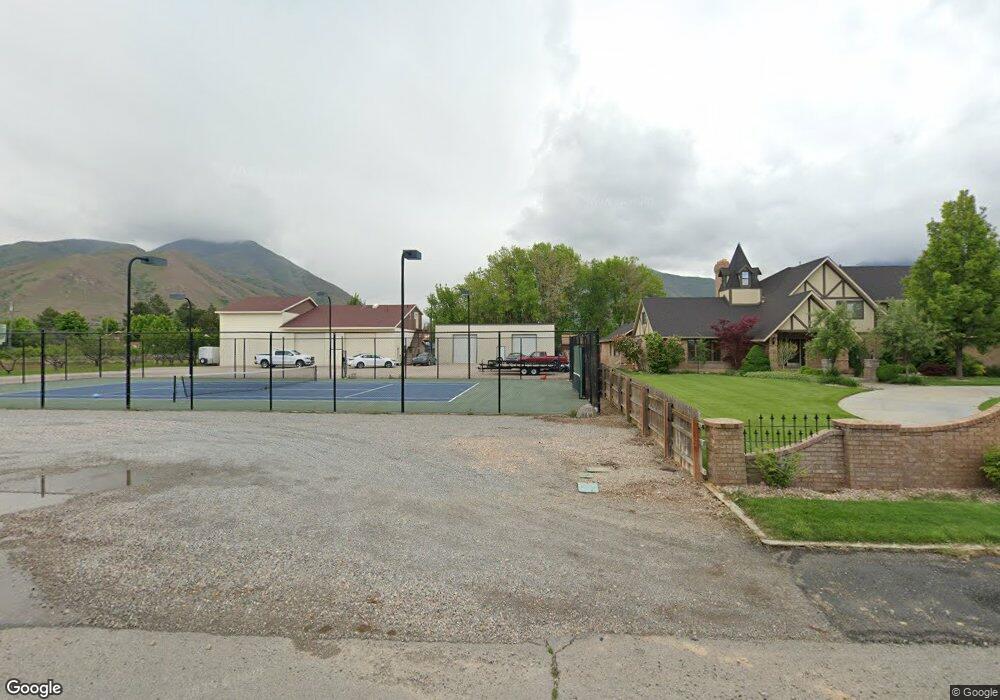
1810 N 300 W Unit A Mapleton, UT 84664
Estimated Value: $477,000 - $501,323
3
Beds
2
Baths
1,794
Sq Ft
$272/Sq Ft
Est. Value
About This Home
This home is located at 1810 N 300 W Unit A, Mapleton, UT 84664 and is currently estimated at $488,581, approximately $272 per square foot. 1810 N 300 W Unit A is a home located in Utah County with nearby schools including Hobble Creek School, Mapleton Junior High School, and Maple Mountain High School.
Ownership History
Date
Name
Owned For
Owner Type
Purchase Details
Closed on
Feb 11, 2026
Sold by
Dana Ransom
Bought by
Mead Stanley and Mead Kathy J
Current Estimated Value
Home Financials for this Owner
Home Financials are based on the most recent Mortgage that was taken out on this home.
Original Mortgage
$300,000
Outstanding Balance
$299,710
Interest Rate
6.16%
Mortgage Type
New Conventional
Estimated Equity
$188,871
Purchase Details
Closed on
Oct 17, 2025
Sold by
Craig And Dana Ransom Joint Living Trust and Ransom Dana
Bought by
Ransom Dana
Purchase Details
Closed on
Dec 10, 2021
Sold by
Mapleton Dignity Care Llc
Bought by
Craig Ransom And Dana Ransom Joint Living Tru
Purchase Details
Closed on
Jun 1, 2021
Sold by
Mapleton Dignty Care Llc
Bought by
Ransom Craig and Ransom Dana
Home Financials for this Owner
Home Financials are based on the most recent Mortgage that was taken out on this home.
Original Mortgage
$548,250
Interest Rate
2.9%
Mortgage Type
New Conventional
Create a Home Valuation Report for This Property
The Home Valuation Report is an in-depth analysis detailing your home's value as well as a comparison with similar homes in the area
Home Values in the Area
Average Home Value in this Area
Purchase History
| Date | Buyer | Sale Price | Title Company |
|---|---|---|---|
| Mead Stanley | -- | Atlas Title | |
| Ransom Dana | -- | Atlas Title | |
| Craig Ransom And Dana Ransom Joint Living Tru | -- | Vanguard Title | |
| Ransom Craig | -- | Vanguard Title Ins Agcy |
Source: Public Records
Mortgage History
| Date | Status | Borrower | Loan Amount |
|---|---|---|---|
| Open | Mead Stanley | $300,000 | |
| Previous Owner | Ransom Craig | $548,250 |
Source: Public Records
Tax History
| Year | Tax Paid | Tax Assessment Tax Assessment Total Assessment is a certain percentage of the fair market value that is determined by local assessors to be the total taxable value of land and additions on the property. | Land | Improvement |
|---|---|---|---|---|
| 2025 | $2,630 | $274,285 | -- | -- |
| 2024 | $2,630 | $257,620 | $0 | $0 |
| 2023 | $2,419 | $238,480 | $0 | $0 |
| 2022 | $3,047 | $297,000 | $0 | $0 |
| 2021 | $1,154 | $95,000 | $95,000 | $0 |
| 2020 | $1,193 | $95,000 | $95,000 | $0 |
Source: Public Records
Map
Nearby Homes
- 145 W Carnesecca Ct
- 1697 N 500 W
- 598 W 1600 N
- 1350 N Main St
- 1618 E 970 S
- 1264 E 1150 S
- 1518 E Pheasant Run Dr
- 1839 River Bottom Rd
- 1096 Valley Sage Dr
- 405 W 1200 N Unit 4
- 487 W 1200 N Unit 1
- 1092 Valley Sage Dr
- 1121 W 1800 N
- 1567 N 600 E Unit 26
- 949 S 1060 E
- 435 E 1000 N
- 667 N 550 W
- 829 S 2200 E
- 59 E 775 S Unit 21
- 52 E 775 S Unit 19
- 1810 N 300 W Unit D
- 1810 N 300 W Unit B
- 1810 N 300 W Unit C
- 1826 N 300 W
- 1768 N 300 W Unit C
- 1768 N 300 W Unit B
- 1768 N 300 W Unit D
- 1768 N 300 W Unit A
- 1767 N 300 W
- 1736 N 300 W Unit 5D
- 1736 N 300 W Unit 5C
- 1736 N 300 W Unit 5B
- 1736 N 300 W Unit 5A
- 1736 N 300 W Unit UB/L20
- 1736 N 300 W Unit UC/L19
- 1837 N 300 W
- 148 W Carnesecca Ct Unit 7
- 1696 N 300 W
- 1925 N 300 W
- 1944 N 300 W
Your Personal Tour Guide
Ask me questions while you tour the home.