1811 Dock Landing Rd Chesapeake, VA 23321
Western Branch NeighborhoodEstimated Value: $738,000 - $1,029,000
3
Beds
3
Baths
4,520
Sq Ft
$194/Sq Ft
Est. Value
About This Home
This home is located at 1811 Dock Landing Rd, Chesapeake, VA 23321 and is currently estimated at $876,793, approximately $193 per square foot. 1811 Dock Landing Rd is a home located in Chesapeake City with nearby schools including Edwin W. Chittum Elementary School, Jolliff Middle School, and Western Branch High School.
Ownership History
Date
Name
Owned For
Owner Type
Purchase Details
Closed on
Feb 3, 2026
Sold by
Gilbert Bailey
Bought by
Ray G Bailey Declaration Of Trust and Sheryl S Bailey Declaration Of Trust
Current Estimated Value
Create a Home Valuation Report for This Property
The Home Valuation Report is an in-depth analysis detailing your home's value as well as a comparison with similar homes in the area
Home Values in the Area
Average Home Value in this Area
Purchase History
We collect this data history from publicly available records. To have your information removed, we recommend requesting removal directly through your county’s website.
| Date | Buyer | Sale Price | Title Company |
|---|---|---|---|
| Ray G Bailey Declaration Of Trust | -- | None Listed On Document |
Source: Public Records
Tax History
| Year | Tax Paid | Tax Assessment Tax Assessment Total Assessment is a certain percentage of the fair market value that is determined by local assessors to be the total taxable value of land and additions on the property. | Land | Improvement |
|---|---|---|---|---|
| 2025 | $8,525 | $837,300 | $350,000 | $487,300 |
| 2024 | $8,525 | $844,100 | $350,000 | $494,100 |
| 2023 | $7,941 | $820,600 | $350,000 | $470,600 |
| 2022 | $8,092 | $801,200 | $349,000 | $452,200 |
| 2021 | $7,293 | $694,600 | $315,800 | $378,800 |
| 2020 | $7,163 | $682,200 | $315,800 | $366,400 |
| 2019 | $7,163 | $682,200 | $315,800 | $366,400 |
| 2018 | $7,163 | $682,200 | $315,800 | $366,400 |
| 2017 | $7,120 | $678,100 | $311,600 | $366,500 |
| 2016 | $6,936 | $660,600 | $311,600 | $349,000 |
| 2015 | $6,467 | $646,100 | $311,600 | $334,500 |
| 2014 | $6,784 | $646,100 | $311,600 | $334,500 |
Source: Public Records
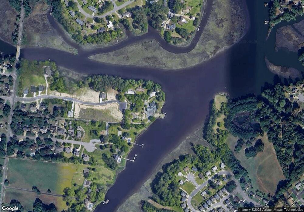
Map
Nearby Homes
- 3932 Colony Pointe Dr
- 4300 Center Mast Crest
- 3980 Port Rd
- 4120 Sloop Trail
- 4061 Holly Cove Dr
- 3860 Schooner Trail
- 3857 Schooner Trail
- 3924 Port Rd
- 4122 Riverside Dr
- 4106 Riverside Dr
- MM the Grove (Laurel)
- MM Myrtle II
- 3861 Ahoy Dr
- .2ac Airline Blvd
- 403 Holloway Dr
- 159 Yorkshire Rd
- 180 Yorkshire Rd
- 4020 River Breeze Cir
- 302 Chandler Harper Dr
- 304 Sarazen Dr
- 3800 Whites Landing
- 1800 Whites Landing Ct
- 1804 Whites Landing Ct
- 3808 Whites Landing
- 3813 Whites Landing
- 3900 Colony Pointe Dr
- 3812 Whites Landing
- 3817 Whites Landing
- 3816 White's Landing
- 3816 Whites Landing
- 3821 Whites Landing
- 1807 Dock Landing Rd
- 3901 Colony Pointe Dr
- 3824 Whites Landing
- 3828 Whites Landing
- 4308 Cutter Ct
- 4310 Cutter Ct
- 4309 Cutter Ct
- 4304 Cutter Ct
- 4304 Cutter Ct Unit A&B
Your Personal Tour Guide
Ask me questions while you tour the home.