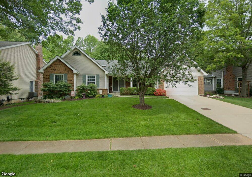
1811 Sullivan Pointe Dr Ballwin, MO 63011
Estimated Value: $474,422 - $526,000
3
Beds
3
Baths
2,050
Sq Ft
$247/Sq Ft
Est. Value
About This Home
This home is located at 1811 Sullivan Pointe Dr, Ballwin, MO 63011 and is currently estimated at $505,356, approximately $246 per square foot. 1811 Sullivan Pointe Dr is a home located in St. Louis County with nearby schools including Babler Elementary School, Rockwood Valley Middle School, and Lafayette High School.
Ownership History
Date
Name
Owned For
Owner Type
Purchase Details
Closed on
Apr 10, 2001
Sold by
Robert Maryas and Robert Gerry
Bought by
Maryas Robert and Maryas Gerry
Current Estimated Value
Create a Home Valuation Report for This Property
The Home Valuation Report is an in-depth analysis detailing your home's value as well as a comparison with similar homes in the area
Home Values in the Area
Average Home Value in this Area
Purchase History
| Date | Buyer | Sale Price | Title Company |
|---|---|---|---|
| Maryas Robert | -- | -- |
Source: Public Records
Tax History
| Year | Tax Paid | Tax Assessment Tax Assessment Total Assessment is a certain percentage of the fair market value that is determined by local assessors to be the total taxable value of land and additions on the property. | Land | Improvement |
|---|---|---|---|---|
| 2025 | $5,499 | $76,860 | $23,280 | $53,580 |
| 2024 | $5,499 | $79,080 | $20,900 | $58,180 |
| 2023 | $5,494 | $79,080 | $20,900 | $58,180 |
| 2022 | $5,120 | $68,440 | $13,950 | $54,490 |
| 2021 | $5,082 | $68,440 | $13,950 | $54,490 |
| 2020 | $5,274 | $67,720 | $13,950 | $53,770 |
| 2019 | $5,295 | $67,720 | $13,950 | $53,770 |
| 2018 | $4,875 | $58,790 | $13,950 | $44,840 |
| 2017 | $4,759 | $58,790 | $13,950 | $44,840 |
| 2016 | $4,788 | $56,890 | $13,950 | $42,940 |
Source: Public Records
Map
Nearby Homes
- 1839 Sullivan Pointe Dr
- 18024 Cider Mill Dr
- 583 McBride Pointe Dr
- 539 McBride Pointe Dr
- 2470 Indian Tree Cir
- 2112 Wildwood Meadows Ct
- 16403 Prestwick Place Ln
- 16404 Clayton Rd
- 16200 Wynncrest Ridge Ct
- 16354 Clayton Rd
- 16342 Clayton Rd
- 2209 Ridgley Woods Dr
- 1504 Englebrook Dr
- 17662 Garden Ridge Cir
- 16839 Kehrsbrooke Ct
- 1909 Shepard Rd
- 2140 Dartmouth Gate Ct
- 215 Cobblefield Ct
- 1670 Timber Ridge Estates Dr
- 1529 Garden Valley Dr
- 1815 Sullivan Pointe Dr
- 1807 Sullivan Pointe Dr
- 640 McBride Pointe Dr
- 636 McBride Pointe Dr
- 1819 Sullivan Pointe Dr
- 612 Paul Pointe Ct
- 644 McBride Pointe Dr
- 615 Boggan Pointe Ct
- 632 McBride Pointe Dr
- 1823 Sullivan Pointe Dr
- 1806 Sullivan Pointe Dr
- 617 Paul Pointe Ct
- 628 McBride Pointe Dr
- 608 Paul Pointe Ct
- 614 Boggan Pointe Ct
- 611 Boggan Pointe Ct
- 635 McBride Pointe Dr
- 702 McBride Pointe Dr
- 643 McBride Pointe Dr
- 610 Boggan Pointe Ct
Your Personal Tour Guide
Ask me questions while you tour the home.