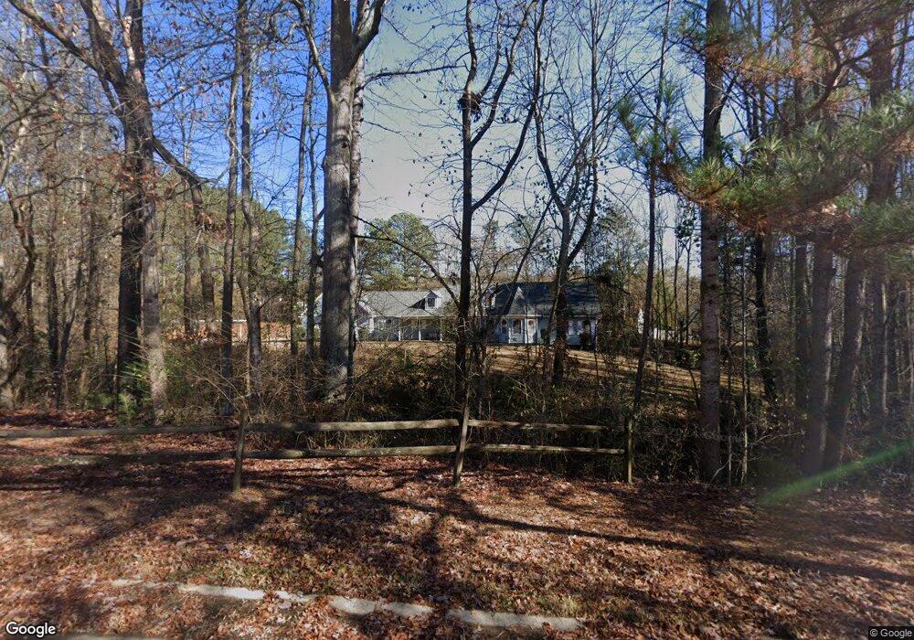
1815 Ashton Brooke Ln Buford, GA 30519
Estimated Value: $493,000 - $567,000
4
Beds
3
Baths
3,177
Sq Ft
$164/Sq Ft
Est. Value
About This Home
This home is located at 1815 Ashton Brooke Ln, Buford, GA 30519 and is currently estimated at $520,501, approximately $163 per square foot. 1815 Ashton Brooke Ln is a home located in Gwinnett County with nearby schools including Freeman's Mill Elementary School, Twin Rivers Middle School, and Mountain View High School.
Ownership History
Date
Name
Owned For
Owner Type
Purchase Details
Closed on
Dec 21, 2018
Sold by
Crumbley Gary M
Bought by
Crumbley Daniel
Current Estimated Value
Home Financials for this Owner
Home Financials are based on the most recent Mortgage that was taken out on this home.
Original Mortgage
$242,100
Outstanding Balance
$212,878
Interest Rate
4.8%
Mortgage Type
New Conventional
Estimated Equity
$307,623
Create a Home Valuation Report for This Property
The Home Valuation Report is an in-depth analysis detailing your home's value as well as a comparison with similar homes in the area
Home Values in the Area
Average Home Value in this Area
Purchase History
| Date | Buyer | Sale Price | Title Company |
|---|---|---|---|
| Crumbley Daniel | $289,000 | -- |
Source: Public Records
Mortgage History
| Date | Status | Borrower | Loan Amount |
|---|---|---|---|
| Open | Crumbley Daniel | $242,100 |
Source: Public Records
Tax History
| Year | Tax Paid | Tax Assessment Tax Assessment Total Assessment is a certain percentage of the fair market value that is determined by local assessors to be the total taxable value of land and additions on the property. | Land | Improvement |
|---|---|---|---|---|
| 2025 | $6,269 | $224,120 | $25,080 | $199,040 |
| 2024 | $5,939 | $200,400 | $29,240 | $171,160 |
| 2023 | $5,939 | $218,080 | $29,240 | $188,840 |
| 2022 | $5,646 | $187,680 | $21,240 | $166,440 |
| 2021 | $4,918 | $148,640 | $17,240 | $131,400 |
| 2020 | $3,901 | $100,000 | $13,760 | $86,240 |
| 2019 | $3,976 | $100,000 | $13,760 | $86,240 |
| 2018 | $2,954 | $100,000 | $13,760 | $86,240 |
| 2016 | $2,975 | $76,720 | $11,040 | $65,680 |
| 2015 | $3,001 | $76,720 | $11,040 | $65,680 |
| 2014 | $3,124 | $79,760 | $11,040 | $68,720 |
Source: Public Records
Map
Nearby Homes
- 1805 Ashton Brooke Ln
- 1835 Ashton Brooke Ln
- 1825 Ashton Brooke Ln
- 2373 Hampton Park Dr
- 1987 Pierce Way
- 2000 Lena Carter Rd
- 2305 Braselton Hwy
- 1720 Fort Daniels Trail
- 1968 Lakeview Bend Way
- 1714 Fort Shawnee Trace Unit 6
- 2375 Matlin Way
- 2415 Matlin Way
- 2228 Lakeview Bend Way
- 2455 Matlin Way
- 1958 Mapmaker Dr
- 1965 Holland Park Dr NE
- 2297 Roberts View Trail
- 2152 Paces Vale Place
- 2743 Bloom Cir
- 2495 Matlin Way
- 1940 Morgans Run Trail
- 1940 Morgans Run Tr
- 1950 Morgans Run Trail
- 1930 Morgans Run Trail
- 1960 Morgans Run Trail
- 1960 Morgans Run Trail
- 1920 Morgans Run Trail
- 1970 Morgans Run Trail Unit 1
- 1810 Ashton Brooke Ln
- 1820 Ashton Brooke Ln
- 1910 Morgans Run Trail Unit 1
- 1980 Morgans Run Trail Unit 1
- 1830 Ashton Brooke Ln Unit 9
- 1830 Ashton Brooke Ln
- 1830 Ashton Brooke Ln
- 1845 Ashton Brooke Ln
- 1975 Morgans Run Trail Unit 1
- 1800 Ashton Brooke Ln
- 1900 Morgans Run Trail
- 1900 Morgans Run Trail Unit 36
Your Personal Tour Guide
Ask me questions while you tour the home.