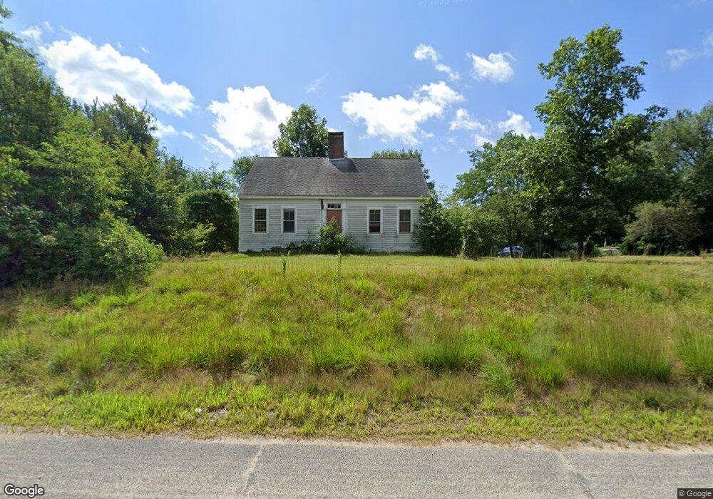
1816 Flat River Rd Coventry, RI 02816
Estimated Value: $379,102 - $544,000
3
Beds
1
Bath
2,002
Sq Ft
$235/Sq Ft
Est. Value
About This Home
This home is located at 1816 Flat River Rd, Coventry, RI 02816 and is currently estimated at $469,776, approximately $234 per square foot. 1816 Flat River Rd is a home located in Kent County with nearby schools including Alan Shawn Feinstein Ms Of Cov, Coventry High School, and Father John V. Doyle School.
Ownership History
Date
Name
Owned For
Owner Type
Purchase Details
Closed on
Jun 19, 2014
Sold by
Langdon Nich H
Bought by
Langdon Nick H and Gildea Ruthann
Current Estimated Value
Purchase Details
Closed on
Dec 27, 2012
Sold by
Langdon Gretchen C
Bought by
Langdon Nick H
Purchase Details
Closed on
Dec 18, 2000
Sold by
Harbour Ellen M
Bought by
Langdon Grethen C and Langdon Nick H
Create a Home Valuation Report for This Property
The Home Valuation Report is an in-depth analysis detailing your home's value as well as a comparison with similar homes in the area
Purchase History
| Date | Buyer | Sale Price | Title Company |
|---|---|---|---|
| Langdon Nick H | -- | -- | |
| Langdon Nick H | -- | -- | |
| Langdon Grethen C | $170,000 | -- |
Source: Public Records
Mortgage History
| Date | Status | Borrower | Loan Amount |
|---|---|---|---|
| Open | Langdon Grethen C | $237,937 | |
| Closed | Langdon Grethen C | $135,000 | |
| Previous Owner | Langdon Grethen C | $81,400 |
Source: Public Records
Tax History
| Year | Tax Paid | Tax Assessment Tax Assessment Total Assessment is a certain percentage of the fair market value that is determined by local assessors to be the total taxable value of land and additions on the property. | Land | Improvement |
|---|---|---|---|---|
| 2025 | $4,508 | $280,200 | $112,300 | $167,900 |
| 2024 | $4,438 | $280,200 | $112,300 | $167,900 |
| 2023 | $4,295 | $280,200 | $112,300 | $167,900 |
| 2022 | $4,343 | $221,900 | $100,800 | $121,100 |
| 2021 | $4,305 | $221,900 | $100,800 | $121,100 |
| 2020 | $4,935 | $221,900 | $100,800 | $121,100 |
| 2019 | $4,357 | $195,900 | $86,400 | $109,500 |
| 2018 | $4,233 | $195,900 | $86,400 | $109,500 |
| 2017 | $4,110 | $195,900 | $86,400 | $109,500 |
| 2016 | $4,209 | $196,600 | $81,800 | $114,800 |
| 2015 | $4,095 | $196,600 | $81,800 | $114,800 |
| 2014 | $3,826 | $196,600 | $81,800 | $114,800 |
| 2013 | $4,073 | $218,300 | $94,400 | $123,900 |
Source: Public Records
Map
Nearby Homes
- 9 June Ct
- 2 June Ct
- 5 June Ct
- 65 Sunset Lake Cir
- 33 Sunset Lake Cir
- 5 Tamarack Trail
- 0 Poor Farm Lot 67 Rd
- 32 Chandler Dr
- 54 Acres of Pine Rd
- 55 Teakwood Dr W
- 27 Acres of Pine Rd
- 18 Airport Rd
- 77 Wright Way
- 89 Wright Way
- 13 Valiant Dr
- 16 Valiant Dr
- 13 Poppin John Ln
- 1 Hopkins Ct
- 58 Wright Way
- 49 Wright Way
- 3 Whitehead Rd
- 1 Whitehead Rd
- 4 Whitehead Rd
- 2 Whitehead Rd
- 0 Whitehead Rd Unit 1395877
- 0 Whitehead Rd Unit 1386137
- 0 Whitehead Rd Unit 1369281
- 0 Whitehead Rd
- 0 Whitehead Rd Unit 1359198
- 0 Whitehead Rd Unit 1057814
- 0 Whitehead Rd Unit 1057812
- 0 Whitehead Rd Unit 1057815
- 0 Whitehead Rd Unit 1093780
- 0 Whitehead Rd Unit 1093785
- 0 Whitehead Rd Unit 1093797
- 0 Whitehead Rd Unit 1137332
- 0 Whitehead Rd Unit 1289701
- 0 Whitehead Rd Unit 1118771
- 0 Whitehead Rd Unit 1118778
- 0 Whitehead Rd Unit 1118782
Your Personal Tour Guide
Ask me questions while you tour the home.