Estimated Value: $295,192 - $331,000
About This Home
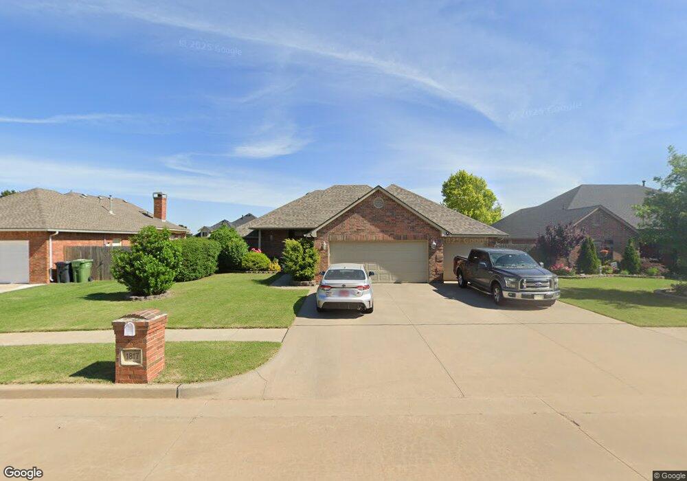
This home is located at 1817 Derail St, Yukon, OK 73099 and is currently estimated at $313,298, approximately $172 per square foot. 1817 Derail St is a home located in Canadian County with nearby schools including Banner School, St. John Nepomuk Catholic School, and Glory Christian School.
Ownership History
We collect this data history from publicly available records. To have your information removed, we recommend requesting removal directly through your county’s website.
Purchase Details
Purchase Details
Home Financials for this Owner
Home Financials are based on the most recent Mortgage that was taken out on this home.Home Values in the Area
Average Home Value in this Area
Purchase History
We collect this data history from publicly available records. To have your information removed, we recommend requesting removal directly through your county’s website.
| Date | Buyer | Sale Price | Title Company |
|---|---|---|---|
| -- | -- | ||
| $174,000 | The Oklahoma City Abstract & |
Mortgage History
We collect this data history from publicly available records. To have your information removed, we recommend requesting removal directly through your county’s website.
| Date | Status | Borrower | Loan Amount |
|---|---|---|---|
| Previous Owner | $170,848 |
Tax History
We collect this data history from publicly available records. To have your information removed, we recommend requesting removal directly through your county’s website.
| Year | Tax Paid | Tax Assessment Tax Assessment Total Assessment is a certain percentage of the fair market value that is determined by local assessors to be the total taxable value of land and additions on the property. | Land | Improvement |
|---|---|---|---|---|
| 2025 | $2,099 | $28,716 | $5,280 | $23,436 |
| 2024 | $2,139 | $27,879 | $5,280 | $22,599 |
| 2023 | $2,139 | $27,068 | $5,280 | $21,788 |
| 2022 | $2,065 | $25,779 | $5,280 | $20,499 |
| 2021 | $2,010 | $24,888 | $5,280 | $19,608 |
| 2020 | $1,994 | $24,888 | $5,280 | $19,608 |
| 2019 | $1,994 | $24,665 | $5,280 | $19,385 |
| 2018 | $1,940 | $23,574 | $5,280 | $18,294 |
| 2017 | $1,961 | $23,574 | $5,280 | $18,294 |
| 2016 | $1,922 | $24,644 | $5,280 | $19,364 |
| 2015 | $1,714 | $22,452 | $3,886 | $18,566 |
| 2014 | $1,714 | $21,383 | $3,815 | $17,568 |
Map
- 505 Swingman Rd
- 1824 Derail St
- 1808 Derail St
- 1804 Flagman St
- 1909 Wye St
- 1805 Hobo St
- 641 Branch Line Rd
- 516 Side Track Rd
- 604 Winding Creek Rd
- 1813 Kingsgate Terrace
- 204 Castle Rock Rd
- 0 U S Route 66
- 1633 W Main St
- 1801 Churchill Rd
- 905 Stone Creek Blvd
- 930 Maple St
- 9300 Anaum Ln
- 428 S 8th St
- 723 Poplar Ave
- 11625 NW 104th St
- 1813 Derail St
- 1812 Caboose St
- 1809 Derail St
- 1816 Caboose St
- 1816 Derail St
- 1808 Caboose St
- 1812 Derail St
- 1820 Derail St
- 1805 Derail St
- 508 Swingman Rd
- 1804 Caboose St
- 504 Swingman Rd
- 512 Swingman Rd
- 500 Swingman Rd
- 516 Swingman Rd
- 1817 Flagman St
- 1800 Caboose St
- 1801 Derail St
- 1825 Flagman St
- 1821 Flagman St
Ask me questions while you tour the home.