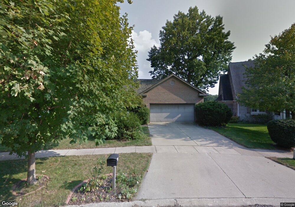
1818 Maynard Dr Champaign, IL 61822
Estimated Value: $536,643 - $668,000
About This Home
This home is located at 1818 Maynard Dr, Champaign, IL 61822 and is currently estimated at $611,161, approximately $152 per square foot. 1818 Maynard Dr is a home located in Champaign County with nearby schools including Centennial High School, Countryside School, and Swann Special Care Center-Elem/Secondary School.
Ownership History
We collect this data history from publicly available records. To have your information removed, we recommend requesting removal directly through your county’s website.
Purchase Details
Home Financials for this Owner
Home Financials are based on the most recent Mortgage that was taken out on this home.Purchase Details
Purchase Details
Purchase History
We collect this data history from publicly available records. To have your information removed, we recommend requesting removal directly through your county’s website.
| Date | Buyer | Sale Price | Title Company |
|---|---|---|---|
| $475,000 | None Available | ||
| $390,000 | None Available | ||
| -- | None Available |
Mortgage History
We collect this data history from publicly available records. To have your information removed, we recommend requesting removal directly through your county’s website.
| Date | Status | Borrower | Loan Amount |
|---|---|---|---|
| Open | $275,000 |
Tax History
We collect this data history from publicly available records. To have your information removed, we recommend requesting removal directly through your county’s website.
| Year | Tax Paid | Tax Assessment Tax Assessment Total Assessment is a certain percentage of the fair market value that is determined by local assessors to be the total taxable value of land and additions on the property. | Land | Improvement |
|---|---|---|---|---|
| 2025 | $10,533 | $174,840 | $50,240 | $124,600 |
| 2024 | $10,083 | $155,280 | $44,620 | $110,660 |
| 2023 | $10,083 | $143,380 | $41,200 | $102,180 |
| 2022 | $9,628 | $133,750 | $38,430 | $95,320 |
| 2021 | $9,255 | $131,380 | $37,750 | $93,630 |
| 2020 | $9,179 | $130,080 | $37,380 | $92,700 |
| 2019 | $8,883 | $127,910 | $36,760 | $91,150 |
| 2018 | $8,622 | $124,460 | $36,760 | $87,700 |
| 2017 | $7,977 | $120,380 | $36,760 | $83,620 |
| 2016 | $6,926 | $117,090 | $36,760 | $80,330 |
| 2015 | $6,563 | $117,090 | $36,760 | $80,330 |
| 2014 | $6,517 | $108,760 | $36,760 | $72,000 |
| 2013 | $6,408 | $108,760 | $36,760 | $72,000 |
Map
- 3304 Halifax Dr Unit B
- 2911 Sierra Dr
- 3405 Lakeshore Dr
- 3510 S Duncan Rd
- 2707 Worcester Dr
- 2918 Robeson Park Dr
- 27 Fields E Unit 27
- 22 Fields E
- 3104 Valleybrook Dr
- 2612 W Kirby Ave
- 2703 Lawndale Dr
- 2104 Doubletree Ln
- 3701 Englewood Dr
- 1511 Bridge Point Ln
- 2510 Southmoor Dr
- 2801 Sangamon Dr
- 2204 Edgewater Place
- 2401 Arden Dr
- 1411 Scottsdale Dr
- 2220 Briar Hill Dr Unit B
- 1822 Maynard Dr
- 1814 Maynard Dr
- 1826 Maynard Dr
- 1810 Maynard Dr
- 1817 Maynard Dr
- 1813 Maynard Dr
- 1830 Maynard Dr
- 1806 Maynard Dr
- 1821 Maynard Dr
- 1834 Maynard Dr
- 1809 Maynard Dr
- 2 Moraine Ct
- 1800 Maynard Dr
- 1838 Maynard Dr
- 1808 Bridgestone Dr
- 1825 Moraine Dr
- 1821 Moraine Dr
- 1829 Moraine Dr
- 1829 Maynard Dr
- 1817 Moraine Dr
Ask me questions while you tour the home.