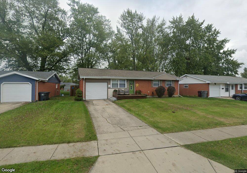
1818 Rice Ave Lima, OH 45805
Westgate NeighborhoodEstimated Value: $145,000 - $169,000
About This Home
This home is located at 1818 Rice Ave, Lima, OH 45805 and is currently estimated at $157,485, approximately $153 per square foot. 1818 Rice Ave is a home located in Allen County with nearby schools including Heritage Elementary School, Lima West Middle School, and Lima North Middle School.
Ownership History
We collect this data history from publicly available records. To have your information removed, we recommend requesting removal directly through your county’s website.
Purchase Details
Home Financials for this Owner
Home Financials are based on the most recent Mortgage that was taken out on this home.Purchase Details
Home Values in the Area
Average Home Value in this Area
Purchase History
We collect this data history from publicly available records. To have your information removed, we recommend requesting removal directly through your county’s website.
| Date | Buyer | Sale Price | Title Company |
|---|---|---|---|
| $66,000 | Expedient Title Ltd | ||
| $31,600 | -- |
Mortgage History
We collect this data history from publicly available records. To have your information removed, we recommend requesting removal directly through your county’s website.
| Date | Status | Borrower | Loan Amount |
|---|---|---|---|
| Open | $64,980 |
Tax History
We collect this data history from publicly available records. To have your information removed, we recommend requesting removal directly through your county’s website.
| Year | Tax Paid | Tax Assessment Tax Assessment Total Assessment is a certain percentage of the fair market value that is determined by local assessors to be the total taxable value of land and additions on the property. | Land | Improvement |
|---|---|---|---|---|
| 2025 | $1,395 | $38,710 | $7,350 | $31,360 |
| 2024 | $1,394 | $38,710 | $7,350 | $31,360 |
| 2023 | $1,173 | $28,040 | $5,320 | $22,720 |
| 2022 | $1,179 | $28,040 | $5,320 | $22,720 |
| 2021 | $1,280 | $28,040 | $5,320 | $22,720 |
| 2020 | $1,315 | $25,590 | $5,080 | $20,510 |
| 2019 | $1,315 | $25,590 | $5,080 | $20,510 |
| 2018 | $1,282 | $25,590 | $5,080 | $20,510 |
| 2017 | $1,271 | $24,610 | $5,080 | $19,530 |
| 2016 | $1,283 | $24,610 | $5,080 | $19,530 |
| 2015 | $1,192 | $24,610 | $5,080 | $19,530 |
| 2014 | $1,192 | $22,470 | $5,390 | $17,080 |
| 2013 | $1,160 | $22,470 | $5,390 | $17,080 |
Map
- 814 Mackenzie Dr
- 1857 Latham Ave
- 1834 Latham Ave
- 1828 University Blvd
- 949 N Dale Dr
- 926 Crestwood Dr
- 1811 Mound Rd
- 1929 W Wayne St
- 1687 Rebecca Dr
- 1675 Rebecca Dr
- 340 N Dale Dr
- 391 N Fernwood Dr
- 100 Burlington Place
- 1415 Hazel Ave
- 1517 Allentown Rd
- 616 N Rosedale Ave
- 1508 Oakland Pkwy
- 124 N Nixon Ave
- 4 Beaumont Place
- 1415 W Wayne St
Ask me questions while you tour the home.