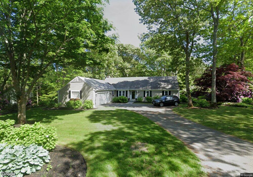
182 Midpine Rd Barnstable, MA 02675
Barnstable Village NeighborhoodEstimated Value: $867,618 - $1,072,000
3
Beds
3
Baths
2,114
Sq Ft
$460/Sq Ft
Est. Value
About This Home
This home is located at 182 Midpine Rd, Barnstable, MA 02675 and is currently estimated at $972,405, approximately $459 per square foot. 182 Midpine Rd is a home located in Barnstable County with nearby schools including West Barnstable Elementary School, Barnstable United Elementary School, and Barnstable Intermediate School.
Ownership History
Date
Name
Owned For
Owner Type
Purchase Details
Closed on
May 11, 2005
Sold by
Emily E Nt and Mccarthy Pamela Marie
Bought by
Kelleher Dennis P and Kelleher Kristina D
Current Estimated Value
Home Financials for this Owner
Home Financials are based on the most recent Mortgage that was taken out on this home.
Original Mortgage
$359,650
Outstanding Balance
$190,047
Interest Rate
6.05%
Mortgage Type
Purchase Money Mortgage
Estimated Equity
$782,358
Purchase Details
Closed on
Feb 12, 2004
Sold by
Mckenna Dorothy I and Mckenna John T
Bought by
Emily E Nt and Mccarthy Pamela Marie
Create a Home Valuation Report for This Property
The Home Valuation Report is an in-depth analysis detailing your home's value as well as a comparison with similar homes in the area
Home Values in the Area
Average Home Value in this Area
Purchase History
| Date | Buyer | Sale Price | Title Company |
|---|---|---|---|
| Kelleher Dennis P | $557,500 | -- | |
| Emily E Nt | $455,000 | -- |
Source: Public Records
Mortgage History
| Date | Status | Borrower | Loan Amount |
|---|---|---|---|
| Open | Kelleher Dennis P | $359,650 |
Source: Public Records
Tax History
| Year | Tax Paid | Tax Assessment Tax Assessment Total Assessment is a certain percentage of the fair market value that is determined by local assessors to be the total taxable value of land and additions on the property. | Land | Improvement |
|---|---|---|---|---|
| 2025 | $7,524 | $814,300 | $230,300 | $584,000 |
| 2024 | $7,024 | $801,800 | $230,300 | $571,500 |
| 2023 | $6,340 | $706,000 | $209,400 | $496,600 |
| 2022 | $6,379 | $571,600 | $144,000 | $427,600 |
| 2021 | $5,812 | $496,300 | $146,200 | $350,100 |
| 2020 | $6,014 | $490,500 | $146,200 | $344,300 |
| 2019 | $5,625 | $460,300 | $155,100 | $305,200 |
| 2018 | $2,223 | $433,600 | $180,800 | $252,800 |
| 2017 | $2,081 | $420,800 | $180,800 | $240,000 |
| 2016 | $5,153 | $417,900 | $177,900 | $240,000 |
| 2015 | $4,871 | $402,200 | $179,100 | $223,100 |
Source: Public Records
Map
Nearby Homes
- 4390 Main St
- 18 Sleeping Dog Path
- 100 Spy Glass Hill Rd
- 65 Oakmont Rd
- 112 Main St
- 97 Oakmont Dr
- 162 Route 6a
- 218 Oakmont Rd
- 44 Iris Ln
- 79 Bayberry Ln
- 30 Indian Trail
- 933-935 W Yarmouth Rd
- 95 Washington Ave
- 25 Union St
- 40 Cocheset Path
- 48 Early Red Berry Ln
- 48 Early Redberry Ln
- 61 Coolidge Rd
- 36 Chandler Gray Rd
- 80 Coolidge Rd
- 182 Mid Pine Dr
- 172 Mid Pine Dr
- 172 Midpine Rd
- 144 Augusta National Dr
- 1 Congressional Dr
- 147 Augusta National Dr
- 7 Congressional Dr
- 179 Mid Pine Dr
- 179 Midpine Rd
- 177 Midpine Rd
- 193 Midpine Rd
- 193 Mid Pine Dr
- 165 Mid Pine Dr
- 9 Congressional Dr
- 165 Midpine Rd
- 128 Augusta National Dr
- 2 Congressional Dr
- 207 Midpine Rd
- 15 Congressional Dr
- 151 Midpine Rd
Your Personal Tour Guide
Ask me questions while you tour the home.