182 Revis Rd Andrews, NC 28901
Estimated Value: $280,000 - $349,000
3
Beds
2
Baths
1,800
Sq Ft
$179/Sq Ft
Est. Value
About This Home
This home is located at 182 Revis Rd, Andrews, NC 28901 and is currently estimated at $322,782, approximately $179 per square foot. 182 Revis Rd is a home located in Cherokee County with nearby schools including Andrews Elementary School, Andrews Middle School, and Andrews High School.
Ownership History
Date
Name
Owned For
Owner Type
Purchase Details
Closed on
Aug 23, 2023
Sold by
Johnson Debora L and Johnson Charles W
Bought by
Weber Carolyne E and Weber Franklin C
Current Estimated Value
Home Financials for this Owner
Home Financials are based on the most recent Mortgage that was taken out on this home.
Original Mortgage
$22,000
Outstanding Balance
$20,000
Interest Rate
6.06%
Mortgage Type
Balloon
Estimated Equity
$302,782
Create a Home Valuation Report for This Property
The Home Valuation Report is an in-depth analysis detailing your home's value as well as a comparison with similar homes in the area
Home Values in the Area
Average Home Value in this Area
Purchase History
We collect this data history from publicly available records. To have your information removed, we recommend requesting removal directly through your county’s website.
| Date | Buyer | Sale Price | Title Company |
|---|---|---|---|
| Weber Carolyne E | -- | None Listed On Document | |
| Weber Carolyne E | $275,000 | None Listed On Document |
Source: Public Records
Mortgage History
We collect this data history from publicly available records. To have your information removed, we recommend requesting removal directly through your county’s website.
| Date | Status | Borrower | Loan Amount |
|---|---|---|---|
| Open | Weber Carolyne E | $22,000 | |
| Closed | Weber Carolyne E | $22,000 |
Source: Public Records
Tax History
| Year | Tax Paid | Tax Assessment Tax Assessment Total Assessment is a certain percentage of the fair market value that is determined by local assessors to be the total taxable value of land and additions on the property. | Land | Improvement |
|---|---|---|---|---|
| 2025 | $1,361 | $192,150 | $0 | $0 |
| 2024 | $1,295 | $192,150 | $0 | $0 |
| 2023 | $1,295 | $183,700 | $0 | $0 |
| 2022 | $1,295 | $183,700 | $0 | $0 |
| 2021 | $1,093 | $183,700 | $41,330 | $142,370 |
| 2020 | $1,019 | $183,700 | $0 | $0 |
| 2019 | $1,165 | $188,200 | $0 | $0 |
| 2018 | $1,166 | $188,400 | $0 | $0 |
| 2017 | $1,166 | $188,400 | $0 | $0 |
| 2016 | $1,166 | $188,400 | $0 | $0 |
| 2015 | $1,166 | $188,400 | $61,050 | $127,350 |
| 2012 | -- | $188,400 | $61,050 | $127,350 |
Source: Public Records
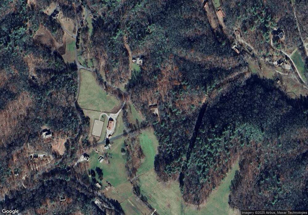
Map
Nearby Homes
- 136 Gibson Rd
- 1064 Pinedale Ln
- 760 Pinedale Ln
- 501 Cliff Top Trail
- Lot 2 Morris Creek Rd
- 477 Little Snowbird Trail
- 6203 Airport Rd
- 135.49ac Webb Creek Rd
- 6.83ac Webb Creek Rd
- 00 Rd
- 6785 Airport Rd
- 1917 Fairview Rd
- 00 Main & Whitaker
- 1974 Beaver Creek Rd
- 00 River Dance Dr
- 4357 Fairview Rd
- 1000 Hyatt Creek Rd
- 212 Pendergrass Rd
- 820 Beaver Creek Rd
- 430 Live Oak Terrace
- 254 Revis Rd
- 0 Revis Rd Unit 246469
- Lot 7 Revis Rd
- 1547 Healey Fields Rd
- 1538 Healy Fields Rd
- 00 Wildwood Rd
- 0 Wildwood Rd
- 0 Bonnie Brae
- 123851 Bonnie Brae
- 372 Wildwood Rd
- 1477 Healey Fields Rd
- 1477 Healy Fields Rd
- 100 Burgess Ln
- 1477 Healy Field Rd
- 457 Tomahawk Trail
- 1952 Bonnie Brae Ln
- 464 Revis Rd
- 109 Burgess Ln
- 1547 Healy Fields Rd
- 1547 Healy Fields Rd
Your Personal Tour Guide
Ask me questions while you tour the home.