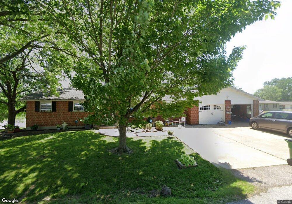
1820 Apple St Pacific, MO 63069
Estimated Value: $249,056 - $285,000
About This Home
This home is located at 1820 Apple St, Pacific, MO 63069 and is currently estimated at $273,264, approximately $194 per square foot. 1820 Apple St is a home located in Franklin County with nearby schools including Pacific High School and St Bridget Elementary School.
Ownership History
We collect this data history from publicly available records. To have your information removed, we recommend requesting removal directly through your county’s website.
Purchase Details
Home Financials for this Owner
Home Financials are based on the most recent Mortgage that was taken out on this home.Home Values in the Area
Average Home Value in this Area
Purchase History
We collect this data history from publicly available records. To have your information removed, we recommend requesting removal directly through your county’s website.
| Date | Buyer | Sale Price | Title Company |
|---|---|---|---|
| $149,500 | None Available |
Mortgage History
We collect this data history from publicly available records. To have your information removed, we recommend requesting removal directly through your county’s website.
| Date | Status | Borrower | Loan Amount |
|---|---|---|---|
| Open | $152,714 |
Tax History
We collect this data history from publicly available records. To have your information removed, we recommend requesting removal directly through your county’s website.
| Year | Tax Paid | Tax Assessment Tax Assessment Total Assessment is a certain percentage of the fair market value that is determined by local assessors to be the total taxable value of land and additions on the property. | Land | Improvement |
|---|---|---|---|---|
| 2025 | $2,508 | $35,089 | $0 | $0 |
| 2024 | $2,508 | $32,539 | $0 | $0 |
| 2023 | $2,326 | $32,539 | $0 | $0 |
| 2022 | $1,975 | $30,235 | $0 | $0 |
| 2021 | $1,966 | $30,235 | $0 | $0 |
| 2020 | $1,775 | $27,368 | $0 | $0 |
| 2019 | $1,728 | $26,693 | $0 | $0 |
| 2018 | $1,735 | $26,275 | $0 | $0 |
| 2017 | $1,723 | $26,275 | $0 | $0 |
| 2016 | $1,620 | $24,444 | $0 | $0 |
| 2015 | $1,573 | $24,444 | $0 | $0 |
| 2014 | $1,564 | $24,706 | $0 | $0 |
Map
- 1877 Forest Ln
- 1233 Powell Place
- 1233 Sonoma Way
- 1708 Westlake Ct
- 1980 Highway N
- 1657 Westlake Ct
- 1942 Kesha Ct
- 1408 W Congress St
- 1703 Birch Dr
- 1404 Birch Dr
- 125 Vincent St
- 156 Hogan Ave
- 107 Vincent St
- 1107 W Congress St
- 122 Winter Wheat Trail
- 215 Candlewick Dr
- 127 Phelan St
- 668 #12 Highlands Ct Ct
- 652 Ct
- 667 #9 Highlands Rd
- 0 Unknown Unit 18015079
- 0 Unknown Unit 18015076
- 0 Unknown Unit 18015075
- 0 Unknown Unit 18005318
- 0 Unknown Unit 16076671
- 0 Unknown Unit 16075445
- 0 Unknown Unit 16075439
- 0 Unknown Unit 16075431
- 0 Unknown Unit 758462
- 0 Unknown Unit 770883
- 0 Unknown Unit 80039754
- 0 Unknown Unit 90021597
- 0 Unknown Unit 80055926
- 0 Unknown Unit 80055922
- 0 Unknown Unit 80055920
- 0 Unknown Unit 80055914
- 0 Unknown Unit 80055889
- 0 Unknown Unit 90047998
- 0 Unknown Unit 22065387
- 0 Unknown Unit 22031443
Ask me questions while you tour the home.