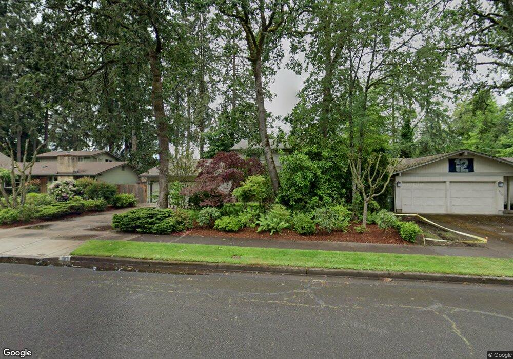
1820 Tabor St Eugene, OR 97401
Cal Young NeighborhoodEstimated Value: $668,424 - $787,000
4
Beds
5
Baths
2,680
Sq Ft
$275/Sq Ft
Est. Value
About This Home
This home is located at 1820 Tabor St, Eugene, OR 97401 and is currently estimated at $737,106, approximately $275 per square foot. 1820 Tabor St is a home located in Lane County with nearby schools including Willagillespie Elementary School, Cal Young Middle School, and Sheldon High School.
Ownership History
Date
Name
Owned For
Owner Type
Purchase Details
Closed on
Jun 27, 2025
Sold by
Lucas Lynne C and Lorence Mary A
Bought by
Lynne Carol Lucas Trust and Mary Ann Lorence Trust
Current Estimated Value
Purchase Details
Closed on
Jun 11, 2002
Sold by
Hall Martin Sloan
Bought by
Lucas Lynne C and Lorence Mary A
Home Financials for this Owner
Home Financials are based on the most recent Mortgage that was taken out on this home.
Original Mortgage
$80,000
Interest Rate
6.74%
Create a Home Valuation Report for This Property
The Home Valuation Report is an in-depth analysis detailing your home's value as well as a comparison with similar homes in the area
Home Values in the Area
Average Home Value in this Area
Purchase History
| Date | Buyer | Sale Price | Title Company |
|---|---|---|---|
| Lynne Carol Lucas Trust | -- | None Listed On Document | |
| Lucas Lynne C | $272,000 | Western Pioneer Title Co |
Source: Public Records
Mortgage History
| Date | Status | Borrower | Loan Amount |
|---|---|---|---|
| Previous Owner | Lucas Lynne C | $80,000 |
Source: Public Records
Tax History
| Year | Tax Paid | Tax Assessment Tax Assessment Total Assessment is a certain percentage of the fair market value that is determined by local assessors to be the total taxable value of land and additions on the property. | Land | Improvement |
|---|---|---|---|---|
| 2025 | $6,874 | $352,790 | -- | -- |
| 2024 | $6,788 | $342,515 | -- | -- |
| 2023 | $6,788 | $332,539 | -- | -- |
| 2022 | $6,359 | $322,854 | $0 | $0 |
| 2021 | $5,973 | $313,451 | $0 | $0 |
| 2020 | $5,994 | $304,322 | $0 | $0 |
| 2019 | $5,789 | $295,459 | $0 | $0 |
| 2018 | $5,449 | $278,499 | $0 | $0 |
| 2017 | $5,166 | $278,499 | $0 | $0 |
| 2016 | $4,925 | $270,387 | $0 | $0 |
| 2015 | $4,755 | $262,512 | $0 | $0 |
| 2014 | $4,651 | $254,866 | $0 | $0 |
Source: Public Records
Map
Nearby Homes
- 1332 Jeppesen Ave
- 1500 Norkenzie Rd Unit 12
- 0 Piper Ln Unit Lot 1
- 0 Piper Ln Unit Lot 3
- 0 Piper Ln Unit Lot 2
- 0 Piper Ln Unit Lot 5
- 1625 Monterey Ln
- 2281 Ridgeway Dr
- 1810 Minda Dr
- 1328 Spyglass Dr
- 1901 Minda Dr
- 2280 Tabor St
- 2291 Norkenzie Rd
- 1943 Monterey Ln
- 1165 Skylark Ln
- 1376 Brickley Rd
- 0 Cal Young Rd Unit Lot 4
- 996 Sherwood Place
- 410 Spyglass Dr
- 1697 Elanco Ave
- 1810 Tabor St
- 1830 Tabor St
- 1840 Tabor St
- 1825 Tabor St
- 1410 Amberland Ave
- 1850 Tabor St
- 1805 Tabor St
- 1455 Larkspur Ave
- 1790 Tabor St
- 1415 Amberland Ave
- 1420 Amberland Ave
- 1430 Amberland Ave
- 1860 Tabor St
- 1475 Larkspur Ave
- 1382 Jeppesen Ave
- 1425 Amberland Ave
- 1865 Tabor St
- 1362 Jeppesen Ave
- 1485 Larkspur Ave
- 1450 Larkspur Ave
Your Personal Tour Guide
Ask me questions while you tour the home.