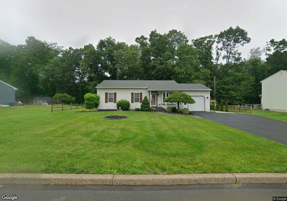
1822 Brook Ln Jamison, PA 18929
Estimated Value: $473,463 - $539,000
3
Beds
2
Baths
1,360
Sq Ft
$380/Sq Ft
Est. Value
About This Home
This home is located at 1822 Brook Ln, Jamison, PA 18929 and is currently estimated at $516,616, approximately $379 per square foot. 1822 Brook Ln is a home located in Bucks County with nearby schools including Jamison Elementary School, Tamanend Middle School, and Central Bucks High School - South.
Ownership History
Date
Name
Owned For
Owner Type
Purchase Details
Closed on
Feb 12, 2018
Sold by
Babst Joan R
Bought by
Babst Joan R and Joan R Babst Living Trust
Current Estimated Value
Purchase Details
Closed on
Dec 29, 1999
Sold by
Thorpe Marian R
Bought by
Callahan Gerard C and Callahan Catherine A
Home Financials for this Owner
Home Financials are based on the most recent Mortgage that was taken out on this home.
Original Mortgage
$154,350
Interest Rate
7.79%
Create a Home Valuation Report for This Property
The Home Valuation Report is an in-depth analysis detailing your home's value as well as a comparison with similar homes in the area
Home Values in the Area
Average Home Value in this Area
Purchase History
We collect this data history from publicly available records. To have your information removed, we recommend requesting removal directly through your county’s website.
| Date | Buyer | Sale Price | Title Company |
|---|---|---|---|
| Babst Joan R | -- | None Available | |
| Callahan Gerard C | $171,500 | -- |
Source: Public Records
Mortgage History
We collect this data history from publicly available records. To have your information removed, we recommend requesting removal directly through your county’s website.
| Date | Status | Borrower | Loan Amount |
|---|---|---|---|
| Previous Owner | Callahan Gerard C | $154,350 |
Source: Public Records
Tax History
| Year | Tax Paid | Tax Assessment Tax Assessment Total Assessment is a certain percentage of the fair market value that is determined by local assessors to be the total taxable value of land and additions on the property. | Land | Improvement |
|---|---|---|---|---|
| 2026 | $5,489 | $30,320 | $9,200 | $21,120 |
| 2025 | $5,278 | $30,320 | $9,200 | $21,120 |
| 2024 | $5,278 | $30,320 | $9,200 | $21,120 |
| 2023 | $5,110 | $30,320 | $9,200 | $21,120 |
| 2022 | $5,053 | $30,320 | $9,200 | $21,120 |
| 2021 | $4,997 | $30,320 | $9,200 | $21,120 |
| 2020 | $4,997 | $30,320 | $9,200 | $21,120 |
| 2019 | $4,966 | $30,320 | $9,200 | $21,120 |
| 2018 | $4,966 | $30,320 | $9,200 | $21,120 |
| 2017 | $4,929 | $30,320 | $9,200 | $21,120 |
| 2016 | $4,929 | $30,320 | $9,200 | $21,120 |
| 2015 | -- | $30,320 | $9,200 | $21,120 |
| 2014 | -- | $30,320 | $9,200 | $21,120 |
Source: Public Records
Map
Nearby Homes
- 1724 Brook Ln
- 1427 Bentley Dr
- 3001 Flower Mill Cir
- 2034 Buckingham Dr
- 1646 Rockcress Dr
- 1588 Marie Cir
- 1410 Windsor Dr
- 2210 Club House Cir
- 0 Stony Rd Unit ROLLINS
- 0 Stony Rd Unit RAINTREE
- 0 Stony Rd Unit KINGSWOOD
- 0 Stony Rd Unit CLOVERFIELD
- 0 Stony Rd Unit MAYWEATHER
- 2297 Warwick Rd
- 1990 York Rd
- 1501 Stony Rd
- 1489 Stony Rd
- 1503 Sweetbriar Dr
- 1477 Stony Rd Unit RUTLEDGE
- 1477 Stony Rd
- 1812 Brook Ln
- 1832 Brook Ln
- 1817 Brook Ln
- 1827 Brook Ln
- 1802 Brook Ln
- 1837 Brook Ln
- 1882 Farmdale Rd
- 1828 Hawthorne Cir
- 1871 Farmdale Rd
- 1847 Brook Ln
- 1838 Hawthorne Cir
- 1947 Turkey Trot Rd
- 1848 Hawthorne Cir
- 1872 Farmdale Rd
- 1794 Brook Ln
- 1857 Brook Ln
- 1340 Brook Ln
- 1862 Farmdale Rd
- 1817 Hawthorne Cir
- 1827 Hawthorne Cir
Your Personal Tour Guide
Ask me questions while you tour the home.