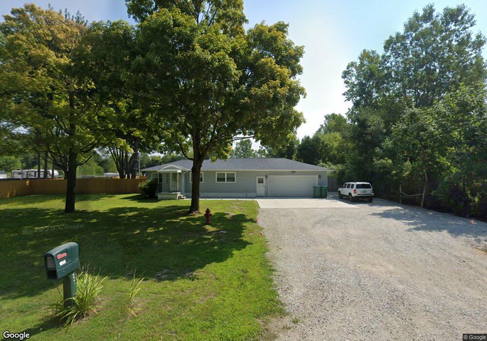
1822 Range Rd Port Huron, MI 48060
Estimated Value: $133,000 - $179,000
2
Beds
1
Bath
852
Sq Ft
$184/Sq Ft
Est. Value
About This Home
This home is located at 1822 Range Rd, Port Huron, MI 48060 and is currently estimated at $156,817, approximately $184 per square foot. 1822 Range Rd is a home located in St. Clair County with nearby schools including Kimball Elementary School, Central Middle School, and Port Huron High School.
Ownership History
Date
Name
Owned For
Owner Type
Purchase Details
Closed on
Dec 9, 2024
Sold by
D & M Lawn Landscaping & Tree Service Llc
Bought by
Jozefiak David S
Current Estimated Value
Home Financials for this Owner
Home Financials are based on the most recent Mortgage that was taken out on this home.
Original Mortgage
$124,000
Outstanding Balance
$122,441
Interest Rate
6.72%
Mortgage Type
New Conventional
Estimated Equity
$34,376
Purchase Details
Closed on
Oct 18, 2024
Sold by
D & M Lawn Landscape & Tree Service Llc
Bought by
Jozefiak
Home Financials for this Owner
Home Financials are based on the most recent Mortgage that was taken out on this home.
Original Mortgage
$124,000
Outstanding Balance
$122,441
Interest Rate
6.72%
Mortgage Type
New Conventional
Estimated Equity
$34,376
Purchase Details
Closed on
Aug 28, 2023
Sold by
Knisley Timothy G and Knisley Laura
Bought by
D & M Lawn Landscape & Tree Service Llc
Purchase Details
Closed on
Sep 16, 2022
Sold by
Knisley Timothy G and Knisley Laura
Bought by
Knisley Timothy G and Knisley Laura
Create a Home Valuation Report for This Property
The Home Valuation Report is an in-depth analysis detailing your home's value as well as a comparison with similar homes in the area
Home Values in the Area
Average Home Value in this Area
Purchase History
| Date | Buyer | Sale Price | Title Company |
|---|---|---|---|
| Jozefiak David S | -- | None Listed On Document | |
| Jozefiak David S | -- | None Listed On Document | |
| Jozefiak | -- | None Listed On Document | |
| D & M Lawn Landscape & Tree Service Llc | $150,000 | Ata National Title Group | |
| Knisley Timothy G | -- | None Listed On Document |
Source: Public Records
Mortgage History
| Date | Status | Borrower | Loan Amount |
|---|---|---|---|
| Open | Jozefiak David S | $124,000 | |
| Closed | Jozefiak David S | $124,000 |
Source: Public Records
Tax History
| Year | Tax Paid | Tax Assessment Tax Assessment Total Assessment is a certain percentage of the fair market value that is determined by local assessors to be the total taxable value of land and additions on the property. | Land | Improvement |
|---|---|---|---|---|
| 2025 | $1,125 | $75,300 | $0 | $0 |
| 2024 | $2,162 | $58,900 | $0 | $0 |
| 2023 | $626 | $56,400 | $0 | $0 |
| 2022 | $1,215 | $53,000 | $0 | $0 |
| 2020 | $1,160 | $44,400 | $44,400 | $0 |
| 2019 | $1,142 | $44,600 | $0 | $0 |
| 2018 | $1,082 | $44,600 | $0 | $0 |
| 2017 | $1,062 | $29,500 | $0 | $0 |
| 2016 | $514 | $29,500 | $0 | $0 |
| 2015 | -- | $31,200 | $31,200 | $0 |
| 2014 | -- | $29,600 | $29,600 | $0 |
| 2013 | -- | $29,400 | $0 | $0 |
Source: Public Records
Map
Nearby Homes
- 1405 Range Rd
- 00 Range Rd
- 0000 Range Rd
- 1814 Leland Rd
- 1786 Omar Rd
- 0 Wall Rd Unit 50185999
- V/L Allen
- 1604 Allen Rd
- 00 Howard Rd
- 1255 Quain Ln
- 269 Westbrook Ct
- 284 Rosebud Ct
- 174 Meadow Ln
- 209 Oldbrook Ln
- 104 Oldbrook Ln
- 153 Meadow Ln
- 5035 Burma Rd
- 0 Allen Rd Unit 20250008597
- 0 Allen Rd Unit 20250008612
- 4380 Lapeer Rd
Your Personal Tour Guide
Ask me questions while you tour the home.