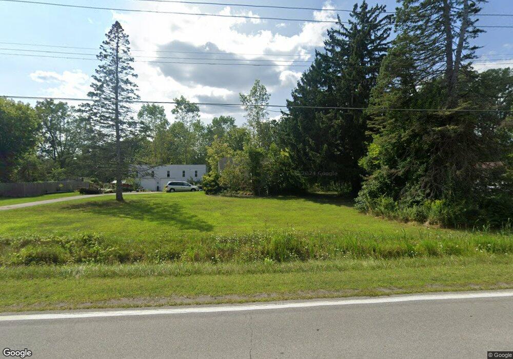
1823 Allen Rd Kimball, MI 48074
Estimated Value: $167,000 - $225,000
3
Beds
1
Bath
1,078
Sq Ft
$183/Sq Ft
Est. Value
About This Home
This home is located at 1823 Allen Rd, Kimball, MI 48074 and is currently estimated at $196,756, approximately $182 per square foot. 1823 Allen Rd is a home located in St. Clair County with nearby schools including Kimball Elementary School, Central Middle School, and Port Huron High School.
Ownership History
Date
Name
Owned For
Owner Type
Purchase Details
Closed on
Dec 27, 2014
Sold by
Malcolm David K
Bought by
Malcolm David K
Current Estimated Value
Purchase Details
Closed on
Apr 16, 2009
Sold by
Malcolm Kevin A
Bought by
Malcolm Sandra G
Purchase Details
Closed on
Mar 18, 2005
Sold by
Sinda Michael E and Sinda Sarah E
Bought by
Malcolm Kevin A
Home Financials for this Owner
Home Financials are based on the most recent Mortgage that was taken out on this home.
Original Mortgage
$147,695
Interest Rate
7.49%
Mortgage Type
Adjustable Rate Mortgage/ARM
Create a Home Valuation Report for This Property
The Home Valuation Report is an in-depth analysis detailing your home's value as well as a comparison with similar homes in the area
Home Values in the Area
Average Home Value in this Area
Purchase History
We collect this data history from publicly available records. To have your information removed, we recommend requesting removal directly through your county’s website.
| Date | Buyer | Sale Price | Title Company |
|---|---|---|---|
| Malcolm David K | -- | None Available | |
| Malcolm Sandra G | $59,000 | None Available | |
| Malcolm Kevin A | $147,695 | None Available |
Source: Public Records
Mortgage History
We collect this data history from publicly available records. To have your information removed, we recommend requesting removal directly through your county’s website.
| Date | Status | Borrower | Loan Amount |
|---|---|---|---|
| Previous Owner | Malcolm Kevin A | $147,695 |
Source: Public Records
Tax History
| Year | Tax Paid | Tax Assessment Tax Assessment Total Assessment is a certain percentage of the fair market value that is determined by local assessors to be the total taxable value of land and additions on the property. | Land | Improvement |
|---|---|---|---|---|
| 2025 | $1,834 | $76,700 | $0 | $0 |
| 2024 | $1,780 | $73,300 | $0 | $0 |
| 2023 | $1,666 | $68,900 | $0 | $0 |
| 2022 | $2,482 | $62,100 | $0 | $0 |
| 2020 | $2,356 | $61,800 | $61,800 | $0 |
| 2019 | $2,317 | $49,600 | $0 | $0 |
| 2018 | $2,199 | $46,600 | $0 | $0 |
| 2017 | $2,030 | $50,800 | $0 | $0 |
| 2016 | $1,451 | $50,800 | $0 | $0 |
| 2015 | -- | $46,600 | $46,600 | $0 |
| 2014 | -- | $44,300 | $44,300 | $0 |
| 2013 | -- | $53,700 | $0 | $0 |
Source: Public Records
Map
Nearby Homes
- V/L Allen
- 1782 Maple Rd
- 5080 Dove Rd
- 4654 Davidson Rd
- 1918 Harvey Rd
- 00 Howard Rd
- 0 Allen Rd Unit 20250008612
- 1908 Range Rd
- 1405 Range Rd
- 00 Range Rd
- 0000 Range Rd
- 1792 Meadowlark Ln
- 4602 Howard Rd
- 2396 Wadhams Rd
- 2007 Edward Ln E
- 0 Wadhams Rd Unit 50155021
- 0 Range Vl Rd
- 4761 Lapeer Rd
- 5117 Ravenswood Rd
- 0 Lapeer Rd Unit 50137357
Your Personal Tour Guide
Ask me questions while you tour the home.