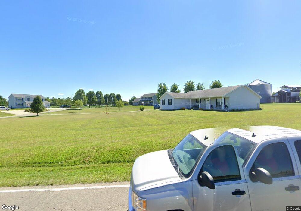
1823 E County Line Rd Springfield, OH 45502
Estimated Value: $163,000 - $208,638
2
Beds
2
Baths
1,232
Sq Ft
$155/Sq Ft
Est. Value
About This Home
This home is located at 1823 E County Line Rd, Springfield, OH 45502 and is currently estimated at $191,160, approximately $155 per square foot. 1823 E County Line Rd is a home located in Clark County with nearby schools including Northridge Elementary School and Kenton Ridge Middle & High School.
Ownership History
Date
Name
Owned For
Owner Type
Purchase Details
Closed on
Nov 17, 2003
Sold by
Leifheit Curtis L
Bought by
Mickelson Juanita
Current Estimated Value
Home Financials for this Owner
Home Financials are based on the most recent Mortgage that was taken out on this home.
Original Mortgage
$68,400
Outstanding Balance
$31,018
Interest Rate
6.03%
Mortgage Type
Purchase Money Mortgage
Estimated Equity
$160,143
Purchase Details
Closed on
Apr 16, 1990
Create a Home Valuation Report for This Property
The Home Valuation Report is an in-depth analysis detailing your home's value as well as a comparison with similar homes in the area
Purchase History
| Date | Buyer | Sale Price | Title Company |
|---|---|---|---|
| Mickelson Juanita | $76,000 | -- | |
| -- | $64,500 | -- |
Source: Public Records
Mortgage History
| Date | Status | Borrower | Loan Amount |
|---|---|---|---|
| Open | Mickelson Juanita | $68,400 |
Source: Public Records
Tax History
| Year | Tax Paid | Tax Assessment Tax Assessment Total Assessment is a certain percentage of the fair market value that is determined by local assessors to be the total taxable value of land and additions on the property. | Land | Improvement |
|---|---|---|---|---|
| 2025 | $2,565 | $59,990 | $13,980 | $46,010 |
| 2024 | $2,441 | $52,050 | $10,980 | $41,070 |
| 2023 | $2,441 | $52,050 | $10,980 | $41,070 |
| 2022 | $2,508 | $52,050 | $10,980 | $41,070 |
| 2021 | $2,154 | $39,730 | $8,380 | $31,350 |
| 2020 | $2,175 | $39,730 | $8,380 | $31,350 |
| 2019 | $2,156 | $39,730 | $8,380 | $31,350 |
| 2018 | $1,913 | $34,630 | $7,620 | $27,010 |
| 2017 | $1,914 | $34,622 | $7,616 | $27,006 |
| 2016 | $1,876 | $34,622 | $7,616 | $27,006 |
| 2015 | $1,848 | $34,118 | $7,616 | $26,502 |
| 2014 | $1,847 | $34,118 | $7,616 | $26,502 |
| 2013 | $1,834 | $34,118 | $7,616 | $26,502 |
Source: Public Records
Map
Nearby Homes
- 1470 Oldham Dr Unit 12
- 5645 Springfield-Urbana Pike Unit Lot 67
- 4816 Middle Urbana Rd
- 1398 Elizabeth Ct Unit 66
- 1977 Willoughby Ave
- 937 Willow Rd
- 5646 Springfield-Urbana Pike Unit Lot 30
- 5646 Springfield-Urbana Pike Unit Lot 90
- 5646 Springfield-Urbana Pike Unit Lot 61
- 5646 Springfield-Urbana Pike Unit Lot 72
- 4381 Briarwood Dr
- 335 Willow Rd
- 4180 Briarwood Dr
- Tract 8 Middle Urbana Rd
- 5235 W Ridgewood Rd
- 1521 Erika Dr
- 1309 Richmoor Rd
- 5300 Brookshire Ln
- Tract 3 Middle Urbana Rd
- 4890 Brannan Dr W Unit 4890
- 1823 E County Line Rd
- 1785 E County Line Rd
- 1859 E County Line Rd
- 1895 E County Line Rd
- 6906 Middle Urbana Rd
- 1949 E County Line Rd
- 6767 Middle Urbana Rd
- 5953 Middle Urbana Rd
- 5945 Middle Urbana Rd
- 2007 E County Line Rd
- 1575 E County Line Rd
- 2061 E County Line Rd
- 6758 Middle Urbana Rd
- 5861 Middle Urbana Rd
- 1485 E County Line Rd
- 2135 E County Line Rd
- 6690 Middle Urbana Rd
- 6670 Middle Urbana Rd
- 1455 E County Line Rd
- 2215 E County Line Rd
Your Personal Tour Guide
Ask me questions while you tour the home.