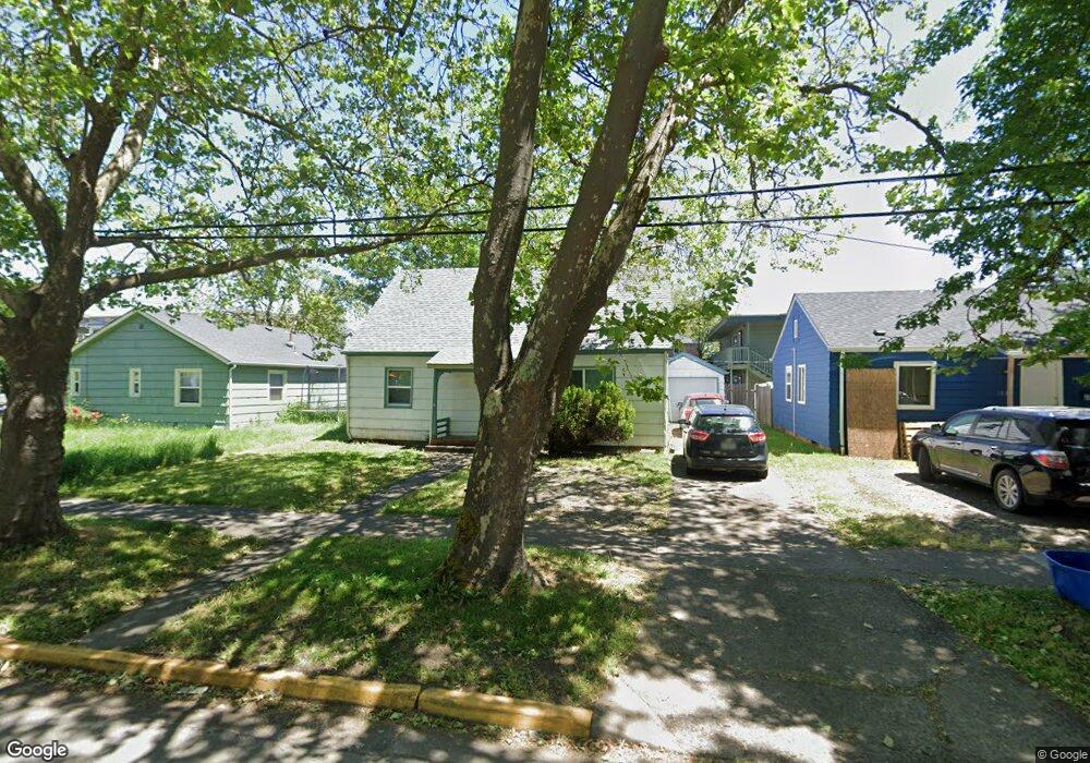
1823 High St Eugene, OR 97401
South University NeighborhoodEstimated Value: $497,000 - $552,000
4
Beds
1
Bath
1,482
Sq Ft
$348/Sq Ft
Est. Value
About This Home
This home is located at 1823 High St, Eugene, OR 97401 and is currently estimated at $516,222, approximately $348 per square foot. 1823 High St is a home located in Lane County with nearby schools including Edison Elementary School, Roosevelt Middle School, and South Eugene High School.
Ownership History
Date
Name
Owned For
Owner Type
Purchase Details
Closed on
Aug 29, 2022
Sold by
Felice Marcelle Dubois Trust
Bought by
430 W 13Th Jfd Ii Llc
Current Estimated Value
Purchase Details
Closed on
Dec 10, 2008
Sold by
Mccoy Stephen J and Guldager Mary C
Bought by
Pensco Trust Company and Felice M Dubois Ira
Purchase Details
Closed on
May 25, 2000
Sold by
Bert Mccoy and Bert Catherine M
Bought by
Mccoy Stephen J and Guldager Mary C
Create a Home Valuation Report for This Property
The Home Valuation Report is an in-depth analysis detailing your home's value as well as a comparison with similar homes in the area
Home Values in the Area
Average Home Value in this Area
Purchase History
| Date | Buyer | Sale Price | Title Company |
|---|---|---|---|
| 430 W 13Th Jfd Ii Llc | -- | None Listed On Document | |
| Pensco Trust Company | $195,000 | First American Title Ins Co | |
| Mccoy Stephen J | -- | -- |
Source: Public Records
Tax History
| Year | Tax Paid | Tax Assessment Tax Assessment Total Assessment is a certain percentage of the fair market value that is determined by local assessors to be the total taxable value of land and additions on the property. | Land | Improvement |
|---|---|---|---|---|
| 2025 | $3,193 | $163,902 | -- | -- |
| 2024 | $3,154 | $159,129 | -- | -- |
| 2023 | $3,154 | $154,495 | $0 | $0 |
| 2022 | $2,955 | $149,996 | $0 | $0 |
| 2021 | $2,775 | $145,628 | $0 | $0 |
| 2020 | $2,785 | $141,387 | $0 | $0 |
| 2019 | $2,690 | $137,269 | $0 | $0 |
| 2018 | $2,532 | $129,389 | $0 | $0 |
| 2017 | $2,418 | $129,389 | $0 | $0 |
| 2016 | $2,358 | $125,620 | $0 | $0 |
| 2015 | $2,291 | $121,961 | $0 | $0 |
| 2014 | $2,244 | $118,409 | $0 | $0 |
Source: Public Records
Map
Nearby Homes
- 1826 Mill St
- 1733 Mill Aly
- 1857 Pearl St
- 193 E 20th Ave
- 177 E 20th Ave
- 1600 Pearl St Unit 608
- 1828 Hilyard St
- 1492 Pearl St
- 344 E 14th Ave
- 2031 Olive St
- 2121 Hilyard St
- 1673 Olive Aly
- 810 E 20th Ave
- 732 E 22nd Ave
- 2223 Olive St
- 1375 Olive St Unit 503
- 2045 Kincaid St
- 180 W 23rd Ave
- 1313 Lincoln St Unit 503
- 1313 Lincoln St Unit 1005
- 312 E 18th Ave
- 1837 High St
- 328 E 18th Ave
- 323 E 18th Aly
- 350 E 18th Ave
- 1820 High St
- 1832 High St
- 1838 High St
- 1858 High St
- 1850 High St Unit C
- 355 E 19th Ave
- 1785 Mill Aly
- 390 E 18th Ave
- 1797 Mill Aly
- 1757 Mill Aly
- 1840 Mill St Unit A
- 1840 Mill St Unit E
- 1840 Mill St Unit D
- 1840 Mill St
- 396 E 18th Ave
Your Personal Tour Guide
Ask me questions while you tour the home.