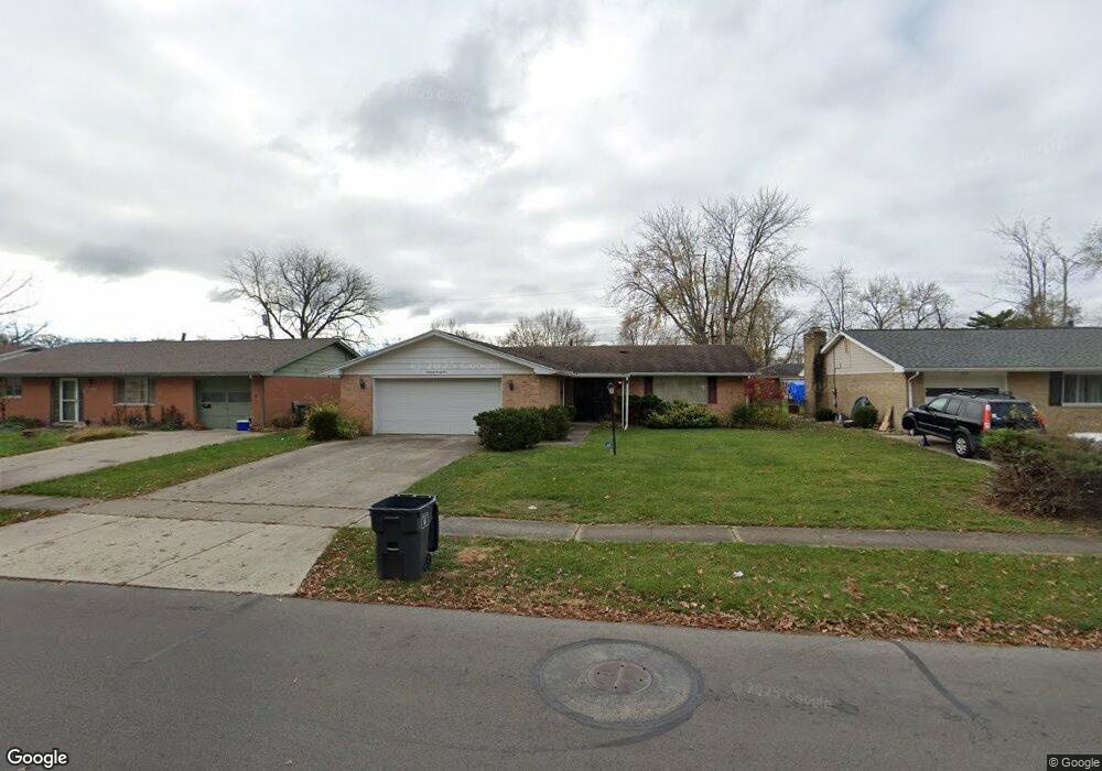
1825 Latham Ave Lima, OH 45805
Westgate NeighborhoodEstimated Value: $149,143 - $198,000
3
Beds
2
Baths
1,352
Sq Ft
$122/Sq Ft
Est. Value
About This Home
This home is located at 1825 Latham Ave, Lima, OH 45805 and is currently estimated at $164,286, approximately $121 per square foot. 1825 Latham Ave is a home located in Allen County with nearby schools including Heritage Elementary School, Lima West Middle School, and Lima North Middle School.
Ownership History
Date
Name
Owned For
Owner Type
Purchase Details
Closed on
Aug 7, 2012
Sold by
Sibold Brian A
Bought by
Hines Yvette M
Current Estimated Value
Home Financials for this Owner
Home Financials are based on the most recent Mortgage that was taken out on this home.
Original Mortgage
$79,365
Outstanding Balance
$53,609
Interest Rate
3.75%
Mortgage Type
FHA
Estimated Equity
$110,677
Purchase Details
Closed on
Mar 1, 1980
Bought by
Bryan Ruth A
Create a Home Valuation Report for This Property
The Home Valuation Report is an in-depth analysis detailing your home's value as well as a comparison with similar homes in the area
Home Values in the Area
Average Home Value in this Area
Purchase History
We collect this data history from publicly available records. To have your information removed, we recommend requesting removal directly through your county’s website.
| Date | Buyer | Sale Price | Title Company |
|---|---|---|---|
| Hines Yvette M | $85,000 | Attorney | |
| Bryan Ruth A | $57,000 | -- |
Source: Public Records
Mortgage History
We collect this data history from publicly available records. To have your information removed, we recommend requesting removal directly through your county’s website.
| Date | Status | Borrower | Loan Amount |
|---|---|---|---|
| Open | Hines Yvette M | $79,365 |
Source: Public Records
Tax History
| Year | Tax Paid | Tax Assessment Tax Assessment Total Assessment is a certain percentage of the fair market value that is determined by local assessors to be the total taxable value of land and additions on the property. | Land | Improvement |
|---|---|---|---|---|
| 2025 | $1,358 | $37,630 | $6,340 | $31,290 |
| 2024 | $1,358 | $37,630 | $6,340 | $31,290 |
| 2023 | $1,143 | $27,270 | $4,590 | $22,680 |
| 2022 | $1,149 | $27,270 | $4,590 | $22,680 |
| 2021 | $1,216 | $27,270 | $4,590 | $22,680 |
| 2020 | $1,244 | $24,790 | $4,380 | $20,410 |
| 2019 | $1,244 | $24,790 | $4,380 | $20,410 |
| 2018 | $1,212 | $24,790 | $4,380 | $20,410 |
| 2017 | $1,202 | $23,810 | $4,380 | $19,430 |
| 2016 | $1,212 | $23,810 | $4,380 | $19,430 |
| 2015 | $1,105 | $23,810 | $4,380 | $19,430 |
| 2014 | $1,105 | $21,320 | $4,660 | $16,660 |
| 2013 | $1,075 | $21,320 | $4,660 | $16,660 |
Source: Public Records
Map
Nearby Homes
- 1834 Latham Ave
- 3 Poulston Place
- 1044 Woodland Dr
- 926 Crestwood Dr
- 514 N Cable Rd
- 1600 Leland Ave
- 541 N Nixon Ave
- 2555 Sherwood Dr
- 511 N Nixon Ave
- 100 Burlington Place
- 1918 Oakland Pkwy
- 340 N Dale Dr
- 1607 W Wayne St
- 1517 Allentown Rd
- 4 Beaumont Place
- 616 N Rosedale Ave
- 1730 Homeward Ave
- 00 Homeward Ave
- 1508 Oakland Pkwy
- 1640 Whitehall Dr
- 1829 Latham Ave
- 1821 Latham Ave
- 826 Mackenzie Dr
- 1817 Latham Ave
- 1833 Latham Ave
- 830 Mackenzie Dr
- 822 Mackenzie Dr
- 1826 Latham Ave
- 818 Mackenzie Dr
- 1830 Latham Ave
- 834 Mackenzie Dr
- 1822 Latham Ave
- 1837 Latham Ave
- 1813 Latham Ave
- 1818 Latham Ave
- 814 Mackenzie Dr
- 838 Mackenzie Dr
- 1838 Latham Ave
- 1809 Latham Ave
- 1814 Latham Ave
Your Personal Tour Guide
Ask me questions while you tour the home.