Estimated Value: $255,621 - $318,000
2
Beds
2
Baths
1,320
Sq Ft
$227/Sq Ft
Est. Value
About This Home
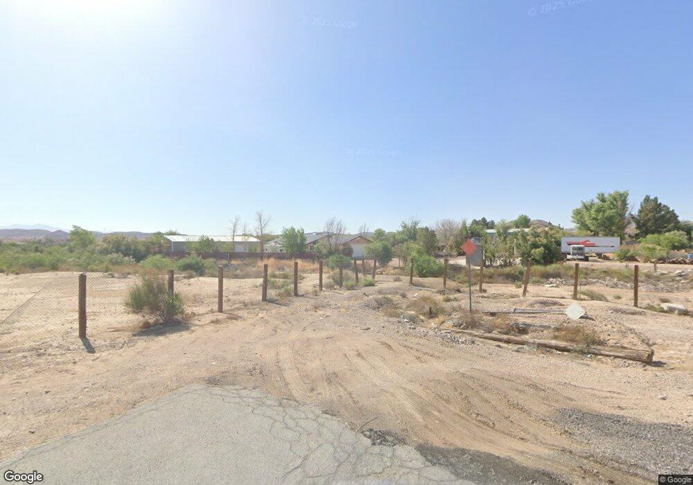
This home is located at 1828 E State Highway 168, Moapa, NV 89025 and is currently estimated at $299,155, approximately $226 per square foot. 1828 E State Highway 168 is a home located in Clark County with nearby schools including Ute Perkins Elementary School, Mack Lyon Middle School, and Moapa Valley High School.
Ownership History
Date
Name
Owned For
Owner Type
Purchase Details
Closed on
Nov 15, 2004
Sold by
Mora Luis E
Bought by
Maldonado Vilma N
Current Estimated Value
Home Financials for this Owner
Home Financials are based on the most recent Mortgage that was taken out on this home.
Original Mortgage
$135,200
Interest Rate
5.79%
Mortgage Type
Unknown
Purchase Details
Closed on
Nov 2, 2004
Sold by
Revocabl Mckevitt Jody M
Bought by
Maldonado Vilma N
Home Financials for this Owner
Home Financials are based on the most recent Mortgage that was taken out on this home.
Original Mortgage
$135,200
Interest Rate
5.79%
Mortgage Type
Unknown
Create a Home Valuation Report for This Property
The Home Valuation Report is an in-depth analysis detailing your home's value as well as a comparison with similar homes in the area
Purchase History
| Date | Buyer | Sale Price | Title Company |
|---|---|---|---|
| Maldonado Vilma N | -- | Fidelity National Title | |
| Maldonado Vilma N | $169,000 | Fidelity National Title |
Source: Public Records
Mortgage History
| Date | Status | Borrower | Loan Amount |
|---|---|---|---|
| Previous Owner | Maldonado Vilma N | $135,200 | |
| Closed | Maldonado Vilma N | $25,350 |
Source: Public Records
Tax History
| Year | Tax Paid | Tax Assessment Tax Assessment Total Assessment is a certain percentage of the fair market value that is determined by local assessors to be the total taxable value of land and additions on the property. | Land | Improvement |
|---|---|---|---|---|
| 2026 | $848 | $38,082 | $12,250 | $25,832 |
| 2025 | $824 | $39,091 | $12,250 | $26,841 |
| 2024 | $801 | $39,091 | $12,250 | $26,841 |
| 2023 | $801 | $36,236 | $10,150 | $26,086 |
| 2022 | $778 | $31,406 | $7,088 | $24,318 |
| 2021 | $756 | $29,720 | $6,230 | $23,490 |
| 2020 | $711 | $29,745 | $6,055 | $23,690 |
| 2019 | $690 | $29,555 | $5,775 | $23,780 |
| 2018 | $678 | $28,411 | $5,250 | $23,161 |
| 2017 | $759 | $28,995 | $5,250 | $23,745 |
| 2016 | $658 | $29,794 | $5,250 | $24,544 |
| 2015 | $657 | $26,525 | $5,250 | $21,275 |
| 2014 | $638 | $29,413 | $5,250 | $24,163 |
Source: Public Records
Map
Nearby Homes
- 1711 Nevada 168
- 1775 Dude Dr
- 1285 Embry Ave
- 460 N Henrie Rd
- 0 Interstate 15
- 835 Deakin Way
- 1775 W Topsy Ave
- 0 N Paiute Trail St
- 1930 W Turvey Ave
- 0 W Nan Way
- 0 Ed Clark Way
- 0 Embry Unit 2720937
- 0 O Moapa Valley Blvd
- 0 0 Unit 2346360
- 1415 N Curohee St
- 0 Ranch Rd
- 1920 Bowman Rd
- 4240 Mills St
- 1945 Clover Hollow
- 3420 Lyman St
- 790 Don Grady St
- 1824 E State Highway 168
- 775 Don Grady St
- 1760 Nevada 168
- 775 Don Grady St
- 725 Don Grady St
- 770 Don Grady St
- 880 Easy St
- 750 Don Grady St
- 1720 E State Highway 168
- 1751 Matador Way
- 1745 Meadow St
- 0 Don Grady
- 745 Don Grady St
- 1695 E Meadow Ave
- 1701 E State Hwy 168
- 730 Don Grady St
- 1880 Nevada 168
- 1701 Nevada 168
- 1625 E Meadow Ave
Your Personal Tour Guide
Ask me questions while you tour the home.