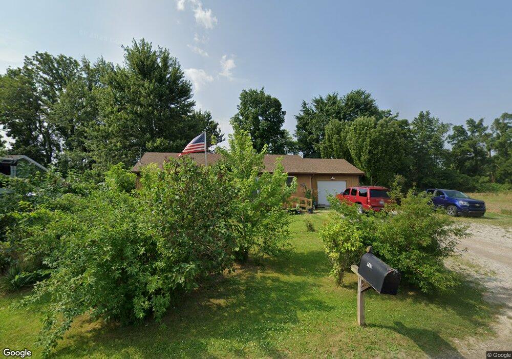
183 9th St Britton, MI 49229
Estimated Value: $136,000 - $199,000
About This Home
This home is located at 183 9th St, Britton, MI 49229 and is currently estimated at $178,130, approximately $176 per square foot. 183 9th St is a home located in Lenawee County with nearby schools including Britton-Macon Area School.
Ownership History
We collect this data history from publicly available records. To have your information removed, we recommend requesting removal directly through your county’s website.
Purchase Details
Purchase Details
Home Financials for this Owner
Home Financials are based on the most recent Mortgage that was taken out on this home.Purchase History
We collect this data history from publicly available records. To have your information removed, we recommend requesting removal directly through your county’s website.
| Date | Buyer | Sale Price | Title Company |
|---|---|---|---|
| -- | Fidelity National Title (Aka | ||
| -- | None Available |
Mortgage History
We collect this data history from publicly available records. To have your information removed, we recommend requesting removal directly through your county’s website.
| Date | Status | Borrower | Loan Amount |
|---|---|---|---|
| Previous Owner | $108,750 |
Tax History
We collect this data history from publicly available records. To have your information removed, we recommend requesting removal directly through your county’s website.
| Year | Tax Paid | Tax Assessment Tax Assessment Total Assessment is a certain percentage of the fair market value that is determined by local assessors to be the total taxable value of land and additions on the property. | Land | Improvement |
|---|---|---|---|---|
| 2025 | $1,085 | $68,600 | $0 | $0 |
| 2024 | $11 | $70,100 | $0 | $0 |
| 2022 | $1,012 | $55,600 | $0 | $0 |
| 2021 | $1,778 | $53,200 | $0 | $0 |
| 2020 | $1,767 | $50,400 | $0 | $0 |
| 2019 | $121,202 | $42,600 | $0 | $0 |
| 2018 | $1,725 | $42,648 | $0 | $0 |
| 2017 | $1,655 | $41,491 | $0 | $0 |
| 2016 | $1,548 | $40,567 | $0 | $0 |
| 2014 | -- | $41,416 | $0 | $0 |
Map
- 379 N Main St
- 448 E Chicago Blvd
- 8745 E Monroe Rd
- 8163 E Monroe Rd
- 9473 Britton Hwy
- 10833 Preston Rd
- 4380 N Blissfield Hwy
- 9110 Holloway Rd
- 6389 Pocklington Rd
- 5640 Centennial Rd
- 4360 Billmyer Hwy
- 4856 Deleon Dr
- 801 War Bonnet Dr
- 1029 Ridgeview Dr
- 6 Wheatland Dr
- Parcel B Fieldstone Dr
- 6518 N Rogers Hwy
- 6584 Holloway Rd
- 8826 Hawthorne Dr Unit Tecumseh
- 5340 Sutton Rd
- 162 9th St
- 152 9th St
- 174 9th St
- 182 9th St Unit 9th
- 182 9th St
- 165 9th St
- 159 9th St
- 153 9th St
- 149 9th St
- 177 9th St
- 465 N Main St
- 469 N Main St
- 100 10th St Unit BLK
- 475 N Main St
- 453 N Main St
- 0 Ninth St Unit and Tenth St 4007920
- 0 Ninth St Unit and Tenth St 92218
- 155 10th St
- 434 N Main St
- 431 N Main St
Ask me questions while you tour the home.