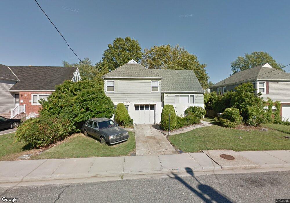
183 Branch Ave Freeport, NY 11520
Estimated Value: $565,089 - $673,000
Studio
2
Baths
1,440
Sq Ft
$430/Sq Ft
Est. Value
About This Home
This home is located at 183 Branch Ave, Freeport, NY 11520 and is currently estimated at $619,045, approximately $429 per square foot. 183 Branch Ave is a home located in Nassau County with nearby schools including Columbus Avenue School, Caroline G. Atkinson Intermediate School, and John W Dodd Middle School.
Ownership History
Date
Name
Owned For
Owner Type
Purchase Details
Closed on
Feb 26, 2018
Sold by
Sharpe Donald
Bought by
Brian Sharpe and Sharpe Irrevocable Trust
Current Estimated Value
Purchase Details
Closed on
Aug 25, 1995
Sold by
Administrator Of Veterans Affa Irs
Bought by
Sharpe Donald and Sharpe Wynsome
Home Financials for this Owner
Home Financials are based on the most recent Mortgage that was taken out on this home.
Original Mortgage
$112,500
Interest Rate
7.89%
Create a Home Valuation Report for This Property
The Home Valuation Report is an in-depth analysis detailing your home's value as well as a comparison with similar homes in the area
Home Values in the Area
Average Home Value in this Area
Purchase History
We collect this data history from publicly available records. To have your information removed, we recommend requesting removal directly through your county’s website.
| Date | Buyer | Sale Price | Title Company |
|---|---|---|---|
| Brian Sharpe | -- | -- | |
| Sharpe Donald | $42,900 | -- |
Source: Public Records
Mortgage History
We collect this data history from publicly available records. To have your information removed, we recommend requesting removal directly through your county’s website.
| Date | Status | Borrower | Loan Amount |
|---|---|---|---|
| Previous Owner | Sharpe Donald | $112,500 |
Source: Public Records
Tax History
| Year | Tax Paid | Tax Assessment Tax Assessment Total Assessment is a certain percentage of the fair market value that is determined by local assessors to be the total taxable value of land and additions on the property. | Land | Improvement |
|---|---|---|---|---|
| 2025 | $7,599 | $394 | $150 | $244 |
| 2024 | $843 | $394 | $150 | $244 |
| 2023 | $7,086 | $417 | $165 | $252 |
| 2022 | $7,086 | $394 | $150 | $244 |
| 2021 | $8,997 | $414 | $158 | $256 |
| 2020 | $6,858 | $487 | $456 | $31 |
| 2019 | $5,828 | $487 | $301 | $186 |
| 2018 | $5,615 | $737 | $0 | $0 |
| 2017 | $7,470 | $737 | $456 | $281 |
| 2016 | $8,576 | $737 | $456 | $281 |
| 2015 | $1,065 | $737 | $456 | $281 |
| 2014 | $1,065 | $737 | $456 | $281 |
| 2013 | $955 | $700 | $433 | $267 |
Source: Public Records
Map
Nearby Homes
- 587 S Bayview Ave
- 181 Branch Ave
- 572 S Bayview Ave
- 226 Westside Ave Unit B
- 51 Irving Ave
- 292 Westside Ave
- 13 Noon Place
- 60 Meister Blvd
- 160 Saint Marks Ave
- 49 Lester Ave
- 55 Lester Ave
- 300 Branch Ave
- 711 S Bayview Ave
- 210 Westend Ave Unit 8A
- 216 Westend Ave Unit 5B
- 8 Florence Ave Unit 16C
- 106 Irving Ave
- 12 Florence Ave Unit 29A
- 14 Florence Ave Unit 25B
- 77 Hampton Place
- 194 Branch Ave
- 188 Branch Ave
- 200 Branch Ave
- 609 S Bayview Ave
- 603 S Bayview Ave
- 617 S Bayview Ave
- 184 Branch Ave
- 193 Branch Ave
- 203 Branch Ave
- 1 Branch Ave
- 621 S Bayview Ave
- 207 Branch Ave
- 589 S Bayview Ave
- 176 Branch Ave
- 213 Branch Ave
- 189 Branch Ave
- 627 S Bayview Ave
- 5 Stirling Ave
- 9 Stirling Ave
- 232 Saint Marks Ave
Your Personal Tour Guide
Ask me questions while you tour the home.