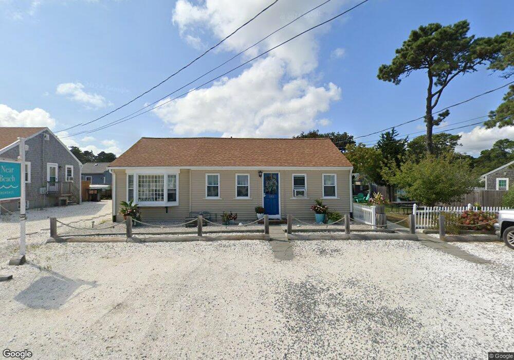
183 Captain Chase Rd Unit 8 Dennis Port, MA 02639
Dennis Port NeighborhoodEstimated Value: $289,720
1
Bed
1
Bath
384
Sq Ft
$754/Sq Ft
Est. Value
About This Home
This home is located at 183 Captain Chase Rd Unit 8, Dennis Port, MA 02639 and is currently estimated at $289,720, approximately $754 per square foot. 183 Captain Chase Rd Unit 8 is a home located in Barnstable County with nearby schools including Dennis-Yarmouth Regional High School and St. Pius X. School.
Ownership History
Date
Name
Owned For
Owner Type
Purchase Details
Closed on
Aug 21, 2006
Sold by
M & V Llc
Bought by
Kelly Sara
Current Estimated Value
Home Financials for this Owner
Home Financials are based on the most recent Mortgage that was taken out on this home.
Original Mortgage
$119,200
Outstanding Balance
$69,776
Interest Rate
6.88%
Mortgage Type
Commercial
Estimated Equity
$219,944
Create a Home Valuation Report for This Property
The Home Valuation Report is an in-depth analysis detailing your home's value as well as a comparison with similar homes in the area
Home Values in the Area
Average Home Value in this Area
Purchase History
| Date | Buyer | Sale Price | Title Company |
|---|---|---|---|
| Kelly Sara | $149,900 | -- |
Source: Public Records
Mortgage History
| Date | Status | Borrower | Loan Amount |
|---|---|---|---|
| Open | Kelly Sara | $119,200 |
Source: Public Records
Tax History
| Year | Tax Paid | Tax Assessment Tax Assessment Total Assessment is a certain percentage of the fair market value that is determined by local assessors to be the total taxable value of land and additions on the property. | Land | Improvement |
|---|---|---|---|---|
| 2025 | $1,240 | $286,400 | $0 | $286,400 |
| 2024 | $1,175 | $267,700 | $0 | $267,700 |
| 2023 | $1,026 | $219,600 | $0 | $219,600 |
| 2022 | $992 | $177,200 | $0 | $177,200 |
| 2021 | $964 | $159,800 | $0 | $159,800 |
| 2020 | $946 | $155,100 | $0 | $155,100 |
| 2019 | $933 | $151,200 | $0 | $151,200 |
| 2018 | $914 | $144,200 | $0 | $144,200 |
| 2017 | $887 | $144,200 | $0 | $144,200 |
| 2016 | $866 | $132,600 | $0 | $132,600 |
| 2015 | $849 | $132,600 | $0 | $132,600 |
| 2014 | $842 | $132,600 | $0 | $132,600 |
Source: Public Records
Map
Nearby Homes
- 183 Captain Chase Rd
- 194 Captain Chase Rd Unit 8
- 112 Old Wharf Rd Unit E4
- 141 Old Wharf Rd
- 36 Lora Ln
- 36 Lora
- 230 Old Wharf Rd Unit 272
- 230 Old Wharf Rd Unit 265
- 217 Old Wharf Rd Unit 64
- 242 Old Wharf Rd Unit F2
- 242 Old Wharf Rd Unit F2
- 241 Old Wharf Rd Unit 155
- 241 Old Wharf Rd
- 241 Old Wharf Rd Unit 127
- 241 Old Wharf Rd Unit 91
- 241 Old Wharf Rd Unit 162
- 10 Webster Way
- 262 Old Wharf Rd Unit 5
- 262 Old Wharf Rd Unit 5
- 262 Old Wharf Rd Unit 87
- 5 Captain Chase Rd
- 5 Captain Chase Rd
- 183 Captain Chase Rd Unit A&B
- 183 Captain Chase Rd Unit 1-7
- 183 Captain Chase Rd Unit 8&9
- 183 Captain Chase Rd Unit 1
- 183 Captain Chase Rd Unit 5
- 183 Captain Chase Rd Unit 9
- 183 Captain Chase Rd Unit 2
- 183 Captain Chase Rd Unit 6
- 183 Captain Chase Rd Unit 4
- 183 Captain Chase Rd Unit 7
- 183 Captain Chase Rd Unit 3
- 183 Captain Chase Rd Unit 1-6
- 183-189 Captain Chase Rd
- 183-187 Captain Chase Rd
- 189 Captain Chase Rd
- 70 Uncle Rolf Rd
- 179 Captain Chase Rd
- 191 Captain Chase Rd
Your Personal Tour Guide
Ask me questions while you tour the home.