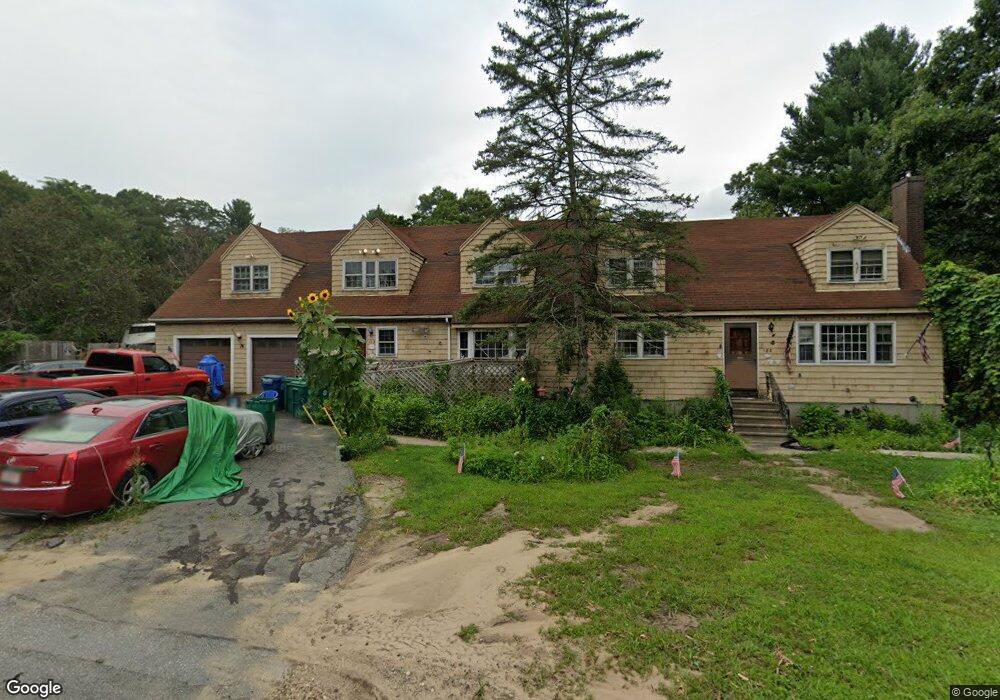
183 River St Billerica, MA 01821
Estimated Value: $751,000 - $790,000
6
Beds
2
Baths
3,217
Sq Ft
$239/Sq Ft
Est. Value
About This Home
This home is located at 183 River St, Billerica, MA 01821 and is currently estimated at $768,620, approximately $238 per square foot. 183 River St is a home located in Middlesex County with nearby schools including Billerica Memorial High School and Knowledge Beginnings South.
Ownership History
Date
Name
Owned For
Owner Type
Purchase Details
Closed on
Jan 12, 2016
Sold by
Mathews Kenneth W
Bought by
Mathews 2Nd Kenneth W
Current Estimated Value
Purchase Details
Closed on
Feb 6, 1963
Bought by
Mathews Kenneth W and Mathews Brenda P
Create a Home Valuation Report for This Property
The Home Valuation Report is an in-depth analysis detailing your home's value as well as a comparison with similar homes in the area
Purchase History
| Date | Buyer | Sale Price | Title Company |
|---|---|---|---|
| Mathews 2Nd Kenneth W | -- | -- | |
| Mathews Kenneth W | -- | -- |
Source: Public Records
Mortgage History
| Date | Status | Borrower | Loan Amount |
|---|---|---|---|
| Previous Owner | Mathews Kenneth W | $75,000 | |
| Previous Owner | Mathews Kenneth W | $15,319 |
Source: Public Records
Tax History
| Year | Tax Paid | Tax Assessment Tax Assessment Total Assessment is a certain percentage of the fair market value that is determined by local assessors to be the total taxable value of land and additions on the property. | Land | Improvement |
|---|---|---|---|---|
| 2025 | $7,533 | $662,500 | $288,700 | $373,800 |
| 2024 | $7,080 | $627,100 | $260,700 | $366,400 |
| 2023 | $7,022 | $591,600 | $227,400 | $364,200 |
| 2022 | $6,250 | $494,500 | $199,400 | $295,100 |
| 2021 | $6,028 | $463,700 | $181,900 | $281,800 |
| 2020 | $5,933 | $456,700 | $174,900 | $281,800 |
| 2019 | $5,821 | $431,800 | $164,400 | $267,400 |
| 2018 | $5,641 | $397,500 | $148,700 | $248,800 |
| 2017 | $5,391 | $382,600 | $143,500 | $239,100 |
| 2016 | $5,345 | $378,000 | $138,900 | $239,100 |
| 2015 | $5,278 | $375,900 | $131,200 | $244,700 |
| 2014 | $5,400 | $377,900 | $129,800 | $248,100 |
Source: Public Records
Map
Nearby Homes
- 6 Balsamwood Ave
- 19 Rosewood Ave
- 12 Fernwood Rd
- 14 Cedarwood Rd
- 54 River St
- 22 Mcrayne Hill Rd
- 28 Woodlawn Ave
- 405 Boston Rd Unit 6
- 3 Kenmar Dr Unit 3
- 7 Mount Vernon Ave
- 10 Kenmar Dr Unit 40
- 22 Osceola Ln
- 49 Ossamequin Rd
- 218 Rangeway Rd Unit 292
- 498 Middlesex Turnpike
- 37 Tower Farm Rd
- 175 Rangeway Rd
- 41 Waterview Ave
- 18 Gilman Rd
- 22 Horman St
Your Personal Tour Guide
Ask me questions while you tour the home.