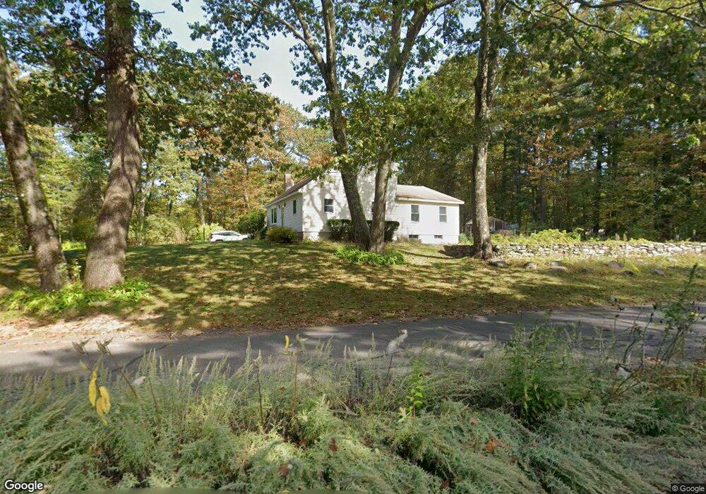
183 Worcester Rd Princeton, MA 01541
Estimated Value: $522,000 - $635,000
About This Home
This home is located at 183 Worcester Rd, Princeton, MA 01541 and is currently estimated at $563,133, approximately $343 per square foot. 183 Worcester Rd is a home located in Worcester County with nearby schools including Wachusett Regional High School.
Ownership History
We collect this data history from publicly available records. To have your information removed, we recommend requesting removal directly through your county’s website.
Purchase Details
Purchase Details
Home Financials for this Owner
Home Financials are based on the most recent Mortgage that was taken out on this home.Purchase Details
Home Values in the Area
Average Home Value in this Area
Purchase History
We collect this data history from publicly available records. To have your information removed, we recommend requesting removal directly through your county’s website.
| Date | Buyer | Sale Price | Title Company |
|---|---|---|---|
| -- | -- | ||
| $146,900 | -- | ||
| $129,500 | -- |
Mortgage History
We collect this data history from publicly available records. To have your information removed, we recommend requesting removal directly through your county’s website.
| Date | Status | Borrower | Loan Amount |
|---|---|---|---|
| Previous Owner | $121,000 | ||
| Previous Owner | $121,500 | ||
| Previous Owner | $110,000 |
Tax History
We collect this data history from publicly available records. To have your information removed, we recommend requesting removal directly through your county’s website.
| Year | Tax Paid | Tax Assessment Tax Assessment Total Assessment is a certain percentage of the fair market value that is determined by local assessors to be the total taxable value of land and additions on the property. | Land | Improvement |
|---|---|---|---|---|
| 2025 | $6,287 | $432,700 | $126,500 | $306,200 |
| 2024 | $5,918 | $421,800 | $124,200 | $297,600 |
| 2023 | $5,649 | $373,100 | $99,100 | $274,000 |
| 2022 | $5,406 | $344,800 | $99,100 | $245,700 |
| 2021 | $5,237 | $324,900 | $99,100 | $225,800 |
| 2020 | $5,077 | $320,300 | $99,100 | $221,200 |
| 2019 | $5,045 | $314,900 | $96,100 | $218,800 |
| 2018 | $4,977 | $288,000 | $79,400 | $208,600 |
| 2017 | $3,936 | $221,400 | $116,900 | $104,500 |
| 2016 | $3,941 | $221,400 | $116,900 | $104,500 |
| 2015 | $3,773 | $218,100 | $119,000 | $99,100 |
Map
- 103 Brooks Station Rd
- 17 Boylston Ave
- 89 Boulder Hill Rd
- 58 Merriam Rd
- 151 Sterling Rd
- 92 Ridge Rd
- 396 Elmwood Ave
- 25 Houghton Rd
- 340 Ball Hill Rd
- 56 Hubbardston Rd
- 139 E County Rd Unit 139
- 139 E County Rd
- 8 Elmwood Ave
- 30 Michael Dr
- 152 Mountain Rd
- 299 Sterling Rd
- Lots 4R/5R Bryant Rd
- 279 Redemption Rock Trail
- 328 E County Rd
- 1202 Wachusett St
- 179 Worcester Rd
- 2 Sharon Dr
- 3 Pinewood Dr
- 187 Worcester Rd
- 5 Pinewood Dr
- 177 Worcester Rd
- 8 Sharon Dr
- 184 Worcester Rd
- Lot 26 Pinewood Dr
- 191 Worcester Rd
- 11 Sharon Dr
- 6 Pinewood Dr
- 12 Sharon Dr
- 0 End of Sharon Dr
- 171 Worcester Rd
- 194 Worcester Rd
- 197 Worcester Rd
- 10 Pinewood Dr
- 16 Sharon Dr
- 1 Redwood Dr
Ask me questions while you tour the home.