18302 201st Ave SE Monroe, WA 98272
Estimated Value: $769,000 - $935,000
3
Beds
2
Baths
1,494
Sq Ft
$548/Sq Ft
Est. Value
About This Home
This home is located at 18302 201st Ave SE, Monroe, WA 98272 and is currently estimated at $818,566, approximately $547 per square foot. 18302 201st Ave SE is a home located in Snohomish County with nearby schools including Frank Wagner Elementary School, Monroe High School, and Monroe Montessori School.
Ownership History
Date
Name
Owned For
Owner Type
Purchase Details
Closed on
May 27, 1998
Sold by
Katzer Jeff E and Katzer Susan E
Bought by
Mattern Duane L and Mattern Denise K
Current Estimated Value
Home Financials for this Owner
Home Financials are based on the most recent Mortgage that was taken out on this home.
Original Mortgage
$175,750
Outstanding Balance
$29,471
Interest Rate
7.13%
Estimated Equity
$789,095
Create a Home Valuation Report for This Property
The Home Valuation Report is an in-depth analysis detailing your home's value as well as a comparison with similar homes in the area
Purchase History
| Date | Buyer | Sale Price | Title Company |
|---|---|---|---|
| Mattern Duane L | $185,000 | -- |
Source: Public Records
Mortgage History
| Date | Status | Borrower | Loan Amount |
|---|---|---|---|
| Open | Mattern Duane L | $175,750 |
Source: Public Records
Tax History
| Year | Tax Paid | Tax Assessment Tax Assessment Total Assessment is a certain percentage of the fair market value that is determined by local assessors to be the total taxable value of land and additions on the property. | Land | Improvement |
|---|---|---|---|---|
| 2026 | $6,025 | $767,600 | $526,400 | $241,200 |
| 2025 | $5,991 | $731,600 | $470,700 | $260,900 |
| 2024 | $5,991 | $725,800 | $480,700 | $245,100 |
| 2023 | $5,699 | $754,900 | $498,700 | $256,200 |
| 2022 | $5,334 | $557,600 | $349,200 | $208,400 |
| 2020 | $4,862 | $490,600 | $304,700 | $185,900 |
| 2019 | $4,445 | $444,700 | $268,300 | $176,400 |
| 2018 | $4,711 | $381,200 | $214,900 | $166,300 |
| 2017 | $4,117 | $345,800 | $184,600 | $161,200 |
| 2016 | $4,612 | $351,200 | $193,600 | $157,600 |
| 2015 | $4,468 | $326,800 | $168,400 | $158,400 |
| 2013 | $3,739 | $249,900 | $89,300 | $160,600 |
Source: Public Records
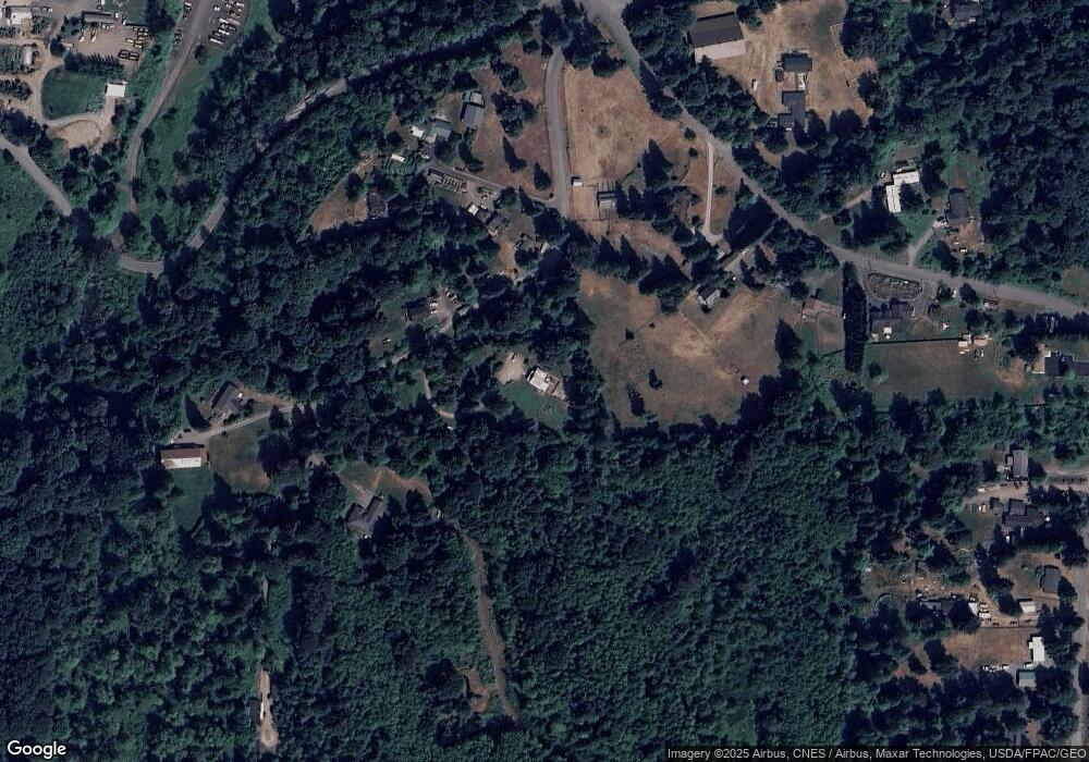
Map
Nearby Homes
- 18711 N High Rock Rd
- 189 XX 209th Ave SE
- 19330 208th Ave SE
- 433 S Lewis St Unit A & B
- 20610 Rimrock Rd
- 520 S Kelsey St
- 523 Park St
- 234 S Ferry Ave
- 807 W Main St Unit B
- 1017 W Main St Unit C102
- 315 Dennis Way
- 16307 177th Ave SE Unit A
- 1152 Johnson St SE
- 16110 178th Ave SE
- 16067 178th Ave SE
- 15978 179th Ave SE
- 17706 157th Place SE
- 19910 Old Owen Rd
- 18621 Blueberry Ln Unit A104
- 18621 Blueberry Ln Unit A204
- 18226 201st Ave SE
- 18224 201st Ave SE
- 18224 201st Ave SE
- 20124 N High Rock Rd
- 18132 201st Ave SE
- 18120 201st Ave SE
- 18700 N High Rock Rd
- 18228 201st Ave SE
- 20221 N High Rock Rd
- 20225 N High Rock Rd
- 18516 N High Rock Rd
- 18232 201st Ave SE
- 18414 N High Rock Rd
- 20702 181st Place SE
- 18318 N High Rock Rd
- 20205 181st Place SE
- 18420 N High Rock Rd
- 18526 N High Rock Rd
- 18510 N High Rock Rd
Your Personal Tour Guide
Ask me questions while you tour the home.