Estimated Value: $146,000 - $282,000
About This Home
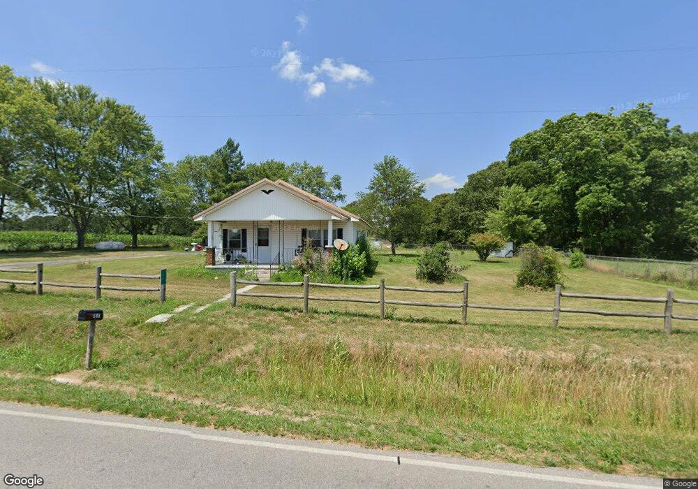
This home is located at 1831 State Highway D, Crane, MO 65633 and is currently estimated at $193,358, approximately $161 per square foot. 1831 State Highway D is a home located in Stone County with nearby schools including Crane Elementary School and Crane High School.
Ownership History
We collect this data history from publicly available records. To have your information removed, we recommend requesting removal directly through your county’s website.
Purchase Details
Purchase Details
Home Financials for this Owner
Home Financials are based on the most recent Mortgage that was taken out on this home.Purchase Details
Home Financials for this Owner
Home Financials are based on the most recent Mortgage that was taken out on this home.Purchase History
We collect this data history from publicly available records. To have your information removed, we recommend requesting removal directly through your county’s website.
| Date | Buyer | Sale Price | Title Company |
|---|---|---|---|
| -- | None Listed On Document | ||
| -- | None Listed On Document | ||
| -- | -- |
Mortgage History
We collect this data history from publicly available records. To have your information removed, we recommend requesting removal directly through your county’s website.
| Date | Status | Borrower | Loan Amount |
|---|---|---|---|
| Previous Owner | $96,000 | ||
| Previous Owner | $111,184 |
Tax History
We collect this data history from publicly available records. To have your information removed, we recommend requesting removal directly through your county’s website.
| Year | Tax Paid | Tax Assessment Tax Assessment Total Assessment is a certain percentage of the fair market value that is determined by local assessors to be the total taxable value of land and additions on the property. | Land | Improvement |
|---|---|---|---|---|
| 2025 | $292 | $5,780 | ||
| 2024 | $291 | $5,780 | ||
| 2023 | $291 | $5,780 | $0 | $0 |
| 2022 | $290 | $5,780 | $0 | $0 |
| 2021 | $293 | $5,780 | $0 | $0 |
| 2020 | $291 | $5,780 | $0 | $0 |
| 2019 | $290 | $5,780 | $0 | $0 |
| 2018 | $291 | $5,780 | $0 | $0 |
| 2017 | $291 | $5,800 | $0 | $0 |
| 2016 | $285 | $5,800 | $0 | $0 |
| 2015 | $284 | $5,800 | $0 | $0 |
| 2014 | $279 | $5,650 | $0 | $0 |
| 2012 | $257 | $5,650 | $0 | $0 |
Map
- 707 S Hemphill St
- 403 Kadee Dr
- 25059 W State Highway Tt
- 112 South St
- 103 Pirate Ln
- 304 W Meadow Ave
- 307 W Rose Ave
- 502 Myrtle St
- 504 E Park Ave
- 305 E Maud Ave
- 1007 Washington Ave
- 24672 Farm Road 2012
- 503 Airport Rd
- 503 Airport Rd Unit 3
- 503 Airport Rd
- 701 Spears Ave
- 2949 State Highway Jj
- 1338 Blackberry Ln
- 000 Tt Hwy
- 23575 Farm Road 2035
- 1831 State Highway D
- 1831 State Highway D
- 1858 State Highway D
- 1557 State Highway D
- 1356 Miners Trail
- 819 Musky Dime Dr
- 1307 Miners Trail
- 1200 Miners Trail
- 1174 Miners Trail
- 862 Miners Trail
- 1321 Miners Trail
- 1397 Musky Dime Dr
- 1625 Musky Dime Dr
- 227 State Highway Tt
- 1625 D-10
- 1414 Musky Dime Dr
- 695 Miners Trail
- 1007 Musky Dime Dr
- 767 Miners Trail
- 1119 State Highway D
Ask me questions while you tour the home.