Estimated Value: $290,000 - $493,000
4
Beds
2
Baths
2,664
Sq Ft
$151/Sq Ft
Est. Value
About This Home
This home is located at 1832 N 400 E, Lagro, IN 46941 and is currently estimated at $402,144, approximately $150 per square foot. 1832 N 400 E is a home located in Wabash County.
Ownership History
Date
Name
Owned For
Owner Type
Purchase Details
Closed on
Feb 2, 2017
Sold by
Ogino Angela
Bought by
Eads Ronald Scott
Current Estimated Value
Purchase Details
Closed on
Jun 29, 2011
Sold by
Bureroff Bryan D
Bought by
Eads Ronald Scott and Ogino Angela
Home Financials for this Owner
Home Financials are based on the most recent Mortgage that was taken out on this home.
Original Mortgage
$166,400
Interest Rate
4.56%
Mortgage Type
Purchase Money Mortgage
Create a Home Valuation Report for This Property
The Home Valuation Report is an in-depth analysis detailing your home's value as well as a comparison with similar homes in the area
Purchase History
| Date | Buyer | Sale Price | Title Company |
|---|---|---|---|
| Eads Ronald Scott | -- | None Available | |
| Eads Ronald Scott | -- | -- |
Source: Public Records
Mortgage History
| Date | Status | Borrower | Loan Amount |
|---|---|---|---|
| Previous Owner | Eads Ronald Scott | $166,400 |
Source: Public Records
Tax History
| Year | Tax Paid | Tax Assessment Tax Assessment Total Assessment is a certain percentage of the fair market value that is determined by local assessors to be the total taxable value of land and additions on the property. | Land | Improvement |
|---|---|---|---|---|
| 2025 | $2,927 | $342,800 | $135,600 | $207,200 |
| 2024 | $2,927 | $308,700 | $135,600 | $173,100 |
| 2023 | $3,063 | $305,000 | $135,600 | $169,400 |
| 2022 | $2,463 | $292,900 | $135,600 | $157,300 |
| 2021 | $2,276 | $249,900 | $109,000 | $140,900 |
| 2020 | $2,237 | $243,800 | $109,000 | $134,800 |
| 2019 | $1,110 | $164,700 | $38,500 | $126,200 |
| 2018 | $1,039 | $161,800 | $38,500 | $123,300 |
| 2017 | $767 | $142,500 | $22,300 | $120,200 |
| 2016 | $615 | $140,700 | $22,700 | $118,000 |
| 2014 | $525 | $132,300 | $23,100 | $109,200 |
| 2013 | $494 | $128,700 | $21,900 | $106,800 |
Source: Public Records
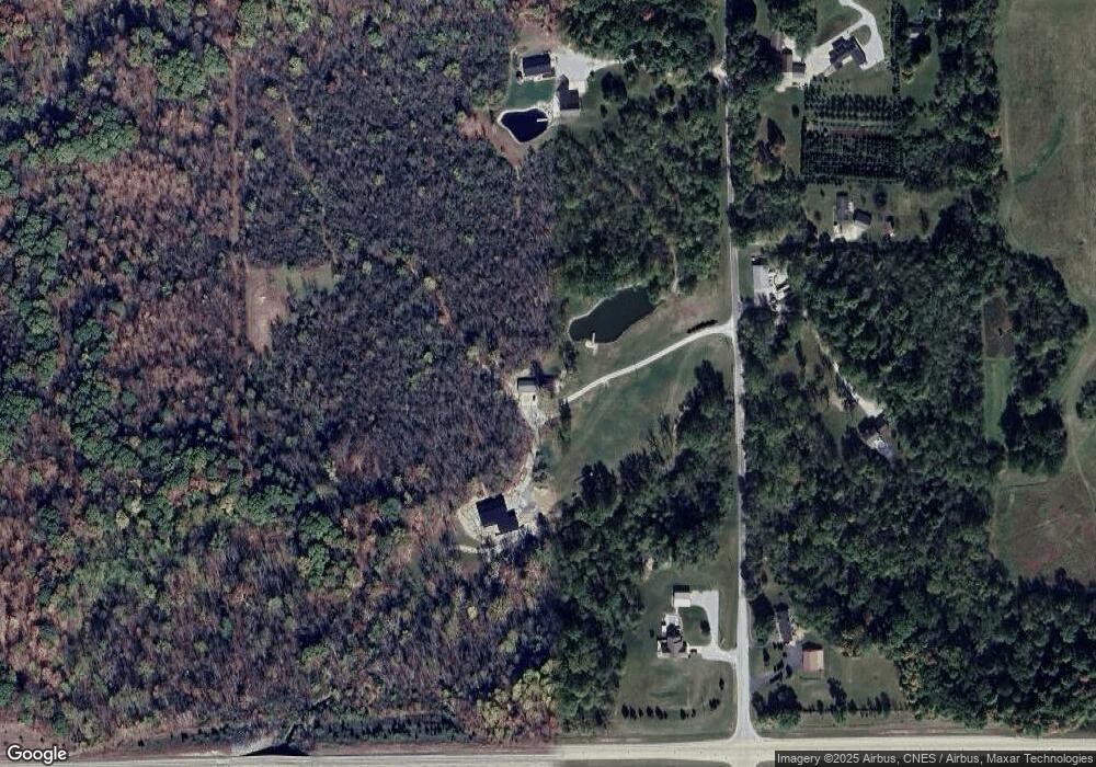
Map
Nearby Homes
- 6673 E Blue Star Hwy
- 5533 N 150 E
- 1886 S 75 E
- 9341 W 300 N
- 0 Manchester Ave
- 755 Michigan St
- 205 Salamonie Ln Unit 205
- 211 Salamonie Ln Unit 211
- 206 Salamonie Ln Unit 206
- 207 Salamonie Ln Unit 207
- 202 Salamonie Ln Unit 202
- 209 Salamonie Ln Unit 209
- 409 Congress St
- 436 W Bellville Ave
- 19 Conner St
- 8 Creekside Ln
- 23 Deer Ln
- 20 Deer Ln
- 18 Deer Ln
- 3 Creekside Ln
Your Personal Tour Guide
Ask me questions while you tour the home.