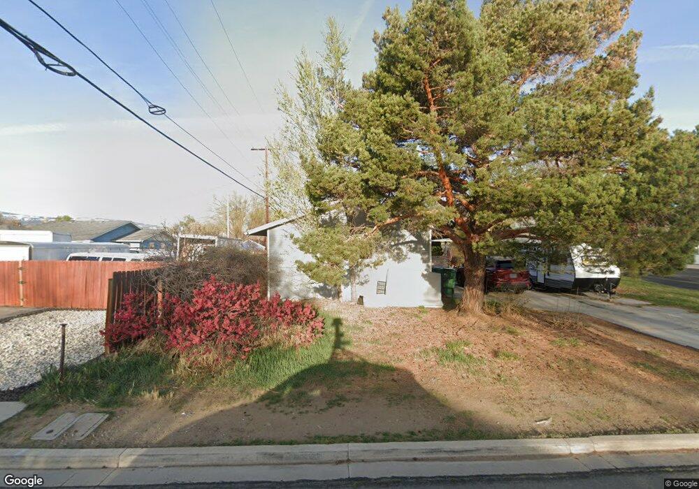
1835 Probasco Way Sparks, NV 89431
McCarran Boulevard-Probasco NeighborhoodEstimated Value: $360,000 - $465,000
About This Home
This home is located at 1835 Probasco Way, Sparks, NV 89431 and is currently estimated at $410,710, approximately $290 per square foot. 1835 Probasco Way is a home located in Washoe County with nearby schools including Greenbrae Elementary School, George L Dilworth Middle School, and Sparks High School.
Ownership History
We collect this data history from publicly available records. To have your information removed, we recommend requesting removal directly through your county’s website.
Purchase Details
Purchase Details
Home Values in the Area
Average Home Value in this Area
Purchase History
We collect this data history from publicly available records. To have your information removed, we recommend requesting removal directly through your county’s website.
| Date | Buyer | Sale Price | Title Company |
|---|---|---|---|
| $95,597 | None Available | ||
| -- | -- |
Tax History
We collect this data history from publicly available records. To have your information removed, we recommend requesting removal directly through your county’s website.
| Year | Tax Paid | Tax Assessment Tax Assessment Total Assessment is a certain percentage of the fair market value that is determined by local assessors to be the total taxable value of land and additions on the property. | Land | Improvement |
|---|---|---|---|---|
| 2026 | $2,458 | $58,691 | $36,540 | $22,151 |
| 2025 | $2,298 | $58,710 | $36,715 | $21,995 |
| 2024 | $2,298 | $56,417 | $34,755 | $21,662 |
| 2023 | $2,184 | $55,041 | $34,930 | $20,111 |
| 2022 | $1,935 | $44,837 | $28,455 | $16,382 |
| 2021 | $1,110 | $35,592 | $19,635 | $15,957 |
| 2020 | $1,043 | $33,504 | $17,850 | $15,654 |
| 2019 | $1,808 | $33,459 | $18,725 | $14,734 |
| 2018 | $1,658 | $28,523 | $13,545 | $14,978 |
| 2017 | $2,251 | $27,608 | $12,075 | $15,533 |
| 2016 | $885 | $27,937 | $11,550 | $16,387 |
| 2015 | $895 | $26,275 | $9,415 | $16,860 |
| 2014 | $867 | $24,703 | $7,980 | $16,723 |
| 2013 | -- | $22,927 | $5,985 | $16,942 |
Map
- 18 E P St
- 8 E O St
- 105 O St
- 105 Greenbrae Dr
- 1570 Teakwood Dr
- 370 O'Brien Way
- 136 York Way Unit 1
- 1940 4th St Unit 20
- 1940 4th St Unit 46
- 1940 4th St
- 1420 Tanglewood Dr
- 450 O Brien Way
- 85 Galleron Way
- 26 E I St
- 1945 4th St Unit 48
- 1945 4th St Unit 47
- 1945 4th St Unit 9
- 1945 4th St Unit 22
- 1945 4th St Unit 3
- 1945 4th St Unit 14
Ask me questions while you tour the home.