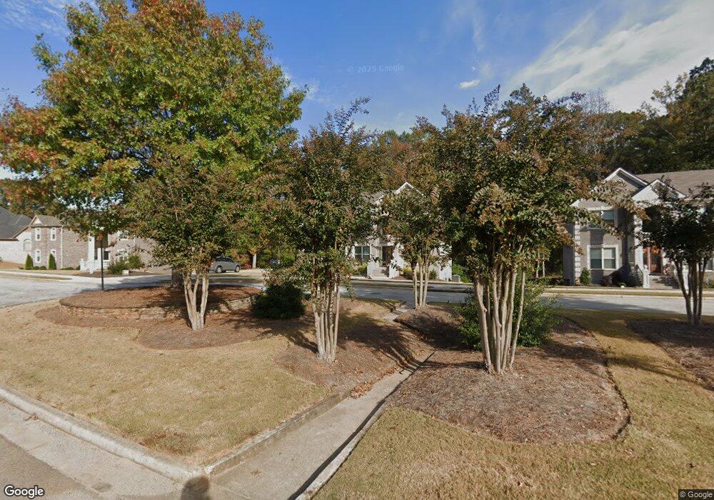
1836 Christopher Dr Unit 10 Conyers, GA 30094
Estimated Value: $600,000 - $827,000
About This Home
This home is located at 1836 Christopher Dr Unit 10, Conyers, GA 30094 and is currently estimated at $664,866, approximately $180 per square foot. 1836 Christopher Dr Unit 10 is a home located in Rockdale County with nearby schools including Flat Shoals Elementary School, Edwards Middle School, and Salem High School.
Ownership History
We collect this data history from publicly available records. To have your information removed, we recommend requesting removal directly through your county’s website.
Purchase Details
Home Financials for this Owner
Home Financials are based on the most recent Mortgage that was taken out on this home.Purchase Details
Home Financials for this Owner
Home Financials are based on the most recent Mortgage that was taken out on this home.Purchase Details
Home Financials for this Owner
Home Financials are based on the most recent Mortgage that was taken out on this home.Purchase Details
Purchase Details
Purchase Details
Home Values in the Area
Average Home Value in this Area
Purchase History
We collect this data history from publicly available records. To have your information removed, we recommend requesting removal directly through your county’s website.
| Date | Buyer | Sale Price | Title Company |
|---|---|---|---|
| $424,400 | -- | ||
| $424,400 | -- | ||
| $295,956 | -- | ||
| $48,000 | -- | ||
| $175,000 | -- | ||
| $130,000 | -- | ||
| -- | -- |
Mortgage History
We collect this data history from publicly available records. To have your information removed, we recommend requesting removal directly through your county’s website.
| Date | Status | Borrower | Loan Amount |
|---|---|---|---|
| Open | $424,400 | ||
| Closed | $424,400 | ||
| Previous Owner | $295,000 |
Tax History
We collect this data history from publicly available records. To have your information removed, we recommend requesting removal directly through your county’s website.
| Year | Tax Paid | Tax Assessment Tax Assessment Total Assessment is a certain percentage of the fair market value that is determined by local assessors to be the total taxable value of land and additions on the property. | Land | Improvement |
|---|---|---|---|---|
| 2025 | $3,803 | $247,480 | $58,480 | $189,000 |
| 2024 | $4,311 | $273,320 | $58,760 | $214,560 |
| 2023 | $3,463 | $238,760 | $56,400 | $182,360 |
| 2022 | $2,277 | $184,320 | $34,600 | $149,720 |
| 2021 | $2,054 | $169,760 | $31,644 | $138,116 |
| 2020 | $512 | $11,000 | $11,000 | $0 |
| 2019 | $537 | $11,000 | $11,000 | $0 |
| 2018 | $530 | $16,480 | $16,480 | $0 |
| 2017 | $853 | $17,800 | $17,800 | $0 |
| 2016 | $853 | $17,800 | $17,800 | $0 |
| 2015 | $499 | $10,000 | $10,000 | $0 |
| 2014 | $227 | $4,000 | $4,000 | $0 |
| 2013 | -- | $6,800 | $6,800 | $0 |
Map
- 1837 Christopher Dr
- 3060 Highway 20
- 2653 Laurel Woods Ln SE
- 2684 Harvest Dr SE
- 2597 Harvest Dr SE
- 820 Bridgewater Way SE
- 2706 Harvest Dr SE
- 2720 Harvest Dr SE
- 2914 Landmark Dr SE
- 1430 Hillside Place SE
- 2717 Stanton Woods Dr SE
- 570 Pine Ridge Trail SE
- 675 Lakeridge Dr SE
- 794 Lennox Dr SE
- 804 Lennox Dr SE
- 814 Lennox Dr SE
- 574 Almand Branch Rd SE Unit 1
- 2651 Weatherstone Cir SE
- 1195 Vineyard Dr SE
- 556 Greenview Ave SE
- 1844 Christopher Dr
- 1836 Christopher Dr
- 1848 Christopher Dr Unit 12
- 1848 Christopher Dr
- 0 Christopher Dr Unit 7458055
- 0 Christopher Dr Unit 8036422
- 0000 Christopher Dr
- 0 Christopher Dr Unit 5746283
- 2489 Lost Valley Trail SE
- 1832 Christopher Dr
- 1832 Christopher Dr Unit 9
- 1841 Christopher Dr
- 1845 Christopher Dr Unit 23
- 1845 Christopher Dr
- 1845 Christopher Dr Unit N/
- 1849 Christopher Dr
- 1849 Christopher Dr Unit 22
- 1854 Christopher Dr Unit 329
- 1854 Christopher Dr
- 1828 Christopher Dr
Ask me questions while you tour the home.