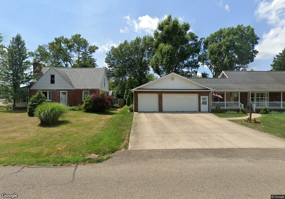
1839 Fairview Place Alliance, OH 44601
Estimated Value: $169,489 - $194,000
2
Beds
2
Baths
1,344
Sq Ft
$133/Sq Ft
Est. Value
About This Home
This home is located at 1839 Fairview Place, Alliance, OH 44601 and is currently estimated at $178,122, approximately $132 per square foot. 1839 Fairview Place is a home located in Stark County with nearby schools including Alliance Early Learning School, Alliance Intermediate School at Northside, and Alliance Middle School.
Ownership History
Date
Name
Owned For
Owner Type
Purchase Details
Closed on
Nov 3, 2017
Sold by
Kaurich Debora J
Bought by
Barzda Steven J
Current Estimated Value
Purchase Details
Closed on
Jul 1, 2004
Sold by
Moore Kenneth G and Moore Mary Kay
Bought by
Barzda Steven J and Kaurich Debora J
Home Financials for this Owner
Home Financials are based on the most recent Mortgage that was taken out on this home.
Original Mortgage
$83,500
Interest Rate
6.37%
Mortgage Type
Purchase Money Mortgage
Purchase Details
Closed on
May 15, 1995
Sold by
Abrams Scott E
Bought by
Moore Kenneth G
Home Financials for this Owner
Home Financials are based on the most recent Mortgage that was taken out on this home.
Original Mortgage
$58,000
Interest Rate
5.95%
Mortgage Type
New Conventional
Purchase Details
Closed on
Mar 12, 1991
Create a Home Valuation Report for This Property
The Home Valuation Report is an in-depth analysis detailing your home's value as well as a comparison with similar homes in the area
Home Values in the Area
Average Home Value in this Area
Purchase History
| Date | Buyer | Sale Price | Title Company |
|---|---|---|---|
| Barzda Steven J | $35,700 | None Available | |
| Barzda Steven J | $93,500 | -- | |
| Moore Kenneth G | $69,000 | -- | |
| -- | $51,000 | -- |
Source: Public Records
Mortgage History
| Date | Status | Borrower | Loan Amount |
|---|---|---|---|
| Previous Owner | Barzda Steven J | $83,500 | |
| Previous Owner | Moore Kenneth G | $58,000 |
Source: Public Records
Tax History
| Year | Tax Paid | Tax Assessment Tax Assessment Total Assessment is a certain percentage of the fair market value that is determined by local assessors to be the total taxable value of land and additions on the property. | Land | Improvement |
|---|---|---|---|---|
| 2025 | -- | $51,660 | $15,120 | $36,540 |
| 2024 | -- | $51,660 | $15,120 | $36,540 |
| 2023 | $1,248 | $40,220 | $11,940 | $28,280 |
| 2022 | $1,273 | $40,220 | $11,940 | $28,280 |
| 2021 | $1,629 | $40,220 | $11,940 | $28,280 |
| 2020 | $1,478 | $34,100 | $10,400 | $23,700 |
| 2019 | $1,457 | $34,100 | $10,400 | $23,700 |
Source: Public Records
Map
Nearby Homes
- 1718 Fernwood Blvd
- 1038 Vincent Blvd
- 1534 Fernwood Blvd
- 2120 Blenheim Ave
- 1539 Parkway Blvd
- 0 Federal Ave
- 2435 Eastern Ave
- 1310 Overlook Dr
- 1156 Parkside Dr
- 2144 Ridgewood Ave
- 720 Vincent Blvd
- 1073 Parkside Dr
- 2580 Edgewood Ave
- 24865 Center Ave
- 2229 Western Ave
- 1601 Raywood Rd
- 2619 Center Ave
- 1114 Briarcliff Ave
- 2630 Blenheim Ave
- 2635 Blenheim Ave
- 1819 Fairview Place
- 1844 Lilly Ln
- 1095 Hartshorn St
- 1826 Lilly Ln
- 1911 Fairview Place
- 1807 Fairview Place
- 1085 Hartshorn St
- 1810 Lilly Ln
- 1094 Roseland Rd
- 1133 W State St
- 1900 Fairview Place
- 1077 Hartshorn St
- 1794 Lilly Ln
- 1739 Fairview Place
- 1078 Roseland Rd
- 1131 W State St
- 1131 W State St
- 1069 Hartshorn St
- 1070 Roseland Rd
- 1740 Lilly Ln
Your Personal Tour Guide
Ask me questions while you tour the home.