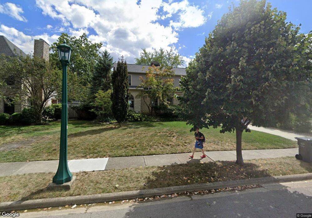
1839 Stanford Rd Columbus, OH 43212
Estimated Value: $794,000 - $831,000
3
Beds
3
Baths
2,257
Sq Ft
$362/Sq Ft
Est. Value
About This Home
This home is located at 1839 Stanford Rd, Columbus, OH 43212 and is currently estimated at $816,156, approximately $361 per square foot. 1839 Stanford Rd is a home located in Franklin County with nearby schools including Barrington Road Elementary School, Jones Middle School, and Upper Arlington High School.
Ownership History
Date
Name
Owned For
Owner Type
Purchase Details
Closed on
Jul 10, 2006
Sold by
Vereb Sanford L and Vereb Ellen C
Bought by
Vereb Sandy and Vereb Ellen
Current Estimated Value
Purchase Details
Closed on
Dec 14, 1983
Bought by
Vereb Sanford L
Create a Home Valuation Report for This Property
The Home Valuation Report is an in-depth analysis detailing your home's value as well as a comparison with similar homes in the area
Home Values in the Area
Average Home Value in this Area
Purchase History
| Date | Buyer | Sale Price | Title Company |
|---|---|---|---|
| Vereb Sandy | -- | None Available | |
| Vereb Sanford L | $70,000 | -- |
Source: Public Records
Tax History
| Year | Tax Paid | Tax Assessment Tax Assessment Total Assessment is a certain percentage of the fair market value that is determined by local assessors to be the total taxable value of land and additions on the property. | Land | Improvement |
|---|---|---|---|---|
| 2025 | $13,859 | $239,400 | $108,570 | $130,830 |
| 2024 | $13,859 | $239,400 | $108,570 | $130,830 |
| 2023 | $13,688 | $239,400 | $108,570 | $130,830 |
| 2022 | $11,566 | $165,520 | $59,220 | $106,300 |
| 2021 | $10,239 | $165,520 | $59,220 | $106,300 |
| 2020 | $10,148 | $165,520 | $59,220 | $106,300 |
| 2019 | $10,338 | $146,650 | $59,220 | $87,430 |
| 2018 | $9,222 | $146,650 | $59,220 | $87,430 |
| 2017 | $10,190 | $146,650 | $59,220 | $87,430 |
| 2016 | $8,340 | $124,640 | $45,960 | $78,680 |
| 2015 | $8,333 | $124,640 | $45,960 | $78,680 |
| 2014 | $8,243 | $124,640 | $45,960 | $78,680 |
| 2013 | $3,987 | $113,330 | $41,790 | $71,540 |
Source: Public Records
Map
Nearby Homes
- 1942 Bedford Rd
- 1921 Wyandotte Rd
- 1951 Glenn Ave
- 1780 Waltham Rd
- 1876 Westwood Ave
- 2006 Cambridge Blvd
- 1810 Ashland Ave
- 2151 Fairfax Rd
- 2208 Arlington Ave
- 1654-1656 Ashland Ave
- 1785 Northwest Ct Unit D
- 1648 Ashland Ave
- 2015 W 5th Ave Unit 211
- 2015 W 5th Ave Unit 102
- 2015 W 5th Ave Unit 108
- 1869 Tewksbury Rd
- 1627 Doone Rd
- 1561 Glenn Ave
- 1775 Northwest Ct Unit 105
- 1624 Ashland Ave
- 1910 Coventry Rd
- 1827 Stanford Rd
- 1893 Bedford Rd
- 1885 Bedford Rd
- 1890 Coventry Rd
- 1840 Stanford Rd
- 1927 Bedford Rd
- 1879 Bedford Rd
- 1884 Coventry Rd
- 1915 Coventry Rd
- 1900 Bedford Rd
- 1901 Coventry Rd
- 1867 Bedford Rd
- 1892 Bedford Rd
- 1924 Bedford Rd
- 1940 Coventry Rd
- 1893 Coventry Rd
- 1876 Coventry Rd
- 1943 Bedford Rd
- 1884 Bedford Rd
Your Personal Tour Guide
Ask me questions while you tour the home.