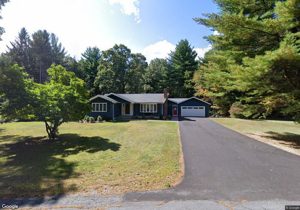
184 Littlefield Rd Boxborough, MA 01719
Boxborough AreaEstimated Value: $822,000 - $889,945
About This Home
This home is located at 184 Littlefield Rd, Boxborough, MA 01719 and is currently estimated at $871,236, approximately $463 per square foot. 184 Littlefield Rd is a home located in Middlesex County with nearby schools including Acton-Boxborough Regional High School.
Ownership History
We collect this data history from publicly available records. To have your information removed, we recommend requesting removal directly through your county’s website.
Purchase Details
Home Values in the Area
Average Home Value in this Area
Purchase History
We collect this data history from publicly available records. To have your information removed, we recommend requesting removal directly through your county’s website.
| Date | Buyer | Sale Price | Title Company |
|---|---|---|---|
| $296,000 | -- |
Mortgage History
We collect this data history from publicly available records. To have your information removed, we recommend requesting removal directly through your county’s website.
| Date | Status | Borrower | Loan Amount |
|---|---|---|---|
| Open | $50,000 | ||
| Open | $300,000 | ||
| Closed | $307,500 | ||
| Closed | $288,000 | ||
| Closed | $294,000 | ||
| Closed | $300,000 | ||
| Closed | $300,000 | ||
| Closed | $300,000 | ||
| Closed | $300,700 | ||
| Previous Owner | $175,000 |
Tax History
We collect this data history from publicly available records. To have your information removed, we recommend requesting removal directly through your county’s website.
| Year | Tax Paid | Tax Assessment Tax Assessment Total Assessment is a certain percentage of the fair market value that is determined by local assessors to be the total taxable value of land and additions on the property. | Land | Improvement |
|---|---|---|---|---|
| 2025 | $11,638 | $768,700 | $283,500 | $485,200 |
| 2024 | $11,350 | $757,200 | $272,000 | $485,200 |
| 2023 | $10,647 | $686,000 | $233,700 | $452,300 |
| 2022 | $10,478 | $601,500 | $233,700 | $367,800 |
| 2020 | $8,537 | $510,600 | $233,700 | $276,900 |
| 2019 | $8,384 | $510,600 | $233,700 | $276,900 |
| 2018 | $5,569 | $495,600 | $222,800 | $272,800 |
| 2017 | $7,546 | $448,900 | $222,800 | $226,100 |
| 2016 | $7,337 | $448,500 | $222,800 | $225,700 |
| 2015 | $7,229 | $434,200 | $200,600 | $233,600 |
| 2014 | $6,938 | $392,200 | $194,700 | $197,500 |
Map
- 17 Orchard Dr
- 171 Depot Rd
- 67 Seminole Rd
- 220 Newtown Rd
- 5 Elm St Unit 1
- 78 Macintosh Ln
- 58 Macintosh Ln Unit 58
- 146 Russet Ln Unit 146
- 933 Liberty Square Rd
- 73 Liberty Square Rd Unit 30A
- 6 Genevieve Ln
- 12 Kennedy Ln
- 3 West Rd
- 255 Arlington St Unit 12A
- 23 Spruce St Unit B
- 20 Pine Pasture Run
- 117 Summer Rd
- 104 Summer Rd
- 303 Harwood Ave
- 3 Colonial Dr
- 170 Littlefield Rd
- 152 Littlefield Rd
- 214 Littlefield Rd
- 134 Littlefield Rd
- 35 Sargent Rd
- 232 Littlefield Rd
- 265 Littlefield Rd
- 55 Sargent Rd
- 239 Littlefield Rd
- 252 Littlefield Rd
- 36 Sargent Rd
- 270 Littlefield Rd
- 80 Littlefield Rd
- 148 Sargent Rd
- 22 Littlefield Rd
- 201 Sargent Rd
- 200 Sargent Rd
- 221 Sargent Rd
- 455 Central St
- 440 Central St
Ask me questions while you tour the home.